Browse / Czechia / Central Bohemian / Senomaty
Senomaty
Central Bohemianvillage

Senomaty
Total population
1,271
Demographic figures from Czech Statistical Office. Overview below cites Wikipedia and may reference a different year.
City facts
Facts from Wikidata (CC0).
Overview
Senomaty is a market town in Rakovník District in the Central Bohemian Region of the Czech Republic. It has about 1,300 inhabitants.
Read more on WikipediaHistory & geography
History
The first written mention of Senomaty is in a donation deed of King Wenceslaus I of Bohemia from 1233. During the rule of King John of Bohemia, in 1315, Senomaty was promoted to a market town. In 1589, Emperor Rudolf II sold Senomaty to Václav Hochhauzer of Pšovce. During his rule the inhabitants were oppressed. In 1592, the market town was destroyed by fire and many residents preferred to move away. The Hochhauzer family owned Senomaty until 1613, when they sold it to the town of Rakovník. With a short break in 1624, Senomaty was property of Rakovník until the establishment of an independent municipality in 1850, and shared its owners and history.
Geography
Senomaty is located about west of Rakovník and west of Prague. It lies in the Rakovník Uplands. The highest point is at above sea level. The stream Rakovnický potok flows through the market town.
Excerpted from the corresponding Wikipedia article (CC BY-SA).
Geography
Coordinates & boundaries from the US Census TIGER/Line shapefiles.
Climate
Air quality
Walkability
Amenities nearby
Wildlife & biodiversity
Most-observed species
- Eurasian BlackbirdTurdus merula Linnaeus, 1758 · Aves269
- Great TitParus major Linnaeus, 1758 · Aves246
- MallardAnas platyrhynchos Linnaeus, 1758 · Aves241
- Common BuzzardButeo buteo (Linnaeus, 1758) · Aves214
- Great Spotted WoodpeckerDendrocopos major (Linnaeus, 1758) · Aves208
- Common ChaffinchFringilla coelebs Linnaeus, 1758 · Aves198
- Mute SwanCygnus olor (J.F.Gmelin, 1789) · Aves193
- Eurasian Blue TitCyanistes caeruleus (Linnaeus, 1758) · Aves186
Citizen-science & research observations from the Global Biodiversity Information Facility (GBIF).
Earthquake history
Most recent
- M 3.2 — 2018-05-222 km ENE of Luby, Czechia
- M 4.1 — 2018-05-212 km SSE of Erlbach, Germany
- M 3.8 — 2014-05-314 km NE of Skalná, Czechia
- M 4 — 2011-09-045 km WSW of Habartov, Czechia
- M 2.9 — 2008-11-234 km SW of Oloví, Czechia
- M 2.9 — 2008-10-313 km NW of Zwota, Germany
Events from the USGS Earthquake Catalog (global) (FDSN Event Web Service).
Photos
Sights & places nearby
Notable people from here


People born within ~10 km, from Wikidata (CC0). Click any name for their Wikipedia article.
Nearby places in Central Bohemian
- Zdeslav5.7 mi away · pop. 104
- Hokov5.7 mi away · pop. 83
- Kalivody11.3 mi away · pop. 89
- Drnek15.6 mi away · pop. 161
- Otročiněves16.5 mi away · pop. 434
- Srby16.5 mi away · pop. 355
- Stradonice17.9 mi away · pop. 150
- Knížkovice18.4 mi away · pop. 135
- Tuřany19 mi away · pop. 437
- Karlova Huť20.1 mi away · pop. 348
- Tmaň21.4 mi away · pop. 755
- Želevčice22.7 mi away · pop. 97
Geography & sun
Elevation, sunrise/sunset and daylight from Open-Meteo. Solar climatology from NASA POWER.
Nearby airports
Public attention
Pageview totals from the Wikimedia Pageviews API.
Books about this place
Recent natural events nearby
Ground air-quality sensors
Recently spotted species
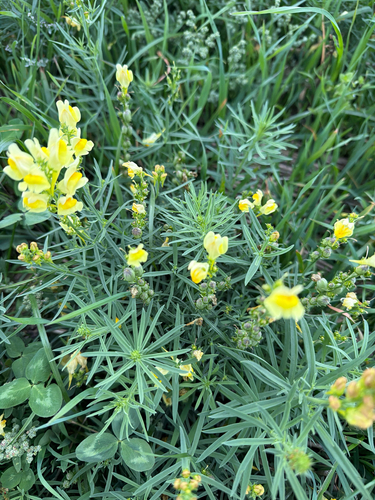
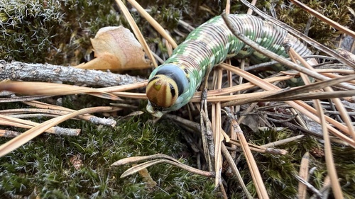
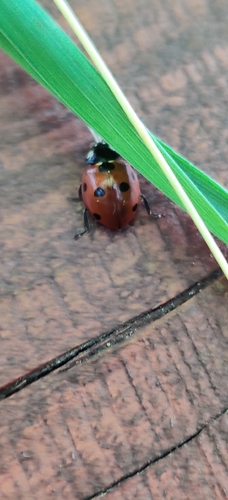
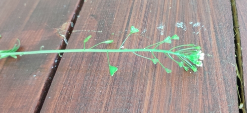
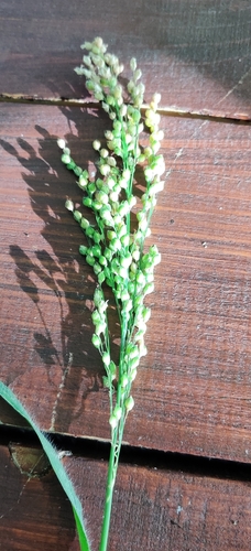
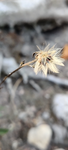
Research-grade observations from iNaturalist (within ~15 mi).
Events
Gallery
Official Identifiers
ČSÚ — Czech Statistical Office
- RÚIAN code
- CZ542377
- Population (Wikidata)
- 1,280
- Wikidata
- Q2396342
RÚIAN obec ID via Wikidata P782
Sources
- • Wikipedia
- • Wikidata
- • USGS Earthquake Catalog (global feed)
- • GBIF (Global Biodiversity Information Facility)
- • iNaturalist
- • Open-Meteo / sunrise-sunset.org
- • Wikipedia Pageviews API
- • Wikidata SPARQL (CC0) — population, area, elevation, inception, head of government, Commons image
- • ČSÚ — Czech Statistical Office — RÚIAN obec ID via Wikidata P782