Browse / Czechia / Plzeň / Starý Plzenec
Starý Plzenec
Plzeňtown

Starý Plzenec
Total population
3,660
Demographic figures from Czech Statistical Office. Overview below cites Wikipedia and may reference a different year.
City facts
Facts from Wikidata (CC0).
Overview
Starý Plzenec is a town in Plzeň-City District in the Plzeň Region of the Czech Republic. It has about 5,300 inhabitants. The town is located on the Úslava River in the Švihov Highlands.
Read more on WikipediaHistory & geography
History
The first written mention of the settlement is from a chronicle of Thietmar of Merseburg and dates to 976, when Duke Boleslaus II defeated a Bavarian army below a local stronghold, then called Plzeň. The urban settlement below the castle evolved into an administrative and mercantile centre of western Bohemia, but this came to an end in 1295, when King Wenceslaus II founded the new city of Plzeň in a more suitable location at the nearby confluence of the Mže and Radbuza rivers. The new city soon took over the functions of old Plzeň and became known as Nová Plzeň ('new Plzeň', later simply Plzeň), while the older settlement was called Stará Plzeň ('old Plzeň'). From 1442 at the latest, the old town was called Starý Plzenec.
Geography
Starý Plzenec is located about southeast of Plzeň. It lies in the Švihov Highlands. The highest point is the Radyně Hill at above sea level. The Úslava River flows through the town.
Excerpted from the corresponding Wikipedia article (CC BY-SA).
Geography
Coordinates & boundaries from the US Census TIGER/Line shapefiles.
Climate
Air quality
Walkability
Amenities nearby
Wildlife & biodiversity
Earthquake history
Photos
Sights & places nearby
Notable people from here
Nearby places in Plzeň
- Ejpovice3.8 mi away · pop. 497
- Zdemyslice6.6 mi away · pop. 497
- Mešno7.2 mi away · pop. 87
- Česká Bříza9.2 mi away · pop. 445
- Drahkov9.7 mi away · pop. 133
- Příšov10.9 mi away · pop. 231
- Lhota pod Radčem13.9 mi away · pop. 267
- Borovy14.2 mi away · pop. 235
- Klášter14.3 mi away · pop. 173
- Vejvanov14.3 mi away · pop. 216
- Kotovice14.4 mi away · pop. 150
- Dolní Hradiště14.9 mi away · pop. 42
Geography & sun
Elevation, sunrise/sunset and daylight from Open-Meteo. Solar climatology from NASA POWER.
Nearby airports
Public attention
Pageview totals from the Wikimedia Pageviews API.
Books about Starý Plzenec
Search results from Open Library.
Recent natural events nearby
Ground air-quality sensors
Recently spotted species
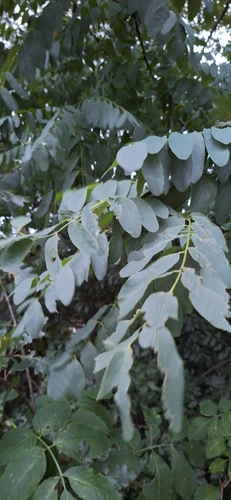
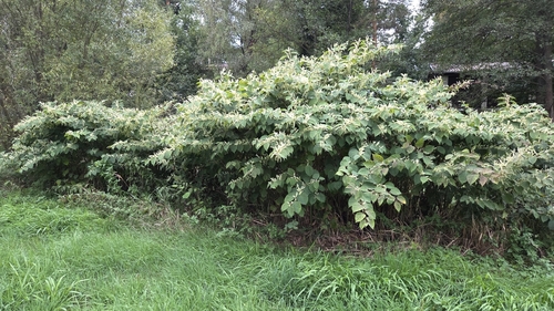
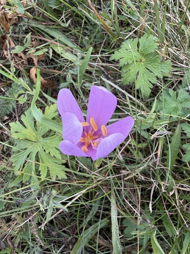
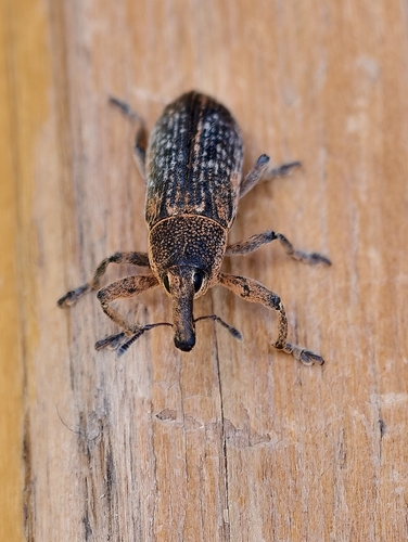
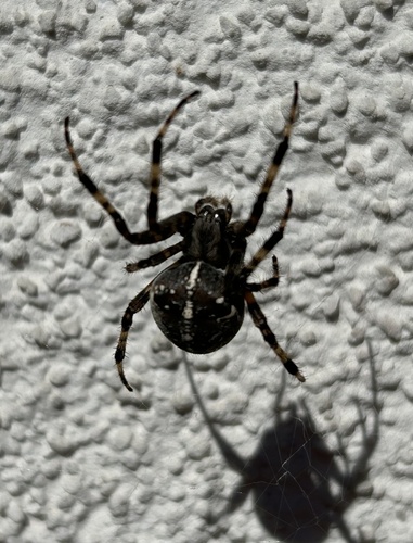
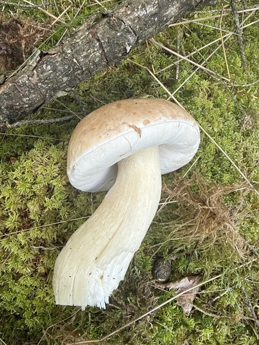
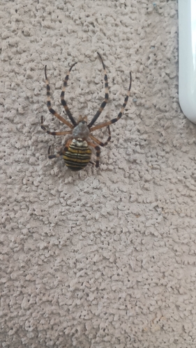
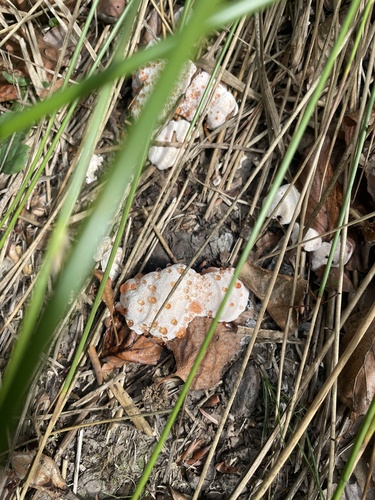
Research-grade observations from iNaturalist (within ~15 mi).
Events
Gallery
Official Identifiers
ČSÚ — Czech Statistical Office
- RÚIAN code
- CZ558371
- Population (Wikidata)
- 5,403
- Wikidata
- Q1641774
RÚIAN obec ID via Wikidata P782
Sources
- • Wikipedia
- • Wikidata
- • iNaturalist
- • Open-Meteo / sunrise-sunset.org
- • Wikipedia Pageviews API
- • Open Library
- • Wikidata SPARQL (CC0) — population, area, elevation, inception, head of government, Commons image
- • ČSÚ — Czech Statistical Office — RÚIAN obec ID via Wikidata P782