Browse / Czechia / Plzeň / Štěnovice
Štěnovice
Plzeňvillage

Štěnovice
Total population
1,331
Demographic figures from Czech Statistical Office. Overview below cites Wikipedia and may reference a different year.
City facts
Facts from Wikidata (CC0).
Overview
Štěnovice is a municipality and village in Plzeň-South District in the Plzeň Region of the Czech Republic. It has about 2,400 inhabitants.
Read more on WikipediaHistory & geography
History
The first written mention of Štěnovice is from 1327. The village was owned by various lesser noble families. For a long time Štěnovice was owned by the Kadovský family (1460s–1554) and Henigars of Žeberk (1601–1697). Among the most important owners was Countess Terezie Pöttingová, who founded here a Trinitarian monastery with a church in 1747–1753.
Geography
Štěnovice is located about south of Plzeň. It lies in the Švihov Highlands. The highest point is a nameless hill at above sea level. The municipality is situated on the right bank of the Úhlava River.
Excerpted from the corresponding Wikipedia article (CC BY-SA).
Geography
Coordinates & boundaries from the US Census TIGER/Line shapefiles.
Climate
Air quality
Walkability
Amenities nearby
Wildlife & biodiversity
Earthquake history
Photos
Sights & places nearby
Notable people from here
Geography & sun
Elevation, sunrise/sunset and daylight from Open-Meteo. Solar climatology from NASA POWER.
Nearby airports
Public attention
Pageview totals from the Wikimedia Pageviews API.
Books about this place
Recent natural events nearby
Ground air-quality sensors
Recently spotted species
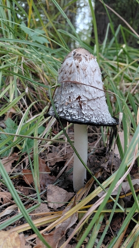
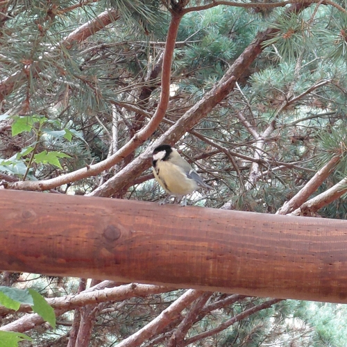
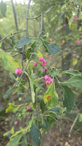
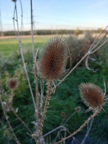
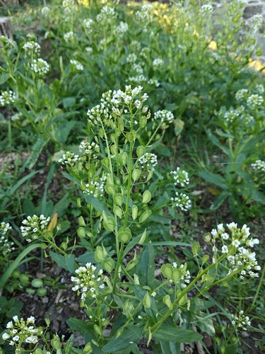
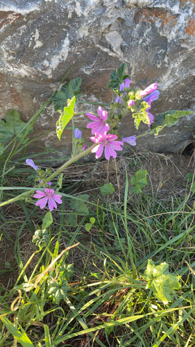
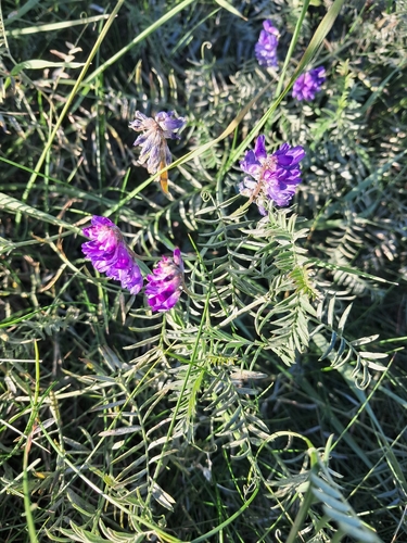
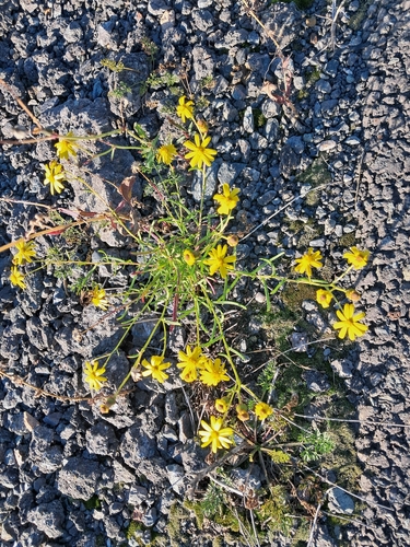
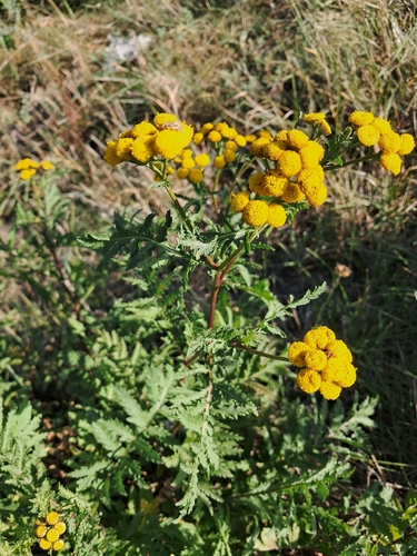
Research-grade observations from iNaturalist (within ~15 mi).
Events
Gallery
Official Identifiers
ČSÚ — Czech Statistical Office
- RÚIAN code
- CZ558435
- Population (Wikidata)
- 2,341
- Wikidata
- Q260233
RÚIAN obec ID via Wikidata P782
Sources
- • Wikipedia
- • Wikidata
- • iNaturalist
- • Open-Meteo / sunrise-sunset.org
- • Wikipedia Pageviews API
- • Wikidata SPARQL (CC0) — population, area, elevation, inception, head of government, Commons image
- • ČSÚ — Czech Statistical Office — RÚIAN obec ID via Wikidata P782