Browse / Czechia / Olomouc / Štíty
Štíty
Olomoucvillage

Štíty
Total population
1,558
Demographic figures from Czech Statistical Office. Overview below cites Wikipedia and may reference a different year.
City facts
Facts from Wikidata (CC0).
Overview
Štíty is a town in Šumperk District in the Olomouc Region of the Czech Republic. It has about 1,900 inhabitants. The historic town centre is well preserved and is protected as an urban monument zone. Štíty is known for its freestyle skiing centre.
Read more on WikipediaHistory & geography
History
The first written mention of Štíty is from 1278. From 1308, the village was owned by the Sternberg family, however, they often leased the town to another aristocratic families. In 1334, it was first referred to as a town. In the early 15th century, it was one of the largest settlements in the region. During the Hussite Wars, the originally purely German town was partially settled by Czechs. In 1464, part of the Štíty estate was sold and joined to the Zábřeh estate. The second part was sold to Jan of Dalčice in 1480. During late 15th and early 16th century the town often changed its owners. In 1624, after the Battle of White Mountain, Štíty together with all his properties was confiscated from Jan Odkolek Jr. and assigned to the Liechtenstein family, who annexed it to the Ruda estate. During the Thirty Years' War, the town was greatly devastated, especially by the Swedish troops in 1646, and the local castle was destroyed. In 1744, the town was completely burned down by the Prussian army. During the rule of the Liechtensteins, the town remained a craft centre for its surroundings, but lost its previous significance. The Liechtensteins administered the town to the fall of feudal system in 1848. Due to the establishment of textile factories in other parts of the region in the second half of the 19th century, local crafts found themselves in crisis and the town became one of the poorest in the region, whose livelihood depended mainly on agriculture. In 1938, Štíty was annexed by Nazi Germany and administered as part of the Reichsgau Sudetenland. After World War II, the German-speaking population was expelled.
Geography
Štíty is located about west of Šumperk and northwest of Olomouc. The municipal territory is divided between several geomorphological units. The southern part lies in the Zábřeh Highlands, the northwestern part lies in the southernmost tip of the Orlické Mountains, and the northeastern part lies in the Kłodzko Valley. A small northern part also extends into the Hanušovice Highlands. The highest point of Štíty is located near the top of the mountain Strážka at above sea level. The historic centre of Štíty is situated on the promontory above the Březná river, which flows through the municipal territory and partly forms its southern border.
Excerpted from the corresponding Wikipedia article (CC BY-SA).
Geography
Coordinates & boundaries from the US Census TIGER/Line shapefiles.
Climate
Air quality
Walkability
Amenities nearby
Wildlife & biodiversity
Most-observed species
- Eurasian BlackbirdTurdus merula Linnaeus, 1758 · Aves2,463
- Great TitParus major Linnaeus, 1758 · Aves2,366
- Eurasian Blue TitCyanistes caeruleus (Linnaeus, 1758) · Aves1,966
- Common BuzzardButeo buteo (Linnaeus, 1758) · Aves1,923
- YellowhammerEmberiza citrinella Linnaeus, 1758 · Aves1,718
- Common ChaffinchFringilla coelebs Linnaeus, 1758 · Aves1,692
- Common Wood-PigeonColumba palumbus Linnaeus, 1758 · Aves1,574
- Great Spotted WoodpeckerDendrocopos major (Linnaeus, 1758) · Aves1,554
Citizen-science & research observations from the Global Biodiversity Information Facility (GBIF).
Earthquake history
Most recent
- M 3 — 2006-03-211 km NNW of Bystré, Czechia
- M 2.6 — 2005-12-315 km ENE of Šternberk, Czechia
- M 3.4 — 2005-10-250 km N of ?ervený Kostelec, Czechia
- M 2.9 — 2005-08-102 km WSW of ?ervený Kostelec, Czechia
- M 2.9 — 2004-11-111 km SSE of Krzanowice, Poland
- M 3.3 — 2003-09-161 km WSW of Kobe?ice, Czechia
Events from the USGS Earthquake Catalog (global) (FDSN Event Web Service).
Photos
Sights & places nearby
Notable people from here


People born within ~10 km, from Wikidata (CC0). Click any name for their Wikipedia article.
Nearby places in Olomouc
- Heroltice2.3 mi away · pop. 118
- Jakubovice3.6 mi away · pop. 184
- Drozdov3.8 mi away · pop. 340
- Svébohov4.3 mi away · pop. 439
- Klášterec4.5 mi away · pop. 225
- Václavov4.6 mi away · pop. 220
- Ruda nad Moravou5.2 mi away · pop. 1,016
- Pivonín5.3 mi away · pop. 59
- Vyšehoří5.4 mi away · pop. 197
- Kosov5.6 mi away · pop. 283
- Hostice5.7 mi away · pop. 489
- Radomilov5.7 mi away · pop. 101
Geography & sun
Elevation, sunrise/sunset and daylight from Open-Meteo. Solar climatology from NASA POWER.
Nearby airports
Public attention
Pageview totals from the Wikimedia Pageviews API.
Books about this place
Recent natural events nearby
Ground air-quality sensors
Recently spotted species
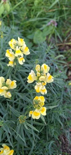
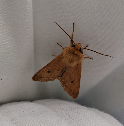
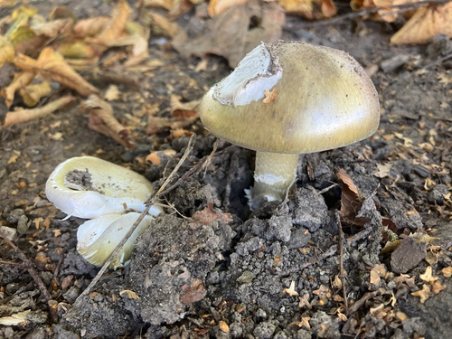
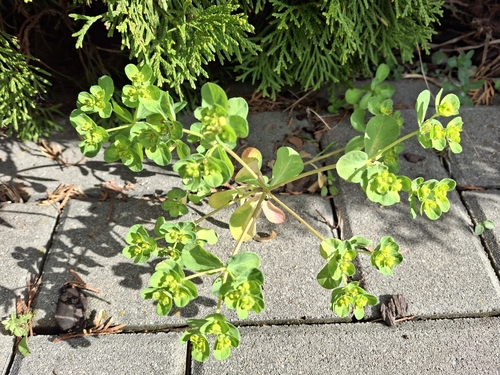
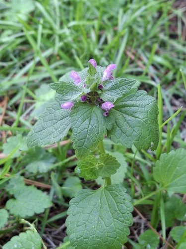
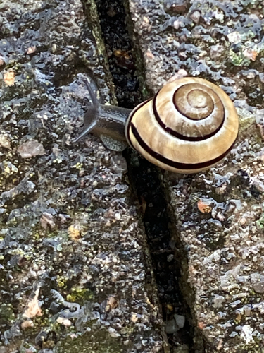
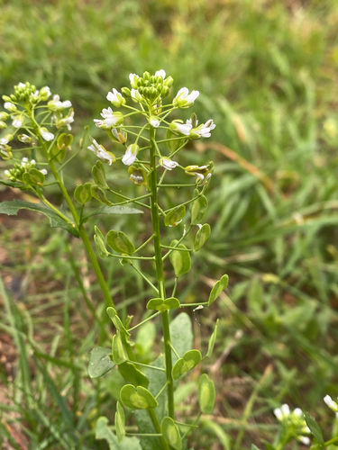
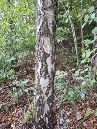
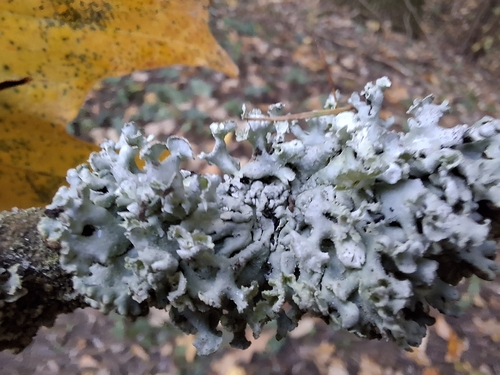
Research-grade observations from iNaturalist (within ~15 mi).
Events
Gallery
Official Identifiers
ČSÚ — Czech Statistical Office
- RÚIAN code
- CZ541168
- Population (Wikidata)
- 1,905
- Wikidata
- Q392544
RÚIAN obec ID via Wikidata P782
Sources
- • Wikipedia
- • Wikidata
- • USGS Earthquake Catalog (global feed)
- • GBIF (Global Biodiversity Information Facility)
- • iNaturalist
- • Open-Meteo / sunrise-sunset.org
- • Wikipedia Pageviews API
- • Wikidata SPARQL (CC0) — population, area, elevation, inception, head of government, Commons image
- • ČSÚ — Czech Statistical Office — RÚIAN obec ID via Wikidata P782