Browse / Czechia / Pardubice / Svitavy
Svitavy
Pardubicetown

Svitavy
Total population
16,610
Demographic figures from Czech Statistical Office. Overview below cites Wikipedia and may reference a different year.
City facts
Sister cities
Facts from Wikidata (CC0).
Overview
Svitavy is a town in Svitavy District in the Pardubice Region of the Czech Republic. It has about 16,000 inhabitants. The town is located on the Svitava River in the Svitavy Uplands.
Read more on WikipediaHistory & geography
History
Svitavy was founded during the colonisation by Premonstratensian monks from nearby Litomyšl around 1150. They built the Church of Saint Giles and founded a settlement called Stará Svitava near an old trade route. During the second wave of colonisation in around 1250, mostly German-speaking settlers came and founded another settlement called Nová Svitava. Svitavy was first mentioned in 1256 when it was taken over by the bishop of Olomouc, Bruno von Schauenburg, and this year is considered to be the year of foundation of the town. In 1389, the town walls were built. They protected the town during the Hussite Wars, however the town was conquered. Svitavy often changed owners. In the 16th century, the town flourished economically. The prosperity was interrupted by the Thirty Years' War. In 1645, the town was looted. In 1781, a large fire destroyed most of the town. During the Napoleonic and Austro-Prussian wars, the town suffered as armies passed through the town. In 1849, the railway was built, which contributed to the development of the town, especially the textile industry. Gradually, over a hundred textile factories were established. Svitavy has retained its industrial character to this day, although the structure has changed significantly. Svitavy was historically a German-speaking town with a Czech minority. At the beginning of the 20th century the town saw tensions between ethnic Czechs and Germans. In October 1938, the town was annexed by Nazi Germany and administered as part of the Reichsgau Sudetenland. After the end of World War II in 1945, the German population was expelled as a result of the Beneš decrees. After 1945, the town was resettled by immigrants from the whole Czechoslovakia.
Geography
Svitavy is located about southeast of Pardubice and north of Brno. It lies in the Svitavy Uplands. The highest point is at above sea level. The Svitava River originates in the municipal territory and then flows through the town proper. Apart from a few small bodies of water, there are two significant fishponds on the Svitava near the town: Svitavský rybník and Rosnička. They are the remains of the original eleven water works around the town. Rosnička was founded in the first half of the 16th century and Svitavský rybník was established in 1953. In addition to fish farming, they form a suburban recreational area.
Excerpted from the corresponding Wikipedia article (CC BY-SA).
Geography
Coordinates & boundaries from the US Census TIGER/Line shapefiles.
Climate
Air quality
Walkability
Amenities nearby
Wildlife & biodiversity
Earthquake history
Photos
Sights & places nearby
Notable people from here

People born within ~10 km, from Wikidata (CC0). Click any name for their Wikipedia article.
Nearby places in Pardubice
- Vendolí2.7 mi away · pop. 880
- Dětřichov4.1 mi away · pop. 311
- Opatov5 mi away · pop. 1,097
- Pohledy5.9 mi away · pop. 105
- Nová Ves6 mi away · pop. 323
- Trstěnice6 mi away · pop. 471
- Mendryka6.1 mi away · pop. 69
- Horní Hynčina6.8 mi away · pop. 229
- Stašov7.2 mi away · pop. 258
- Boršov7.4 mi away · pop. 797
- Pomezí7.5 mi away · pop. 1,058
- Rohozná7.6 mi away · pop. 708
Geography & sun
Nearby airports
Public attention
Books about this place
Recent natural events nearby
Ground air-quality sensors
Recently spotted species
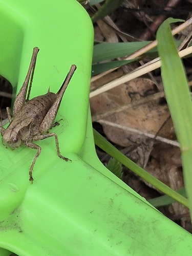
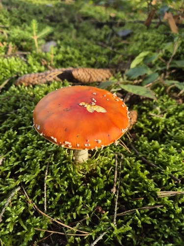
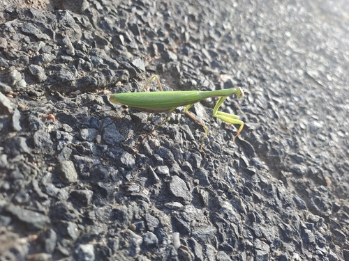
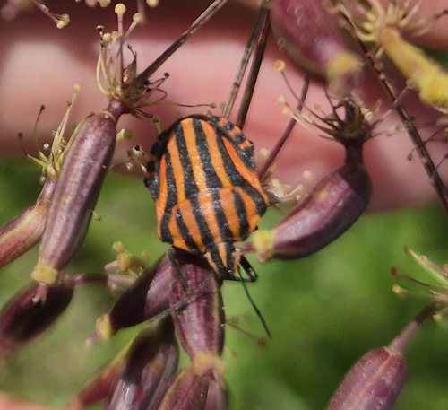
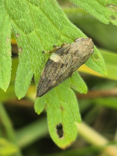
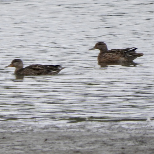
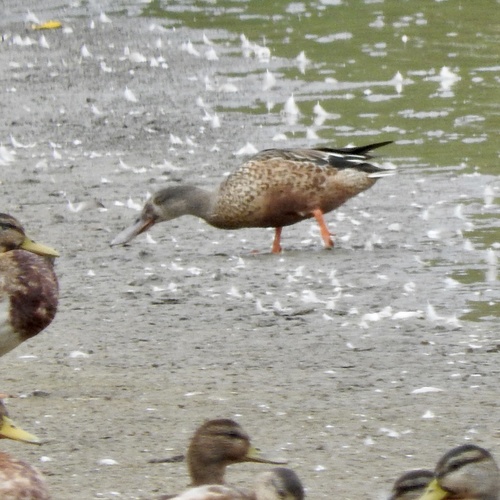
Research-grade observations from iNaturalist (within ~15 mi).
Events
Gallery
Official Identifiers
ČSÚ — Czech Statistical Office
- RÚIAN code
- CZ577731
- Population (Wikidata)
- 16,073
- Wikidata
- Q755698
RÚIAN obec ID via Wikidata P782
Sources
- • Wikipedia
- • Wikidata
- • iNaturalist
- • Wikidata SPARQL (CC0) — population, area, elevation, inception, head of government, Commons image
- • ČSÚ — Czech Statistical Office — RÚIAN obec ID via Wikidata P782