Browse / Czechia / Vysočina / Telč
Telč
Vysočinatown

Telč
Total population
5,337
Demographic figures from Czech Statistical Office. Overview below cites Wikipedia and may reference a different year.
City facts
Overview
Telč is a town in Jihlava District in the Vysočina Region of the Czech Republic. It has about 5,100 inhabitants. The town is located in a hilly landscape in the Křižanov Highlands and is surrounded by a system of fishponds.
Read more on WikipediaHistory & geography
History
According to local legend, the town was founded in 1099; however, the first written mention is from 1335. The Gothic castle, Gothic houses and water fortification were built in the mid-14th century. The development ended during the Hussite Wars. The town was conquered by the Hussites but the castle resisted. Telč slowly recovered and another period of prosperity occurred during the rule of Zachariáš of Hradec. In the middle of the 16th century, he had the medieval castle rebuilt in the Renaissance style. He also had the Gothic houses rebuilt into Renaissance houses with arcades and decorated façades. During the Thirty Years' War, the town was shortly occupied by the Swedish army. The counter-reformation brought the Jesuits to the town, who built the Church of the Name of Jesus in 1667, and founded the Jesuit Latin Grammar School. During the 18th century, the town profited from wealthy townspeople who had statues, fountains, chapels and Marian column built. In 1773, the rights of the Jesuit Order were cancelled. From 1785, Telč was Germanised. During the 19th century, the industry developed. The railway was built in 1898.
Geography
Telč is located about southwest of Jihlava. It lies in the Křižanov Highlands. The highest point is the hill Studnická Ostražka at above sea level, located near Studnice. The stream Telčský potok flows through the town and contributes the Moravian Thaya River in the south. The Moravian Thaya partly forms the eastern border of the municipal territory. The territory of Telč is rich in fishponds. The system of ponds Štěpnický rybník, Ulický rybník and Staroměstský rybník is located in the centre of the town.
Excerpted from the corresponding Wikipedia article (CC BY-SA).
Geography
Coordinates & boundaries from the US Census TIGER/Line shapefiles.
Climate
Air quality
Walkability
Amenities nearby
Wildlife & biodiversity
Earthquake history
Photos
Sights & places nearby
Notable people from here
Nearby places in Vysočina
- Dyjice2 mi away · pop. 69
- Částkovice2.7 mi away · pop. 63
- Janštejn7.4 mi away
- Rácov7.5 mi away · pop. 135
- Lovětín7.5 mi away · pop. 107
- Nová Ves7.9 mi away · pop. 184
- Buková8.6 mi away · pop. 71
- Hory9.1 mi away · pop. 38
- Prostředkovice9.5 mi away · pop. 68
- Horní Vilímeč9.6 mi away · pop. 63
- Bezděčín10 mi away · pop. 99
- Spělov10.2 mi away · pop. 76
Geography & sun
Elevation, sunrise/sunset and daylight from Open-Meteo. Solar climatology from NASA POWER.
Nearby airports
Public attention
Pageview totals from the Wikimedia Pageviews API.
Books about this place
Recent natural events nearby
Ground air-quality sensors
Recently spotted species
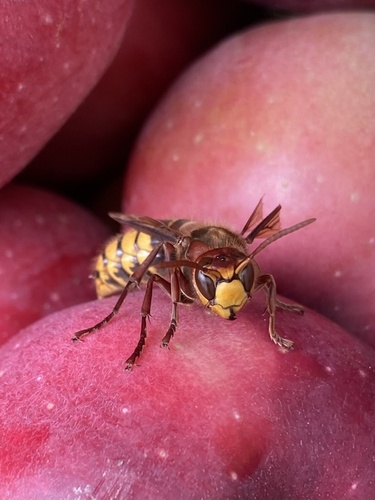
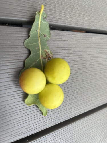
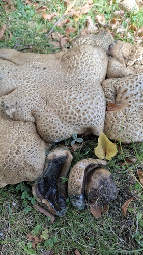
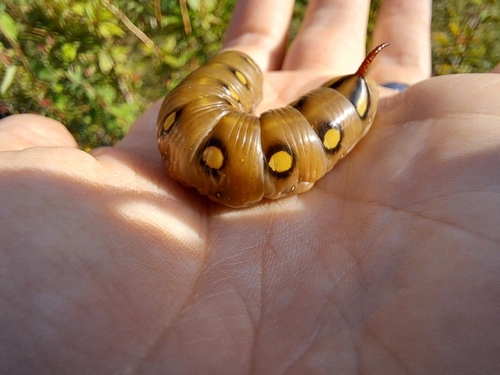
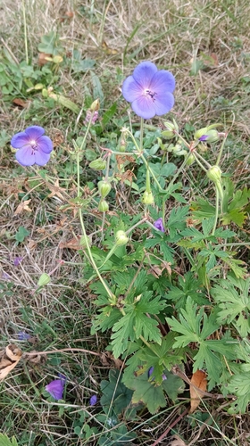
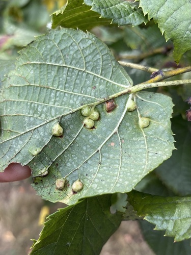
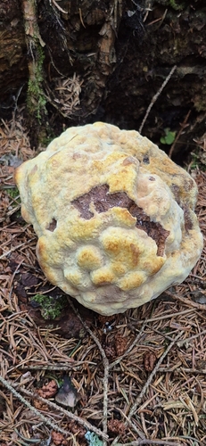
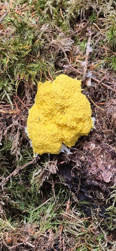
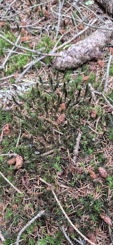
Research-grade observations from iNaturalist (within ~15 mi).
Events
Gallery
Official Identifiers
ČSÚ — Czech Statistical Office
- RÚIAN code
- CZ588024
- Population (Wikidata)
- 5,134
- Wikidata
- Q373804
RÚIAN obec ID via Wikidata P782
Sources
- • Wikipedia
- • iNaturalist
- • Open-Meteo / sunrise-sunset.org
- • Wikipedia Pageviews API
- • Wikidata SPARQL (CC0) — population, area, elevation, inception, head of government, Commons image
- • ČSÚ — Czech Statistical Office — RÚIAN obec ID via Wikidata P782