Browse / Czechia / Moravian-Silesian / Těrlicko
Těrlicko
Moravian-Silesianvillage

Featured view
Těrlicko
Total population
2,890
Coordinates49.75°, 18.48°
Demographic figures from Czech Statistical Office. Overview below cites Wikipedia and may reference a different year.
Loading additional data from public sources…0 / 11
CensusWikipediaWeatherPlacesPeopleEnvironmentHealth & SchoolsRelatedGeography & CultureLive MonitoringEvents & Gallery
0% completeCity facts
Overview
Těrlicko is a municipality in Karviná District in the Moravian-Silesian Region of the Czech Republic. It has about 4,900 inhabitants.
History & geography
Geography
Latitude
49.7520
Longitude
18.4829
Water area
—
Coordinates & boundaries from the US Census TIGER/Line shapefiles.
Climate
Air quality
Walkability
Amenities nearby
Wildlife & biodiversity
Earthquake history
Photos
Sights & places nearby
Notable people from here
A
Anton Johann Krocker
Physician and Botanist 1742-1823, Eminent scholar and chronicler of the vegetation of Silesia
V
Vilém Wünsche
Czech painter (1900-1984)

Wacław Olszak
Polish physician (1868–1939)
J
Josef Mojžíšek
Czech educator and collector of regional songs (1862-1938)
J
Josef Šinovský
Czech writer (1902–1973)
M
Miroslav Kačor
Czech documentator and director (1950–2018)

Ondřej Boleslav Petr
Czech actor and educator (1853–1893)
F
František Vrubel
Czech Roman Catholic priest
J
Josef Hawran
L
Ludvík Sobek

Alfons Kavalec

František Onderek
H
Henrietta Silva Unwerth-Tarouca
(1824-1890)
M
Miroslav Gilwann
Czechoslovak architect
L
Ludmila Holková
O
Olga Tlučková
People born within ~10 km, from Wikidata (CC0). Click any name for their Wikipedia article.
Nearby places in Moravian-Silesian
- Dolní Těrlicko2.1 mi away · pop. 407
- Žermanice2.1 mi away · pop. 215
- Horní Bludovice2.1 mi away · pop. 1,564
- Hradiště2.3 mi away · pop. 829
- Stanislavice2.8 mi away · pop. 517
- Havířov2.8 mi away · pop. 69,084
- Dolní Domaslavice2.9 mi away · pop. 920
- Lučina2.9 mi away · pop. 1,139
- Albrechtice3 mi away · pop. 4,071
- Horní Suchá3.2 mi away · pop. 4,370
- Koňákov3.2 mi away · pop. 228
- Kaňovice3.9 mi away · pop. 192
Geography & sun
Avg solar (kWh/m²/day)
3.01
Annual solar (kWh/m²)
1,100
Elevation, sunrise/sunset and daylight from Open-Meteo. Solar climatology from NASA POWER.
Nearby airports
Public attention
Wikipedia views (last 30 days)
113
Avg daily Wikipedia views
4
Attention level
Obscure
Pageview totals from the Wikimedia Pageviews API.
Books about this place
Recent natural events nearby
Ground air-quality sensors
Recently spotted species
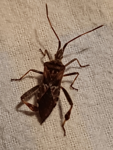
Western Conifer Seed Bug
Leptoglossus occidentalis
Seen 2026-09-24
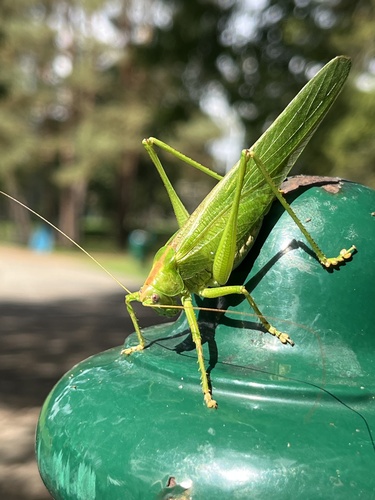
Great Green Bush-cricket
Tettigonia viridissima
Seen 2026-09-23
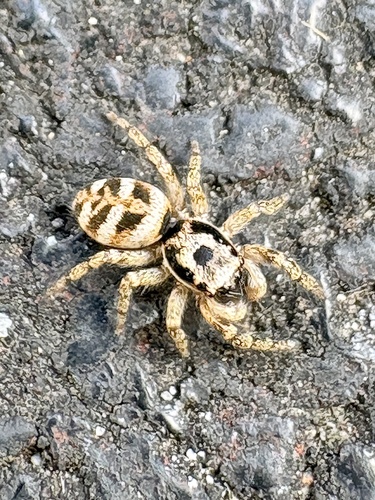
Zebra Jumping Spider
Salticus scenicus
Seen 2026-09-20
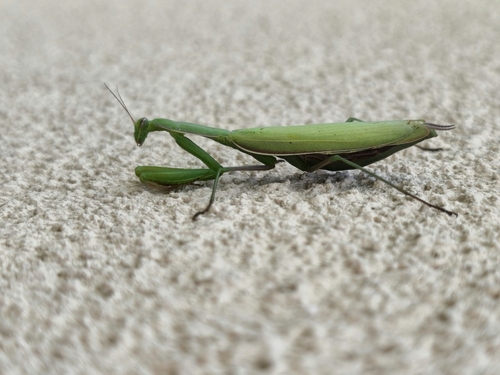
European Mantis
Mantis religiosa
Seen 2026-09-20
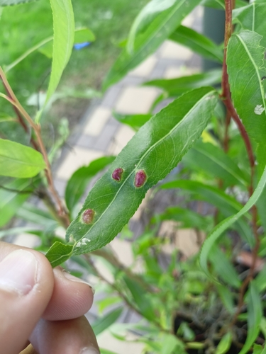
Willow Redgall Sawfly
Euura proxima
Seen 2026-09-20
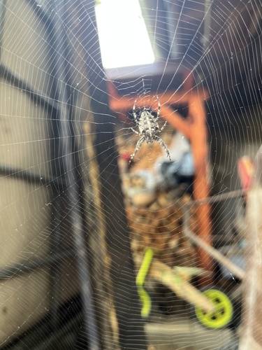
Cross Orbweaver
Araneus diadematus
Seen 2026-09-20
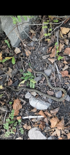
Tessellated Water Snake
Natrix tessellata
Seen 2026-09-18
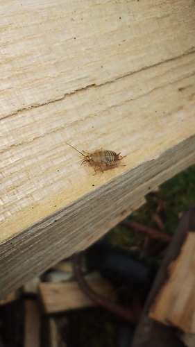
Dusky Cockroach
Ectobius lapponicus
Seen 2026-09-17
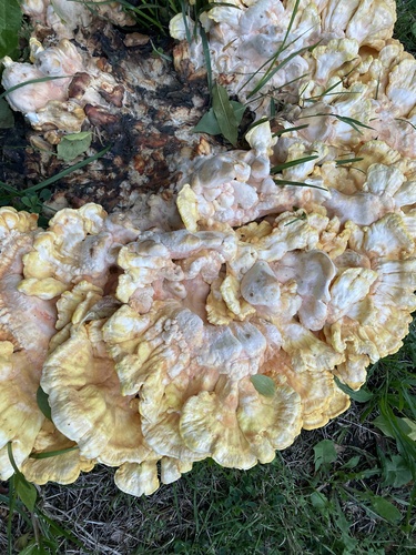
chicken of the woods
Laetiporus sulphureus
Seen 2026-09-16
Research-grade observations from iNaturalist (within ~15 mi).
Events
Gallery
Official Identifiers
ČSÚ — Czech Statistical Office
- RÚIAN code
- CZ599158
- Population (Wikidata)
- 4,877
- Wikidata
- Q1575784
RÚIAN obec ID via Wikidata P782
Sources
- • Wikipedia
- • Wikidata
- • iNaturalist
- • Open-Meteo / sunrise-sunset.org
- • Wikipedia Pageviews API
- • Wikidata SPARQL (CC0) — population, area, elevation, inception, head of government, Commons image
- • ČSÚ — Czech Statistical Office — RÚIAN obec ID via Wikidata P782