Browse / Czechia / Central Bohemian / Týnec nad Sázavou
Týnec nad Sázavou
Central Bohemiantown

Týnec nad Sázavou
Total population
5,681
Demographic figures from Czech Statistical Office. Overview below cites Wikipedia and may reference a different year.
City facts
Facts from Wikidata (CC0).
Overview
Týnec nad Sázavou is a town in Benešov District in the Central Bohemian Region of the Czech Republic. It has about 5,700 inhabitants. The town is located on the Sázava River in the Benešov Uplands. The main landmark of the town is the Týnec nad Sázavou Castle.
Read more on WikipediaHistory & geography
History
The first written mention of Týnec nad Sázavou is from 1318, when Oldřich of Týnec was documented as the owner of the local castle. The oldest part of the castle is a Romanesque rotunda, which indicates that the castle was built around 1200. In 1622, after the Battle of White Mountain, the town was acquired by Albrecht von Wallenstein. During his rule, the castle was burned down and the town was devastated. The castle was partially repaired, but in 1654, it burned down for the second time and became a ruin. In 1785, the Konopiště estate with Týnec was acquired by Count František Josef of Vrtba, who restored importance to the neglected town. He founded a factory for earthenware here in 1791, and had the Týnec Castle with its Romanesque rotunda repaired. After his death, the Konopiště estate was inherited by the Lobkowicz family.
Geography
Týnec nad Sázavou is located about northeast of Benešov and south of Prague. It lies in the Benešov Uplands. The highest point is the hill Čížov at above sea level. The Sázava River flows through the town. There is a set of fishponds in the southern part of the municipal territory, supplied by the stream Janovický potok (a tributary of the Sázava).
Excerpted from the corresponding Wikipedia article (CC BY-SA).
Geography
Coordinates & boundaries from the US Census TIGER/Line shapefiles.
Climate
Air quality
Walkability
Amenities nearby
Wildlife & biodiversity
Most-observed species
- Eurasian BlackbirdTurdus merula Linnaeus, 1758 · Aves2,089
- Great TitParus major Linnaeus, 1758 · Aves1,972
- Eurasian Blue TitCyanistes caeruleus (Linnaeus, 1758) · Aves1,550
- Common ChaffinchFringilla coelebs Linnaeus, 1758 · Aves1,281
- Great Spotted WoodpeckerDendrocopos major (Linnaeus, 1758) · Aves1,255
- Common Wood-PigeonColumba palumbus Linnaeus, 1758 · Aves1,177
- European RobinErithacus rubecula (Linnaeus, 1758) · Aves1,064
- Eurasian NuthatchSitta europaea Linnaeus, 1758 · Aves1,043
Citizen-science & research observations from the Global Biodiversity Information Facility (GBIF).
Earthquake history
Most recent
- M 2.5 — 2007-01-134 km SSW of Krásná Hora nad Vltavou, Czechia
Events from the USGS Earthquake Catalog (global) (FDSN Event Web Service).
Photos
Sights & places nearby
Notable people from here


People born within ~10 km, from Wikidata (CC0). Click any name for their Wikipedia article.
Nearby places in Central Bohemian
- Pecerady0.9 mi away · pop. 433
- Krusičany2 mi away · pop. 154
- Úročnice2.6 mi away · pop. 227
- Čakovice2.7 mi away · pop. 127
- Prosečnice3.2 mi away · pop. 184
- Babice3.5 mi away · pop. 99
- Kamenný Újezdec3.6 mi away · pop. 261
- Řehenice3.7 mi away · pop. 72
- Racek3.9 mi away · pop. 99
- Ládví4.3 mi away · pop. 310
- Přibyšice4.6 mi away · pop. 55
- Lojovice5.2 mi away · pop. 79
Geography & sun
Elevation, sunrise/sunset and daylight from Open-Meteo. Solar climatology from NASA POWER.
Nearby airports
Public attention
Pageview totals from the Wikimedia Pageviews API.
Books about this place
Recent natural events nearby
Ground air-quality sensors
Recently spotted species
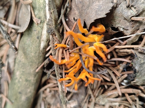
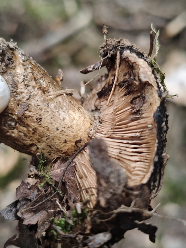
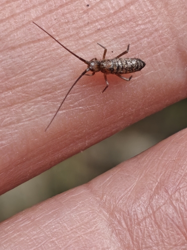
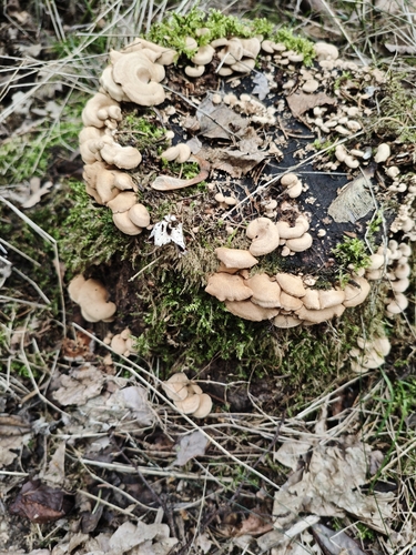
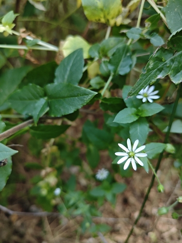
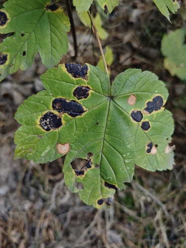
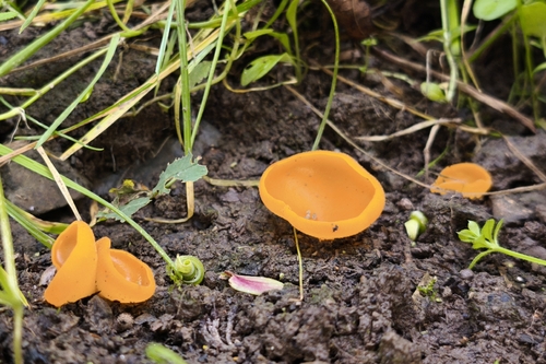
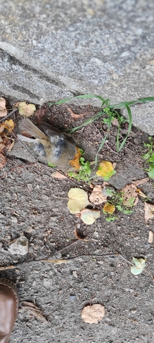
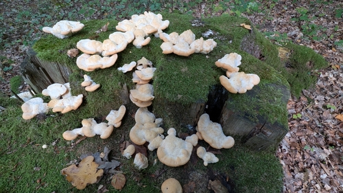
Research-grade observations from iNaturalist (within ~15 mi).
Events
Gallery
Geotagged photos within ~6 miles of Týnec nad Sázavou, from Wikimedia Commons contributors.
 0 mi
0 mi.jpg) 0 mi
0 mi 0 mi
0 mi 0 mi
0 mi 0 mi
0 mi 0 mi
0 mi 0.1 mi
 0.1 mi
 0.1 mi
 0.1 mi
 0.1 mi
 0.1 mi
.jpg) 0.1 mi
0.1 mi 0.1 mi
 0.1 mi
 0.1 mi
 0.1 mi
 0.1 mi
 0.1 mi
 0.1 mi
 0.1 mi
 0.1 mi
 0.1 mi
 0.1 mi
Photos via Wikimedia Commons — see each image page for license & attribution.
Official Identifiers
ČSÚ — Czech Statistical Office
- RÚIAN code
- CZ530841
- Population (Wikidata)
- 5,752
- Wikidata
- Q1852569
RÚIAN obec ID via Wikidata P782
Sources
- • Wikipedia
- • Wikimedia Commons
- • Wikidata
- • USGS Earthquake Catalog (global feed)
- • GBIF (Global Biodiversity Information Facility)
- • iNaturalist
- • Open-Meteo / sunrise-sunset.org
- • Wikipedia Pageviews API
- • Wikidata SPARQL (CC0) — population, area, elevation, inception, head of government, Commons image
- • ČSÚ — Czech Statistical Office — RÚIAN obec ID via Wikidata P782