Browse / Czechia / Olomouc / Uničov
Uničov
Olomouctown

Uničov
Total population
11,077
Demographic figures from Czech Statistical Office. Overview below cites Wikipedia and may reference a different year.
City facts
Sister cities
Facts from Wikidata (CC0).
Overview
Uničov is a town in Olomouc District in the Olomouc Region of the Czech Republic. It has about 11,000 inhabitants. The town is located in the Upper Morava Valley on the Oskava River. It is known for UNEX, a heavy engineering company.
Read more on WikipediaHistory & geography
History
Uničov is one of the seven royal Moravian towns. It was founded around 1213 by the Margrave Vladislaus III, the brother of King Ottokar I of Bohemia. It received Magdeburg rights in 1223 and was granted further privileges by Ottokar's successor, King Wenceslaus I, in 1234. The town was to become a centre of ore and precious metal mining, but the deposits were not so plentiful. The town therefore reoriented itself to trade and crafts, and in 1327 it was fortified. Until the Hussite Wars, the town administration of Uničov was controlled by German colonisers. In 1422, Hussite forces under the command of Sigismund Korybut occupied the town and got rid of the German administration. After the accession of the Hussite king George of Poděbrady in 1458, the town became a centre of the new confession until it fell to his rival Matthias Corvinus in 1479. A part of the Habsburg monarchy from 1526, Uničov prospered until the Battle of White Mountain in 1620. For participating in the Bohemian rebellion, the town was divested of its privileges by Emperor Ferdinand II and made a subject of the Austrian House of Liechtenstein, a verdict that however was overruled a few years later. The citizens nevertheless suffered severely in the Thirty Years' War, when in 1642 the town was occupied by Swedish troops. In 1643, a large fire further damaged Uničov. The Swedes did not leave the town until 1650. Uničov recovered only slowly from the consequences of the war and had economic problems. It became a small rural town. After the Seven Years' War, Emperor Joseph II met here with the Prussian king Frederick the Great in 1770, a rapprochement of the former enemies that would lead to the First Partition of Poland two years later. After World War II, the remaining German-speaking population was…
Geography
Uničov is located about northwest of Olomouc. It lies in a flat agricultural landscape of the Upper Morava Valley lowland. The Oskava River flows through the town. The western tip of the municipal territory extends into the Litovelské Pomoraví Protected Landscape Area.
Excerpted from the corresponding Wikipedia article (CC BY-SA).
Geography
Coordinates & boundaries from the US Census TIGER/Line shapefiles.
Climate
Air quality
Walkability
Amenities nearby
Wildlife & biodiversity
Earthquake history
Photos
Sights & places nearby
Notable people from here


People born within ~10 km, from Wikidata (CC0). Click any name for their Wikipedia article.
Geography & sun
Nearby airports
Public attention
Books about this place
Recent natural events nearby
Ground air-quality sensors
Recently spotted species


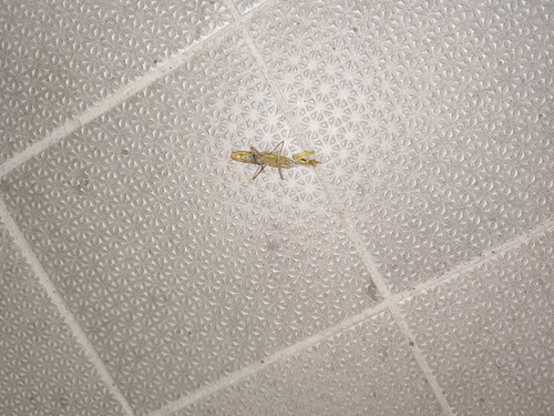



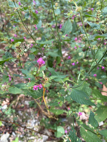

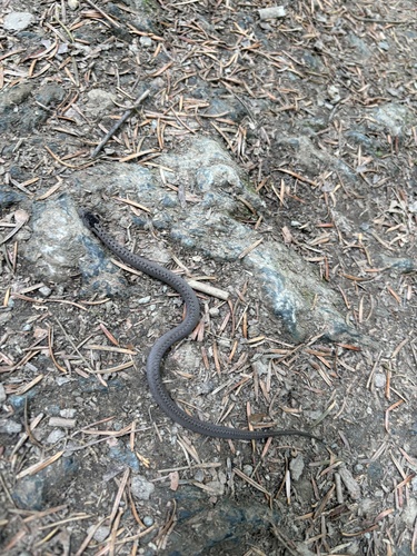
Research-grade observations from iNaturalist (within ~15 mi).
Events
Gallery
Official Identifiers
ČSÚ — Czech Statistical Office
- RÚIAN code
- CZ505587
- Population (Wikidata)
- 11,237
- Wikidata
- Q682361
RÚIAN obec ID via Wikidata P782
Sources
- • Wikipedia
- • Wikidata
- • iNaturalist
- • Wikidata SPARQL (CC0) — population, area, elevation, inception, head of government, Commons image
- • ČSÚ — Czech Statistical Office — RÚIAN obec ID via Wikidata P782