Browse / Czechia / Olomouc / Úsov
Úsov
Olomouctown

Úsov
Total population
1,122
Demographic figures from Czech Statistical Office. Overview below cites Wikipedia and may reference a different year.
City facts
Facts from Wikidata (CC0).
Overview
Úsov is a town in Šumperk District in the Olomouc Region of the Czech Republic. It has about 1,200 inhabitants.
Read more on WikipediaHistory & geography
History
The first written mention of Úsov is from 1260. The castle was built around 1250. Before 1487 the Lords of Vlašim modified the castle. In the 16th century, Úsov was in the possession of the lords of Boskovice, and in 1597 it was acquired by the Liechtenstein family. The Liechtensteins owned the castle until 1945. The castle was damaged during the Swedish occupation in 1643. During the rule by Prince Hans-Adam I of Liechtenstein, in 1692–1699, it was reconstructed and partially rebuilt into a large three-storey Baroque residence, designed by Domenico Martinelli. Presence of the Jews in the town was first documented in 1564. The Jewish quarter was established in 1589. In 1609, the community warranted its first rabbi. However, in 1643, the developing community was affected by the invasion of Swedish troops, which caused many loss of life. Around 1645, the cemetery was established. The synagogue destroyed during the war was replaced by a new one in 1688. In the late 17th century, the community lived under the protection of Prince of Liechtenstein, and in the 1700s, the number of families reached 110. As a result of antisemitic tensions, a conflict ensued in 1721 and the synagogue had to be demolished in 1722.
Geography
Úsov is located about south of Šumperk and northwest of Olomouc. It lies in the Hanušovice Highlands. The highest point, located in the territory's exclave, is at above sea level. The Doubravka Stream flows through the town. The fishpond Polický rybník is situated northwest of the town.
Excerpted from the corresponding Wikipedia article (CC BY-SA).
Geography
Coordinates & boundaries from the US Census TIGER/Line shapefiles.
Climate
Air quality
Walkability
Amenities nearby
Wildlife & biodiversity
Earthquake history
Photos
Sights & places nearby
Notable people from here
Nearby places in Olomouc
- Zadní Újezd1.6 mi away · pop. 104
- Třeština2.1 mi away · pop. 357
- Dědinka2.2 mi away · pop. 56
- Pískov2.3 mi away · pop. 198
- Králová2.4 mi away · pop. 276
- Medlov2.4 mi away · pop. 984
- Veleboř2.6 mi away · pop. 122
- Bezděkov u Úsova2.7 mi away · pop. 74
- Janoslavice3.6 mi away · pop. 121
- Bohuslavice3.7 mi away · pop. 470
- Doubravice3.9 mi away · pop. 146
- Nová Hradečná3.9 mi away · pop. 762
Geography & sun
Elevation, sunrise/sunset and daylight from Open-Meteo. Solar climatology from NASA POWER.
Nearby airports
Public attention
Pageview totals from the Wikimedia Pageviews API.
Books about this place
Recent natural events nearby
Ground air-quality sensors
Recently spotted species
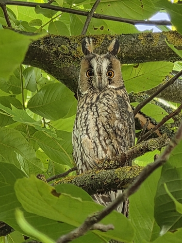
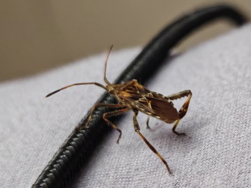
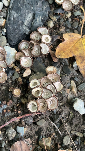
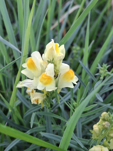
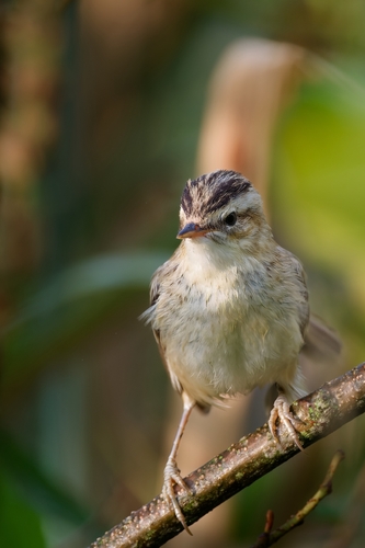
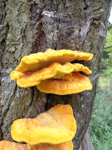
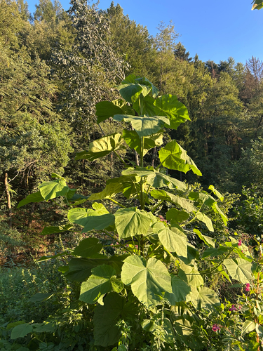
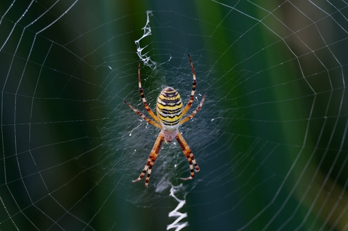
Research-grade observations from iNaturalist (within ~15 mi).
Events
Gallery
Official Identifiers
ČSÚ — Czech Statistical Office
- RÚIAN code
- CZ541222
- Population (Wikidata)
- 1,164
- Wikidata
- Q330302
RÚIAN obec ID via Wikidata P782
Sources
- • Wikipedia
- • Wikidata
- • iNaturalist
- • Open-Meteo / sunrise-sunset.org
- • Wikipedia Pageviews API
- • ČSÚ — Czech Statistical Office — RÚIAN obec ID via Wikidata P782