Browse / Czechia / South Bohemian / Včelná
Včelná
South Bohemianvillage

Včelná
Total population
1,471
Air quality index
Demographic figures from Czech Statistical Office. Overview below cites Wikipedia and may reference a different year.
City facts
Facts from Wikidata (CC0).
Overview
Včelná is a municipality and village in České Budějovice District in the South Bohemian Region of the Czech Republic. It has about 2,300 inhabitants.
Read more on WikipediaHistory & geography
History
Včelná was spontaneously founded in 1784 by the newly built Imperial road from České Budějovice to Linz. Until 1930, Včelná was a municipal part of Poříčí (today a part of Boršov nad Vltavou). From 1930, it has been a separate municipality.
Geography
Včelná is located about south of České Budějovice. It lies on the border between the České Budějovice Basin and Gratzen Foothills. The highest point is at above sea level.
Excerpted from the corresponding Wikipedia article (CC BY-SA).
Geography
Coordinates & boundaries from the US Census TIGER/Line shapefiles.
Climate
Air quality
Current readings from Open-Meteo Air Quality API (Copernicus CAMS European reanalysis).
Walkability
Amenities nearby
Wildlife & biodiversity
Most-observed species
- Great TitParus major Linnaeus, 1758 · Aves3,738
- Eurasian BlackbirdTurdus merula Linnaeus, 1758 · Aves3,566
- Eurasian Blue TitCyanistes caeruleus (Linnaeus, 1758) · Aves3,471
- MallardAnas platyrhynchos Linnaeus, 1758 · Aves3,269
- Common Wood-PigeonColumba palumbus Linnaeus, 1758 · Aves2,828
- Common ChiffchaffPhylloscopus collybita (Vieillot, 1817) · Aves2,815
- Black-headed GullChroicocephalus ridibundus (Linnaeus, 1766) · Aves2,586
- Gray/Purple HeronArdea cinerea Linnaeus, 1758 · Aves2,578
Citizen-science & research observations from the Global Biodiversity Information Facility (GBIF).
Earthquake history
Most recent
- M 2.5 — 2007-01-134 km SSW of Krásná Hora nad Vltavou, Czechia
Events from the USGS Earthquake Catalog (global) (FDSN Event Web Service).
Photos
Sights & places nearby
Notable people from here


People born within ~10 km, from Wikidata (CC0). Click any name for their Wikipedia article.
Nearby places in South Bohemian
- Šindlovy Dvory2.9 mi away · pop. 321
- Kosov3.4 mi away · pop. 59
- Nová Ves3.4 mi away · pop. 259
- Vrábče3.5 mi away · pop. 313
- Opalice3.5 mi away · pop. 20
- Dolní Stropnice4 mi away · pop. 64
- Stará Pohůrka4 mi away · pop. 249
- Krasejovka4.2 mi away · pop. 106
- Zavadilka4.7 mi away
- Zborov5.1 mi away · pop. 176
- Haklovy Dvory5.3 mi away · pop. 139
- Třebotovice5.3 mi away
Geography & sun
Elevation, sunrise/sunset and daylight from Open-Meteo. Solar climatology from NASA POWER.
Nearby airports
Public attention
Pageview totals from the Wikimedia Pageviews API.
Books about this place
Recent natural events nearby
Ground air-quality sensors
Recently spotted species
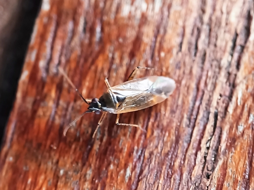
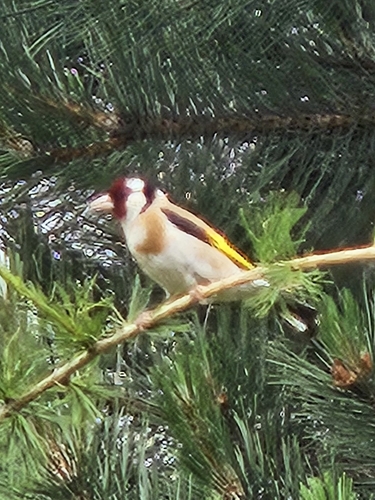
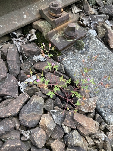
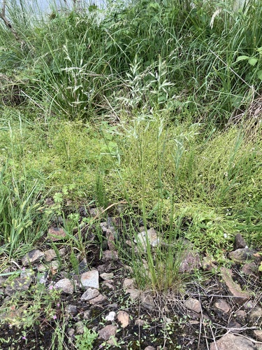
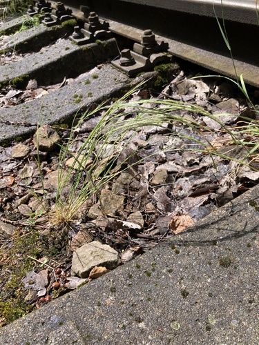
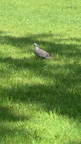
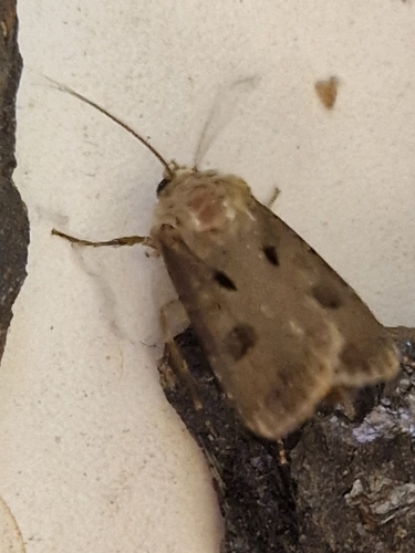
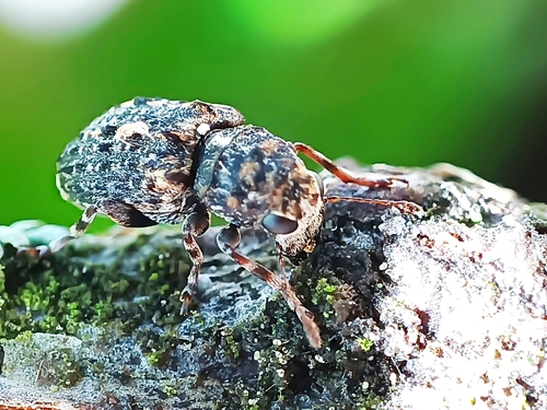
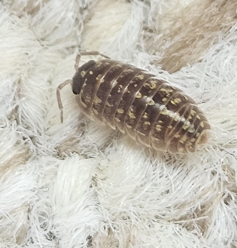
Research-grade observations from iNaturalist (within ~15 mi).
Events
Gallery
Geotagged photos within ~6 miles of Včelná, from Wikimedia Commons contributors.
 0 mi
0 mi 0 mi
0 mi 0 mi
0 mi 0 mi
0 mi 0 mi
0 mi 0.1 mi
 0.1 mi
 0.2 mi
 0.3 mi
 0.3 mi
 0.3 mi
.jpg) 0.4 mi
0.4 mi.jpg) 0.4 mi
0.4 mi 0.4 mi
 0.4 mi
 0.4 mi
 0.4 mi
 0.5 mi
 0.5 mi
 0.5 mi
 0.5 mi
 0.5 mi
 0.5 mi
 0.5 mi
Photos via Wikimedia Commons — see each image page for license & attribution.
Official Identifiers
ČSÚ — Czech Statistical Office
- RÚIAN code
- CZ545228
- Population (Wikidata)
- 2,274
- Wikidata
- Q2296231
RÚIAN obec ID via Wikidata P782
Sources
- • Wikipedia
- • Wikimedia Commons
- • Wikidata
- • Open-Meteo Air Quality (CAMS)
- • USGS Earthquake Catalog (global feed)
- • GBIF (Global Biodiversity Information Facility)
- • iNaturalist
- • Open-Elevation
- • Open-Meteo / sunrise-sunset.org
- • Wikipedia Pageviews API
- • Wikidata SPARQL (CC0) — population, area, elevation, inception, head of government, Commons image
- • ČSÚ — Czech Statistical Office — RÚIAN obec ID via Wikidata P782