Browse / Czechia / Ústí nad Labem / Vejprty
Vejprty
Ústí nad Labemtown

Vejprty
Total population
3,268
Demographic figures from Czech Statistical Office. Overview below cites Wikipedia and may reference a different year.
City facts
Facts from Wikidata (CC0).
Overview
Vejprty is a town in Chomutov District in the Ústí nad Labem Region of the Czech Republic. It has about 2,800 inhabitants. The town is located on the Polana Stream in the Ore Mountains, along the border with Germany. Before World War II, it was a large town with more than 12,000 inhabitants.
Read more on WikipediaHistory & geography
History
The first written mention of Vejprty is from 1506. In 1550, silver ore was discovered in the area. The mining settlement of Neugeschrei (today a locality of Vejprty called Nové Zvolání) was established near the newly created adit. In 1607, Emperor Rudolf II allowed all the miners and craftsmen settled here to deal freely with their property. Vejprty was promoted to a royal mining town in 1617. Vejprty was badly damaged during the Thirty Years' War by the army of Johan Banér, and the mines were flooded. In 1688, mining was resumed and the town began to flourish again. In the first half of the 18th century, however, profitability began to decline, and mining stopped in 1751. Although mining resumed briefly in the 19th century, it ended for good in 1845. The livelihood of the inhabitants was thus gradually reoriented to the manufacture of rifles and to lacemaking. Rapid development took place in the second half of the 19th century. It was helped by the establishment of the Chomutov–Vejprty railway, which was put into operation in 1872.
Geography
Vejprty is located about west of Chomutov and southeast of Karlovy Vary. It lies in the Ore Mountains. The highest point is below the top of the mountain Vlčí kopec, at above sea level. The territory stretches along the border with Germany, from which it is separated by the Polana Stream. It borders the German municipalities of Bärenstein and Oberwiesenthal.
Excerpted from the corresponding Wikipedia article (CC BY-SA).
Geography
Coordinates & boundaries from the US Census TIGER/Line shapefiles.
Climate
Air quality
Walkability
Amenities nearby
Wildlife & biodiversity
Earthquake history
Photos
Sights & places nearby
Notable people from here
Geography & sun
Elevation, sunrise/sunset and daylight from Open-Meteo. Solar climatology from NASA POWER.
Nearby airports
Public attention
Pageview totals from the Wikimedia Pageviews API.
Books about this place
Recent natural events nearby
Ground air-quality sensors
Recently spotted species
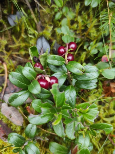
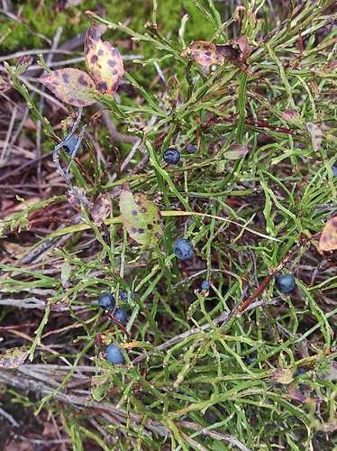

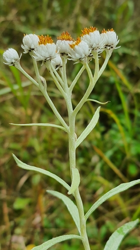
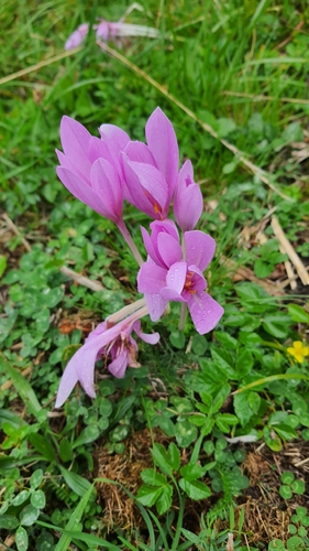
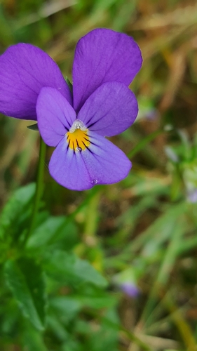
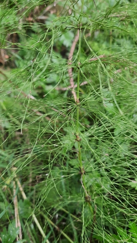
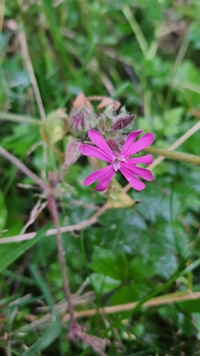
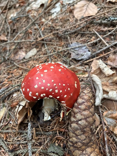
Research-grade observations from iNaturalist (within ~15 mi).
Events
Gallery
Official Identifiers
ČSÚ — Czech Statistical Office
- RÚIAN code
- CZ563404
- Population (Wikidata)
- 2,766
- Wikidata
- Q1751518
RÚIAN obec ID via Wikidata P782
Sources
- • Wikipedia
- • Wikidata
- • iNaturalist
- • Open-Meteo / sunrise-sunset.org
- • Wikipedia Pageviews API
- • Wikidata SPARQL (CC0) — population, area, elevation, inception, head of government, Commons image
- • ČSÚ — Czech Statistical Office — RÚIAN obec ID via Wikidata P782