Browse / Czechia / Olomouc / Vidnava
Vidnava
Olomouctown

Vidnava
Total population
1,424
Demographic figures from Czech Statistical Office. Overview below cites Wikipedia and may reference a different year.
City facts
Facts from Wikidata (CC0).
Overview
Vidnava is a town in Jeseník District in the Olomouc Region of the Czech Republic. It has about 1,200 inhabitants. The historic town centre is well preserved and is protected as an urban monument zone.
Read more on WikipediaHistory & geography
History
The first written mention of Vidnava is from 1291. At the end of the 14th century, the area was colonised by Germans. The town prospered until the Hussite Wars, during which in 1428 it was conquered and burned. Vidnava did not recover until the early 16th century, when there was a boom in crafts. The town was again destroyed by a large fire in 1574, and then during the Thirty Years' War, when it was conquered by the Swedish army several times. and the E214 and E780 forced labour subcamps of the Stalag VIII-B/344 POW camp in Vidnava. Four POWs who were killed by the Germans during escape attempts were buried at the Catholic cemetery in Vidnava. For many prisoners of war, Vidnava was a stopping place on The March during the final months of World War II in Europe. A memorial dedicated to 19 victims of The March is on the local cemetery.
Geography
Vidnava is located about north of Jeseník and north of Olomouc, on the border with Poland. It lies in the Vidnava Lowland, on the right bank of the Vidnávka River. The highest point is at above sea level. In the northern part of the municipal territory is the Vidnavské mokřiny Nature Reserve. It has an area of . The reason for the protection are peat and wetland meadows with endangered communities of Carex rostrata and Carex lasiocarpa, and other endangered plants and animals, especially the dusky large blue.
Excerpted from the corresponding Wikipedia article (CC BY-SA).
Geography
Coordinates & boundaries from the US Census TIGER/Line shapefiles.
Climate
Air quality
Walkability
Amenities nearby
Wildlife & biodiversity
Earthquake history
Photos
Sights & places nearby
Notable people from here


People born within ~10 km, from Wikidata (CC0). Click any name for their Wikipedia article.
Nearby places in Olomouc
- Velká Kraš1.9 mi away · pop. 907
- Horní Heřmanice3.1 mi away · pop. 55
- Stará Červená Voda3.1 mi away · pop. 411
- Nová Červená Voda4.2 mi away · pop. 243
- Tomíkovice4.5 mi away · pop. 246
- Bernartice4.9 mi away · pop. 797
- Buková5 mi away · pop. 59
- Žulová5.8 mi away · pop. 1,124
- Supíkovice6 mi away · pop. 671
- Vlčice6.5 mi away · pop. 373
- Dolní Fořt6.6 mi away · pop. 57
- Uhelná7 mi away · pop. 400
Geography & sun
Elevation, sunrise/sunset and daylight from Open-Meteo. Solar climatology from NASA POWER.
Nearby airports
Public attention
Pageview totals from the Wikimedia Pageviews API.
Books about this place
Recent natural events nearby
Ground air-quality sensors
Recently spotted species
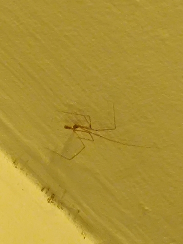
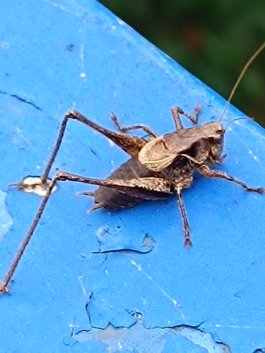
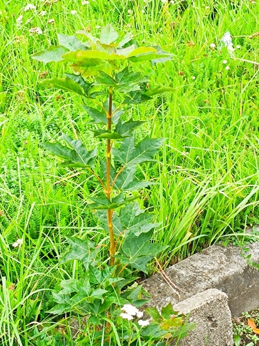
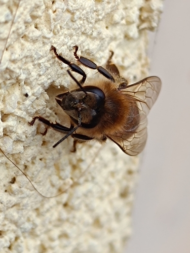
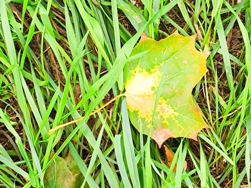
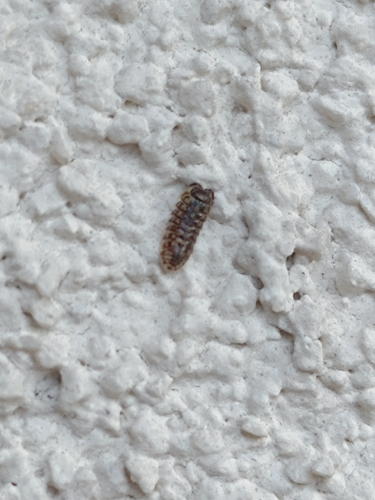
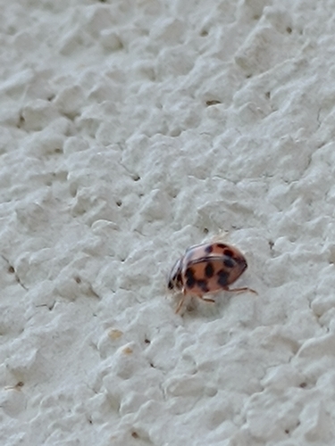
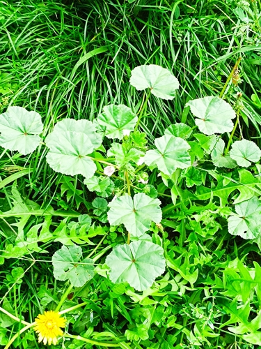
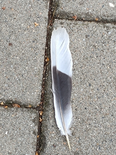
Research-grade observations from iNaturalist (within ~15 mi).
Events
Gallery
Official Identifiers
ČSÚ — Czech Statistical Office
- RÚIAN code
- CZ541303
- Population (Wikidata)
- 1,190
- Wikidata
- Q1025162
RÚIAN obec ID via Wikidata P782
Sources
- • Wikipedia
- • Wikidata
- • iNaturalist
- • Open-Meteo / sunrise-sunset.org
- • Wikipedia Pageviews API
- • Wikidata SPARQL (CC0) — population, area, elevation, inception, head of government, Commons image
- • ČSÚ — Czech Statistical Office — RÚIAN obec ID via Wikidata P782