Browse / Czechia / South Bohemian / Vimperk
Vimperk
South Bohemiantown

Featured view
Vimperk
Total population
7,383
Coordinates49.05°, 13.77°
Demographic figures from Czech Statistical Office. Overview below cites Wikipedia and may reference a different year.
Loading additional data from public sources…0 / 11
CensusWikipediaWeatherPlacesPeopleEnvironmentHealth & SchoolsRelatedGeography & CultureLive MonitoringEvents & Gallery
0% completeCity facts
Overview
Vimperk is a town in Prachatice District in the South Bohemian Region of the Czech Republic. It has about 7,300 inhabitants. The historic town centre is well preserved and is protected as an urban monument zone.
History & geography
Geography
Latitude
49.0527
Longitude
13.7742
Water area
—
Coordinates & boundaries from the US Census TIGER/Line shapefiles.
Climate
Air quality
Walkability
Amenities nearby
Wildlife & biodiversity
Earthquake history
Photos
Sights & places nearby
Notable people from here
A
Andreas Hartauer
Austrian lyricist (1839–1915)
R
Rudolf Maros
Hungarian composer (1917–1982)
J
Jan Šejna
Czech politician (1927-1997)

Josef Bartík
Czechoslovak legioneer and general (1897–1968)

Otto Herbert Hajek
German sculptor (1927–2005)

Wilhelm Kralik
Austrian entrepreneur (1807–1877)

František Kahuda
Czech politician and educator

Alois Zucker
(1842-1906)

Jan Evangelista Chadt-Ševětínský
Czech historian, forester and science writer (1860-1925)

Václav Kojzar
Czech warrior (1916-2006)

František Foltýn
Czech painter (1891-1976)

Jan Cais
Czech roman catholic priest (1878-1950)
S
Stanislav Kovář
Czech painter (1931-2017)
F
František Martan

František Blahovec
Czech member of Czech council and roman catholic priest
J
Josef Hanzal
Czech historian and archivist
People born within ~10 km, from Wikidata (CC0). Click any name for their Wikipedia article.
Nearby places in South Bohemian
- Hrabice1 mi away · pop. 183
- Buk3.4 mi away · pop. 229
- Bohumilice3.6 mi away · pop. 322
- Bošice3.9 mi away · pop. 121
- Budilov4.3 mi away · pop. 89
- Nový Svět5.7 mi away · pop. 36
- Benešova Hora5.9 mi away · pop. 164
- Krušlov6.5 mi away · pop. 60
- Nahořany6.6 mi away · pop. 75
- Horní Vltavice6.8 mi away · pop. 376
- Borová Lada6.8 mi away · pop. 234
- Zadov6.8 mi away
Geography & sun
Nearby airports
Public attention
Books about this place
Recent natural events nearby
Ground air-quality sensors
Recently spotted species
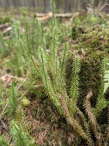
interrupted clubmoss
Spinulum annotinum
Seen 2026-09-12
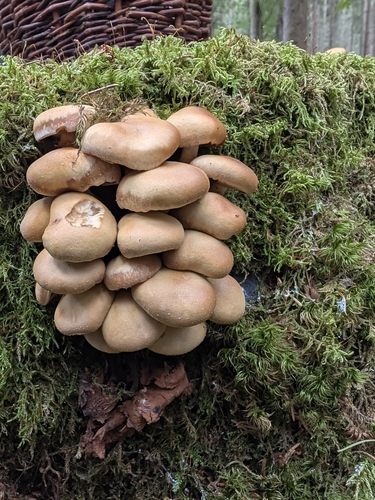
Sheathed Woodtuft
Kuehneromyces mutabilis
Seen 2026-09-12
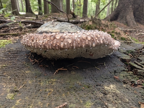
Red-banded Polypore
Fomitopsis pinicola
Seen 2026-09-12
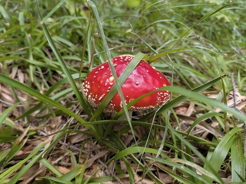
Fly Agaric
Amanita muscaria
Seen 2026-09-12
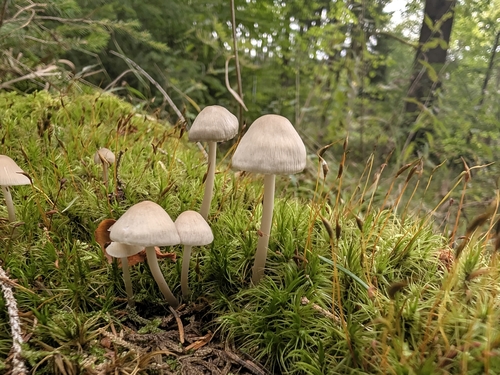
common bonnet
Mycena galericulata
Seen 2026-09-12
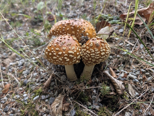
Royal fly agaric
Amanita regalis
Seen 2026-09-12
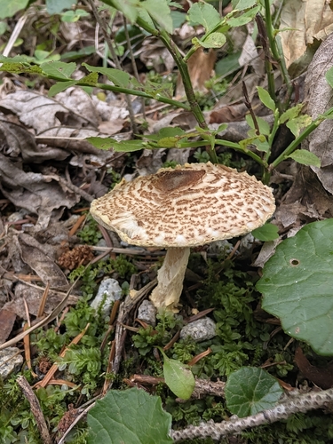
yellowfoot dapperling
Lepiota magnispora
Seen 2026-09-12
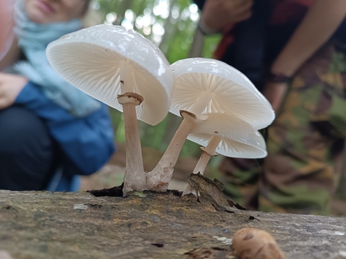
porcelain mushroom
Oudemansiella mucida
Seen 2026-09-10
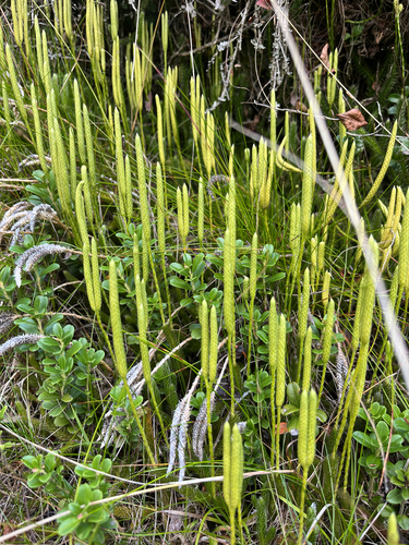
stag's-horn clubmoss
Lycopodium clavatum
Seen 2026-09-07
Research-grade observations from iNaturalist (within ~15 mi).
Events
Gallery
Official Identifiers
ČSÚ — Czech Statistical Office
- RÚIAN code
- CZ550647
- Population (Wikidata)
- 7,289
- Wikidata
- Q1013919
RÚIAN obec ID via Wikidata P782
Sources
- • Wikipedia
- • Wikidata
- • iNaturalist
- • Wikidata SPARQL (CC0) — population, area, elevation, inception, head of government, Commons image
- • ČSÚ — Czech Statistical Office — RÚIAN obec ID via Wikidata P782