Browse / Czechia / South Bohemian / Volary
Volary
South Bohemiantown

Volary
Total population
3,792
Demographic figures from Czech Statistical Office. Overview below cites Wikipedia and may reference a different year.
City facts
Facts from Wikidata (CC0).
Overview
Volary is a town in Prachatice District in the South Bohemian Region of the Czech Republic. It has about 3,700 inhabitants. The town proper is located in the Bohemian Forest mountain range.
Read more on WikipediaHistory & geography
History
The first mention of Volary is from 1359, when the Prachatice councillor Ondřej from Volary (in Latin Andreas de Wallerii) was listed. The foundation of Volary was connected with the overall colonisation of Bohemian Forest in the 13th and 14th centuries. The inhabitants were predominantly ethnic Germans from Bavaria. Until the beginning of the 18th century, the main source of income was the trade on the Golden Trail. Volary was the largest settlement of the carriers on the Czech part of the Prachatice Golden Trail and rapidly grew. They served as a place of rest and overnight stays for carriers, who imported salt and other goods on horses along an important medieval road from Passau to Prachatice. The shape of the square has also been adapted to the route of the trail. In the 16th century, during the heyday of the trail, there were 13 pubs and four blacksmiths in Volary. In 1596, Peter Vok of Rosenberg extended the Volary privileges for the right to seize horses and charge of merchants who deviated from the prescribed direction of the trail and avoided Volary. In the late 19th century the market town of Volary consisted of 224 houses with 2,069 German speaking inhabitants. Under the patronage of the authorities, the parish Church of Saint Catherine and the school were built and maintained. There was also in a public chapel of St. Florian and a town hall. The main sources of income were agriculture, cattle breeding and cattle fattening, linen weaving and the production of yarns. Every year Volary sold about 400 steers to Prague. The deposited borough was surrounded by agriculturally used meadows with numerous wooden houses, hay barns and traditional alpine architecture which gave the area along with the special construction of the houses an alpine character. The…
Geography
Volary is located about southwest of Prachatice and west of České Budějovice. It lies mostly in the Bohemian Forest mountain range, only the northeastern part of Volary extends into the Bohemian Forest Foothills. The highest mountain in the municipal territory is Bobík at above sea level, located north of the town. Other high mountains in the territory include Jedlová at , Křemenná at , Doupná hora at , Větrný at , Mechový vrch at and Na Skále at . The town is crossed by the stream Volarský potok. It flows into the Teplá Vltava, which runs along the southwestern border of the territory. The Blanice River flows along the eastern municipal border.
Excerpted from the corresponding Wikipedia article (CC BY-SA).
Geography
Coordinates & boundaries from the US Census TIGER/Line shapefiles.
Climate
Air quality
Walkability
Amenities nearby
Wildlife & biodiversity
Earthquake history
Photos
Sights & places nearby
Notable people from here
Nearby places in South Bohemian
- Cudrovice3.4 mi away
- Lenora4.3 mi away · pop. 688
- České Žleby5.6 mi away · pop. 59
- Horní Vltavice6.6 mi away · pop. 376
- Horní Záblatí6.7 mi away · pop. 32
- Drslavice8.1 mi away · pop. 29
- Buk9.1 mi away · pop. 229
- Láz9.2 mi away · pop. 53
- Dvory9.3 mi away · pop. 69
- Záhoří10.2 mi away · pop. 56
- Husinec11 mi away · pop. 1,436
- Nový Svět12 mi away · pop. 36
Geography & sun
Elevation, sunrise/sunset and daylight from Open-Meteo. Solar climatology from NASA POWER.
Nearby airports
Public attention
Pageview totals from the Wikimedia Pageviews API.
Books about this place
Recent natural events nearby
Ground air-quality sensors
Recently spotted species
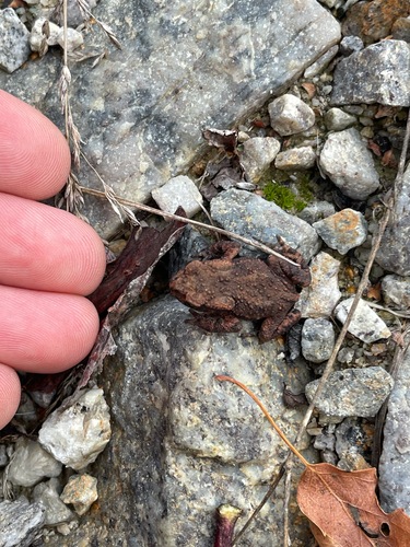
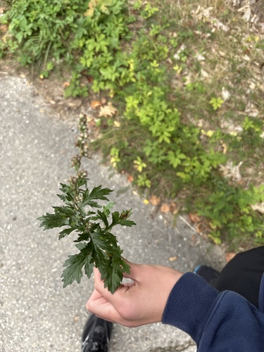
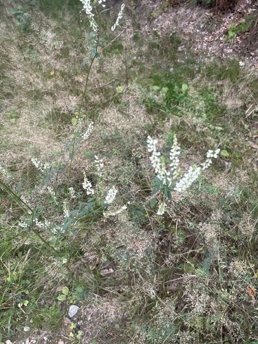
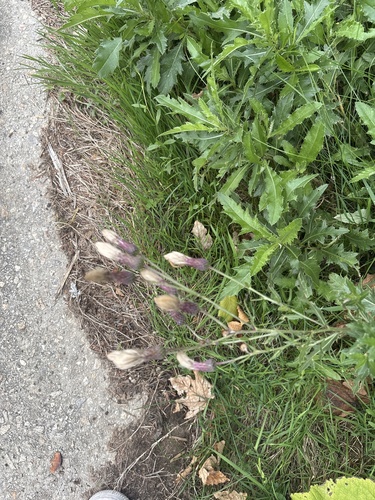
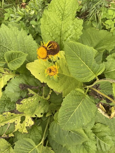
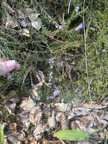
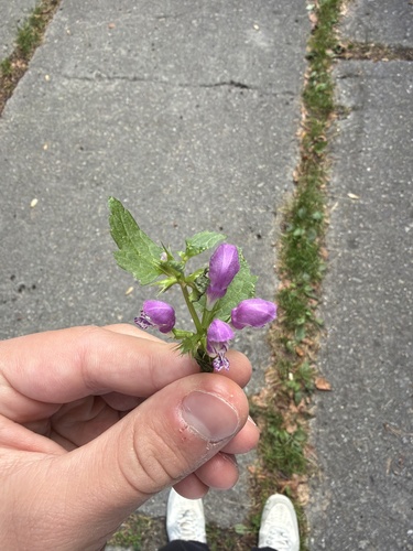
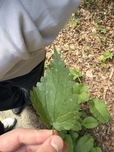
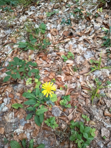
Research-grade observations from iNaturalist (within ~15 mi).
Events
Gallery
Official Identifiers
ČSÚ — Czech Statistical Office
- RÚIAN code
- CZ550671
- Population (Wikidata)
- 3,692
- Wikidata
- Q509207
RÚIAN obec ID via Wikidata P782
Sources
- • Wikipedia
- • Wikidata
- • iNaturalist
- • Open-Meteo / sunrise-sunset.org
- • Wikipedia Pageviews API
- • Wikidata SPARQL (CC0) — population, area, elevation, inception, head of government, Commons image
- • ČSÚ — Czech Statistical Office — RÚIAN obec ID via Wikidata P782