Browse / Czechia / South Bohemian / Volyně
Volyně
South Bohemiantown

Volyně
Total population
3,044
Demographic figures from Czech Statistical Office. Overview below cites Wikipedia and may reference a different year.
City facts
Facts from Wikidata (CC0).
Overview
Volyně is a town in Strakonice District in the South Bohemian Region of the Czech Republic. It has about 3,000 inhabitants. The town is located on the Volyňka River in the Bohemian Forest Foothills.
Read more on WikipediaHistory & geography
History
According to archaeological findings, a Slavic settlement was built on the site of today's town in the 7th century. The first written mention of Volyně is from 1271, when a gord was documented here. In 1299, the settlement was promoted to a town. In 1327, the parish church and town fortifications were completed. In the 15th century, the Volyně waged a long-standing and ultimately victorious dispute with the royal town of Písek over the import of salt and the payment of tolls. The town's prosperity peaked before the Thirty Years' War. During the war, Volyně suffered from looting, fires and passage of troops. After the war, despite several fires and plague epidemics, the town continued to grow and spread beyond the town walls. The face of the town changed significantly in the 19th century, when the square was paved and new multi-story buildings began to be built.
Geography
Volyně is located about south of Strakonice and northwest of České Budějovice. It lies in the Bohemian Forest Foothills. The highest point is a nameless hill at above sea level. The Volyňka River flows through the town.
Excerpted from the corresponding Wikipedia article (CC BY-SA).
Geography
Coordinates & boundaries from the US Census TIGER/Line shapefiles.
Climate
Air quality
Walkability
Amenities nearby
Wildlife & biodiversity
Earthquake history
Photos
Sights & places nearby
Notable people from here
Nearby places in South Bohemian
- Doubravice u Volyně2.7 mi away · pop. 84
- Krušlov3.8 mi away · pop. 60
- Bohunice4.6 mi away · pop. 45
- Kapsova Lhota4.8 mi away · pop. 91
- Dolní Nakvasovice5 mi away · pop. 73
- Horní Nakvasovice5.1 mi away · pop. 52
- Budilov5.6 mi away · pop. 89
- Bošice5.7 mi away · pop. 121
- Přední Ptákovice5.9 mi away · pop. 2,591
- Modlešovice6.9 mi away · pop. 161
- Virt7 mi away · pop. 54
- Dražejov7.4 mi away · pop. 1,135
Geography & sun
Elevation, sunrise/sunset and daylight from Open-Meteo. Solar climatology from NASA POWER.
Nearby airports
Public attention
Pageview totals from the Wikimedia Pageviews API.
Books about this place
Recent natural events nearby
Ground air-quality sensors
Recently spotted species
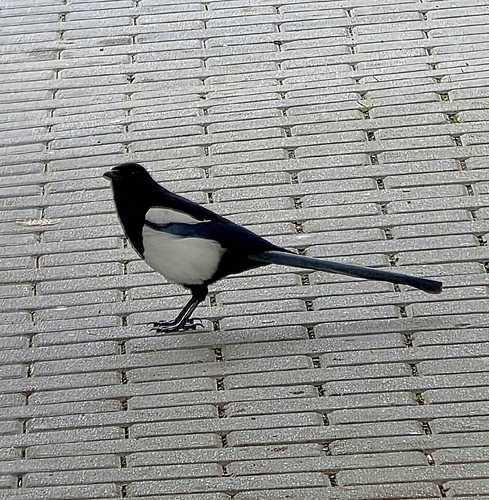
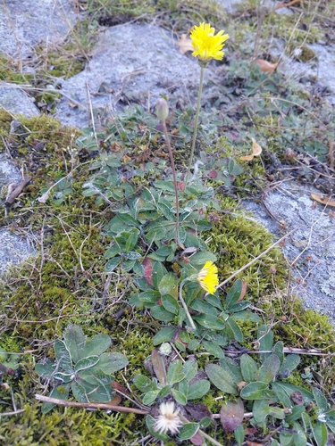
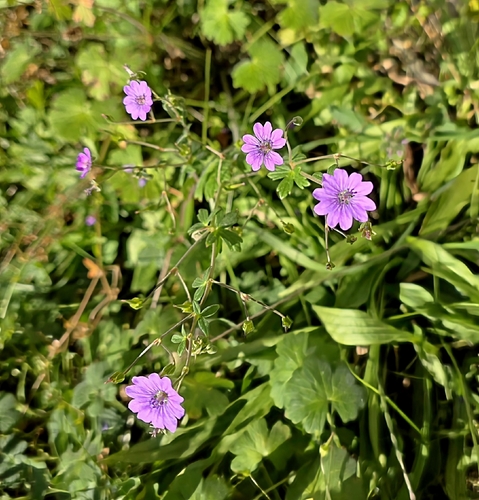
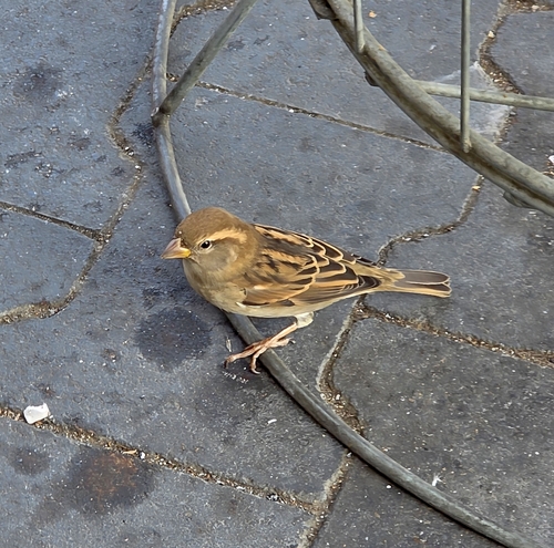
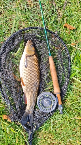
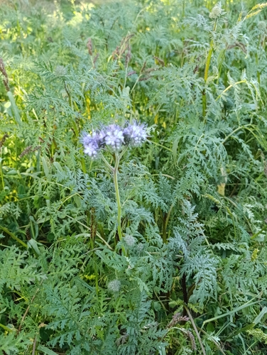
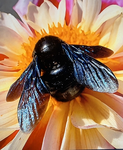
Research-grade observations from iNaturalist (within ~15 mi).
Events
Gallery
Official Identifiers
ČSÚ — Czech Statistical Office
- RÚIAN code
- CZ551970
- Population (Wikidata)
- 3,036
- Wikidata
- Q1017889
RÚIAN obec ID via Wikidata P782
Sources
- • Wikipedia
- • Wikidata
- • iNaturalist
- • Open-Meteo / sunrise-sunset.org
- • Wikipedia Pageviews API
- • Wikidata SPARQL (CC0) — population, area, elevation, inception, head of government, Commons image
- • ČSÚ — Czech Statistical Office — RÚIAN obec ID via Wikidata P782