Browse / Czechia / Pardubice / Žamberk
Žamberk
Pardubicetown

Žamberk
Total population
6,153
Demographic figures from Czech Statistical Office. Overview below cites Wikipedia and may reference a different year.
City facts
Sister cities
Facts from Wikidata (CC0).
Overview
Žamberk is a town in Ústí nad Orlicí District in the Pardubice Region of the Czech Republic. It has about 5,800 inhabitants. The town is located on the Divoká Orlice River in the Orlické Foothills. It is known as the birthplace of the inventor Prokop Diviš.
Read more on WikipediaHistory & geography
History
Žamberk was founded in the second half of the 13th century, during the colonisation of this region. Its predecessor was a Slavic settlement on a trade route from Moravia to Kłodzko Land. The first written mention of Žamberk is from 1332, under its German name Senftenberg. Soon after, the Czech name began to be used, which testifies to the majority of the Czech population. In the middle of the 14th century, Žamberk was divided between the estates of Litice and Žampach with different owners. As a part of the Litice estate, it was owned by the Pernštejn family and Ernest of Bavaria. In 1563, it was acquired by Mikuláš Bubna of Litice. In 1575, he bought the second part of Žamberk and merged the two parts. In 1575–1600, he had built a castle here and since then it was known as the Žamberk estate. The Bubna of Litice family owned the estate until 1809.
Geography
Žamberk is located about northeast of Ústí nad Orlicí and east of Pardubice. It lies in the Orlické Foothills. The highest point is the hill Hůrka at above sea level. The Divoká Orlice River flows through the town. Žamberk's climate is classified as humid continental climate (Köppen: Dfb; Trewartha: Dcbo). Among them, the annual average temperature is , the hottest month in July is , and the coldest month is in January. The annual precipitation is , of which July is the wettest with , while April is the driest with only . The extreme temperature throughout the year ranged from on 28 January 1942 to on 7 August 2015.
Excerpted from the corresponding Wikipedia article (CC BY-SA).
Geography
Coordinates & boundaries from the US Census TIGER/Line shapefiles.
Climate
Air quality
Walkability
Amenities nearby
Wildlife & biodiversity
Most-observed species
- Great TitParus major Linnaeus, 1758 · Aves1,622
- Eurasian BlackbirdTurdus merula Linnaeus, 1758 · Aves1,470
- Eurasian Blue TitCyanistes caeruleus (Linnaeus, 1758) · Aves1,341
- Common ChaffinchFringilla coelebs Linnaeus, 1758 · Aves1,215
- YellowhammerEmberiza citrinella Linnaeus, 1758 · Aves1,133
- Great Spotted WoodpeckerDendrocopos major (Linnaeus, 1758) · Aves1,109
- Common Wood-PigeonColumba palumbus Linnaeus, 1758 · Aves1,027
- Common BuzzardButeo buteo (Linnaeus, 1758) · Aves988
Citizen-science & research observations from the Global Biodiversity Information Facility (GBIF).
Earthquake history
Most recent
- M 3 — 2006-03-211 km NNW of Bystré, Czechia
- M 2.6 — 2005-12-315 km ENE of Šternberk, Czechia
- M 3.4 — 2005-10-250 km N of ?ervený Kostelec, Czechia
- M 2.9 — 2005-08-102 km WSW of ?ervený Kostelec, Czechia
- M 2.7 — 2004-08-133 km SSW of Karpacz, Poland
- M 2.8 — 2003-08-261 km NNW of Marciszów, Poland
Events from the USGS Earthquake Catalog (global) (FDSN Event Web Service).
Photos
Sights & places nearby
Notable people from here
Nearby places in Pardubice
- Bohousová3.5 mi away · pop. 168
- Šedivec4.1 mi away · pop. 210
- České Libchavy5.7 mi away · pop. 404
- Vlčkovice5.9 mi away · pop. 124
- Černovír7.3 mi away · pop. 322
- Oldřichovice7.7 mi away · pop. 349
- Horní Dobrouč8.5 mi away · pop. 262
- Kaliště8.7 mi away · pop. 54
- Horní Houžovec8.8 mi away · pop. 68
- Knapovec8.9 mi away · pop. 295
- Hylváty9.4 mi away · pop. 3,028
- Podlesí9.5 mi away · pop. 128
Geography & sun
Elevation, sunrise/sunset and daylight from Open-Meteo. Solar climatology from NASA POWER.
Nearby airports
Public attention
Pageview totals from the Wikimedia Pageviews API.
Books about this place
Recent natural events nearby
Ground air-quality sensors
Recently spotted species
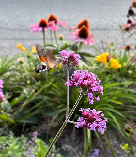
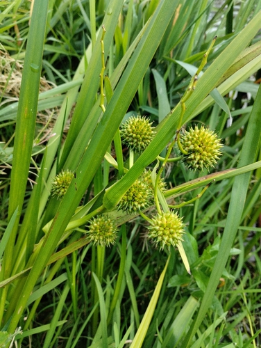
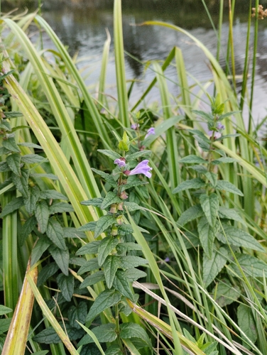
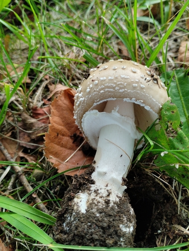
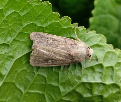
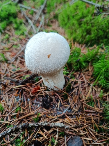
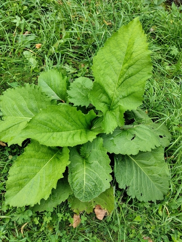
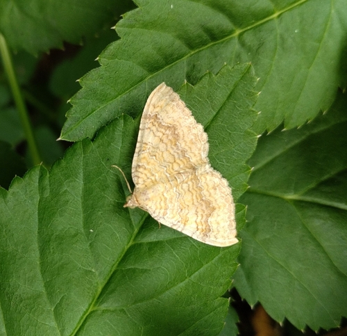
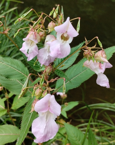
Research-grade observations from iNaturalist (within ~15 mi).
Events
Gallery
Official Identifiers
ČSÚ — Czech Statistical Office
- RÚIAN code
- CZ581259
- Population (Wikidata)
- 5,819
- Wikidata
- Q158272
RÚIAN obec ID via Wikidata P782
Sources
- • Wikipedia
- • Wikidata
- • USGS Earthquake Catalog (global feed)
- • GBIF (Global Biodiversity Information Facility)
- • iNaturalist
- • Open-Meteo / sunrise-sunset.org
- • Wikipedia Pageviews API
- • Wikidata SPARQL (CC0) — population, area, elevation, inception, head of government, Commons image
- • ČSÚ — Czech Statistical Office — RÚIAN obec ID via Wikidata P782