Browse / Czechia / Central Bohemian / Zdice
Zdice
Central Bohemiantown

Zdice
Total population
4,162
Demographic figures from Czech Statistical Office. Overview below cites Wikipedia and may reference a different year.
City facts
Facts from Wikidata (CC0).
Overview
Zdice is a town in Beroun District in the Central Bohemian Region of the Czech Republic. It has about 4,100 inhabitants. The town is located at the confluence of the Litavka River and the stream Červený potok.
Read more on WikipediaHistory & geography
History
The first written mention of Zdice is from 1148. It was probably founded in 1039. Until 1302, it was owned by the bishopric in Prague, then it was joined to the town of Beroun. In 1357, the village was merged with the newly established Karlštejn estate, owned by the royal chamber. During the rule of King Sigismund, Zdice was annexed to the Točník estate, to which it belonged until 1607. From 1607 until the establishment of an independent municipal administration after 1848, the village belonged to the Králův Dvůr estate. Zdice underwent industrialisation in the second half of the 19th century, and the population grew. In 1872, Zdice was promoted to a market town, and in 1994, it officially became a town.
Geography
Zdice is located about southwest of Beroun and southwest of Prague. It lies mostly in the Hořovice Uplands, including the built-up area. The northwestern part of the municipal territory extends into the Křivoklát Highlands and Křivoklátsko Protected Landscape Area, and includes the highest point of Zdice, which is the hill Kalce at above sea level. The town is situated at the confluence of the Litavka River and the stream Červený potok.
Excerpted from the corresponding Wikipedia article (CC BY-SA).
Geography
Coordinates & boundaries from the US Census TIGER/Line shapefiles.
Climate
10-year averages from ERA5 reanalysis (Open-Meteo).
Air quality
Walkability
Amenities nearby
Wildlife & biodiversity
Earthquake history
Most recent
- M 2.5 — 2007-01-134 km SSW of Krásná Hora nad Vltavou, Czechia
- M 3.1 — 2004-11-155 km ENE of Kada?, Czechia
- M 3.1 — 2001-10-092 km W of Jáchymov, Czechia
Events from the USGS Earthquake Catalog (global) (FDSN Event Web Service).
Photos
Sights & places nearby
Notable people from here
Nearby places in Central Bohemian
- Knížkovice1.2 mi away · pop. 135
- Tmaň2.5 mi away · pop. 755
- Karlova Huť2.9 mi away · pop. 348
- Žebrák4.4 mi away · pop. 2,248
- Otročiněves4.7 mi away · pop. 434
- Stradonice5.9 mi away · pop. 150
- Skřipel6.3 mi away · pop. 117
- Všeradice6.3 mi away · pop. 415
- Malý Chlumec8 mi away · pop. 171
- Řevnice11.5 mi away · pop. 2,956
- Dolní Kvaň11.9 mi away
- Nová Ves12 mi away · pop. 211
Geography & sun
Elevation, sunrise/sunset and daylight from Open-Meteo. Solar climatology from NASA POWER.
Nearby airports
Public attention
Pageview totals from the Wikimedia Pageviews API.
Books about this place
Recent natural events nearby
Ground air-quality sensors
Recently spotted species
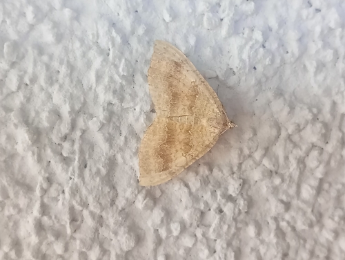
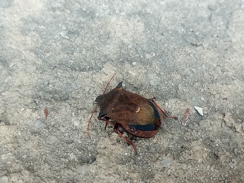
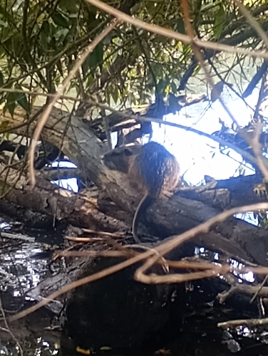
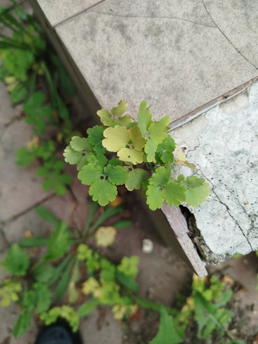
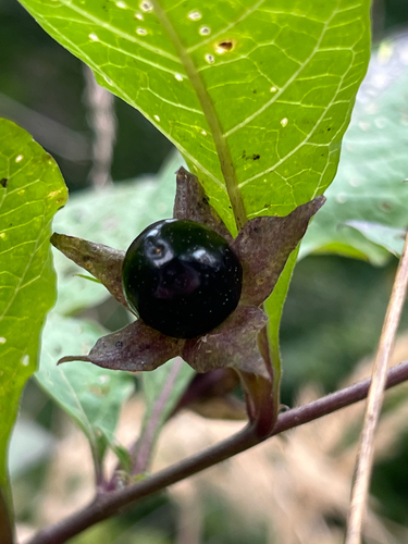
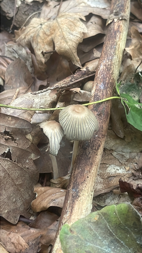
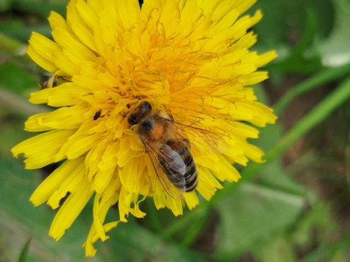
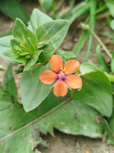
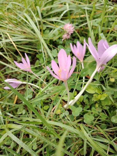
Research-grade observations from iNaturalist (within ~15 mi).
Events
Gallery
Geotagged photos within ~6 miles of Zdice, from Wikimedia Commons contributors.
 0 mi
0 mi 0 mi
0 mi 0 mi
0 mi 0 mi
0 mi 0 mi
0 mi 0 mi
0 mi 0 mi
0 mi 0 mi
0 mi 0 mi
0 mi 0 mi
0 mi 0 mi
0 mi 0 mi
0 mi 0 mi
0 mi 0 mi
0 mi 0.1 mi
 0.1 mi
 0.1 mi
 0.1 mi
.jpg) 0.1 mi
0.1 mi.jpg) 0.1 mi
0.1 mi 0.1 mi
 0.1 mi
 0.1 mi
 0.1 mi
Photos via Wikimedia Commons — see each image page for license & attribution.
Official Identifiers
ČSÚ — Czech Statistical Office
- RÚIAN code
- CZ532011
- Population (Wikidata)
- 4,124
- Wikidata
- Q169133
RÚIAN obec ID via Wikidata P782
Sources
- • Wikipedia
- • Open-Meteo (ERA5 reanalysis)
- • Wikimedia Commons
- • Wikidata
- • USGS Earthquake Catalog (global feed)
- • iNaturalist
- • Open-Meteo / sunrise-sunset.org
- • Wikipedia Pageviews API
- • Wikidata SPARQL (CC0) — population, area, elevation, inception, head of government, Commons image
- • ČSÚ — Czech Statistical Office — RÚIAN obec ID via Wikidata P782