Browse / Czechia / Plzeň / Žihobce
Žihobce
Plzeňvillage

Žihobce
Total population
319
Demographic figures from Czech Statistical Office. Overview below cites Wikipedia and may reference a different year.
City facts
Facts from Wikidata (CC0).
Overview
Žihobce is a municipality and village in Klatovy District in the Plzeň Region of the Czech Republic. It has about 600 inhabitants.
Read more on WikipediaHistory & geography
History
The first written mention of Žihobce is from 1045. In the same year, the village was donated by Duke Bretislav I to the Břevnov Monastery. It is not known how long the monastery owned the village, but in 1356 it already belonged to a family of lesser nobles who called themselves the Lords of Žihobce. They owned Žihobce until the first half of the 16th century, when it was bought by the Rýzmberk family. However, they soon sold it to Jan Šťastný of Říčany. Jan Šťastný of Říčany owned Žihobce in 1548–1556. In 1556, Žihobce was acquired by the Koc family. They built here a fortress and made Žihobce the centre of a small estate. In 1617, the estate was bought by Jaroslav Pinta Bukovanský of Bukovany, but his properties were confiscated by Emperor Ferdinand II in 1620 as a result of the Battle of White Mountain. Žihobce then often changed hands. Its owners included various former imperial officers and their wives and widows. The most notable of them was Ferdinand Isellin, who chose Žihobce as his residence and had rebuilt the fortress into a castle in 1688.
Geography
Žihobce is located about southeast of Klatovy and south of Plzeň. It lies in the Bohemian Forest Foothills. The highest point is on the slope of the Sedlo hill at above sea level. The municipal territory is rich in small fishponds.
Excerpted from the corresponding Wikipedia article (CC BY-SA).
Geography
Coordinates & boundaries from the US Census TIGER/Line shapefiles.
Climate
Air quality
Walkability
Amenities nearby
Wildlife & biodiversity
Earthquake history
Photos
Sights & places nearby
Notable people from here
Nearby places in Plzeň
- Bukovník1.4 mi away · pop. 65
- Chmelná3.6 mi away · pop. 189
- Svaté Pole7.2 mi away · pop. 67
- Velký Bor10.8 mi away · pop. 324
- Srní11.2 mi away · pop. 333
- Modrava14.6 mi away · pop. 8
- Nezdřev15.2 mi away · pop. 116
- Myslovice17.2 mi away · pop. 107
- Borovy26 mi away · pop. 235
- Mešno30.5 mi away · pop. 87
- Křenovy35.4 mi away · pop. 150
- Kotovice38.2 mi away · pop. 150
Geography & sun
Elevation, sunrise/sunset and daylight from Open-Meteo. Solar climatology from NASA POWER.
Nearby airports
Public attention
Pageview totals from the Wikimedia Pageviews API.
Books about this place
Recent natural events nearby
Ground air-quality sensors
Recently spotted species
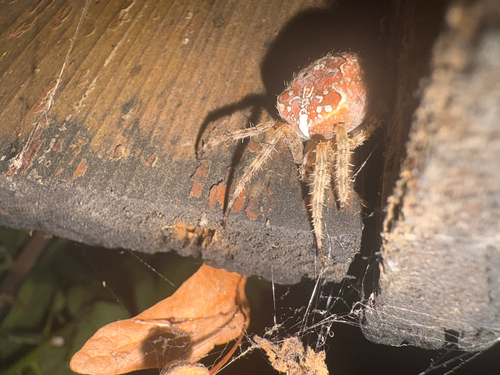
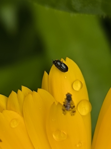
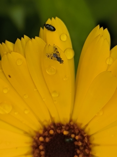
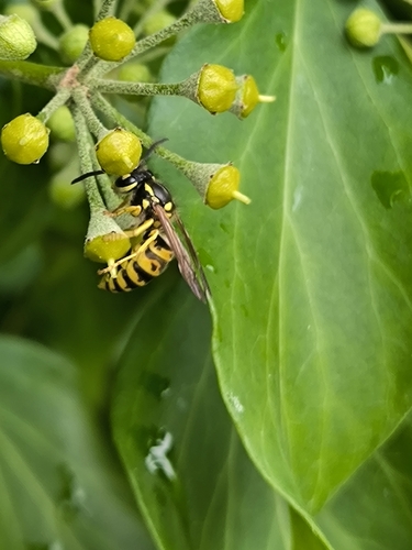
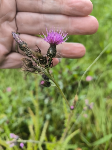
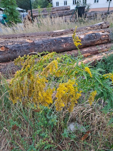
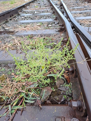
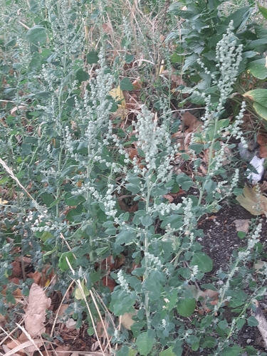
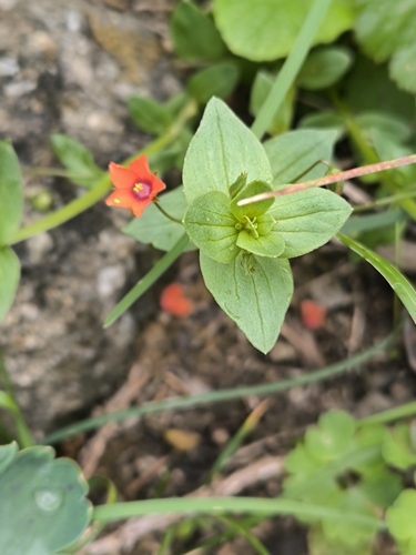
Research-grade observations from iNaturalist (within ~15 mi).
Events
Gallery
Official Identifiers
ČSÚ — Czech Statistical Office
- RÚIAN code
- CZ557536
- Population (Wikidata)
- 566
- Wikidata
- Q2703617
RÚIAN obec ID via Wikidata P782
Sources
- • Wikipedia
- • Wikidata
- • iNaturalist
- • Open-Meteo / sunrise-sunset.org
- • Wikipedia Pageviews API
- • ČSÚ — Czech Statistical Office — RÚIAN obec ID via Wikidata P782