Browse / Czechia / Karlovy Vary / Žlutice
Žlutice
Karlovy Varyvillage

Žlutice
Total population
2,660
Demographic figures from Czech Statistical Office. Overview below cites Wikipedia and may reference a different year.
City facts
Sister cities
Facts from Wikidata (CC0).
Overview
Žlutice is a town in Karlovy Vary District in the Karlovy Vary Region of the Czech Republic. It has about 2,200 inhabitants. The historic town centre is well preserved and is protected as urban monument zone.
Read more on WikipediaHistory & geography
History
The first written mention of Žlutice is from 1140, when the village was donated to the Kladruby Monastery. Between 1306 and 1341, a fortified town was founded by Bohuslav of Rýzmburk on the site of the original village. During the Hussite Wars, the town was conquered by the Hussites. In 1430, Žlutice became property of the Hussite leader Jakoubek of Vřesovice. He had built here a new castle in 1455. Knights of Vřesovice owned the town until 1537, when they sold it to Henry IV, Burgrave of Plauen. In 1575–1650, Žlutice was a property of the Knights of Kokořín. During the Thirty Years' War, the town was repeatedly conquered and looted by the Swedish troops. From 1650, Žlutice was ruled by the Hroznata family.
Geography
Žlutice is located about southeast of Karlovy Vary. It lies mostly in the Teplá Highlands, only a small part of the municipal territory in the east extends into the Rakovník Uplands. The highest point is the hill Vladař at above sea level. The Střela River flows through the town and the Žlutice Reservoir is built on the river in the western part of the municipal territory.
Excerpted from the corresponding Wikipedia article (CC BY-SA).
Geography
Coordinates & boundaries from the US Census TIGER/Line shapefiles.
Climate
Air quality
Walkability
Amenities nearby
Wildlife & biodiversity
Earthquake history
Photos
Sights & places nearby
Notable people from here


People born within ~10 km, from Wikidata (CC0). Click any name for their Wikipedia article.
Nearby places in Karlovy Vary
- Boč19 mi away · pop. 76
- Citice24.8 mi away · pop. 713
- Slapany35.3 mi away
- Ouled Driss983 mi away · pop. 11,303
- M'Zaret Boumendjel983.4 mi away
- Mechroha985.5 mi away · pop. 21,802
- Souk Ahras988.9 mi away · pop. 155,259
- Mechtat Dardoura990.4 mi away
- Tiffech997.3 mi away
- Ain Tamatmat997.6 mi away
- Ain el Garsa1003.3 mi away
- Hadj Rabah1004.1 mi away
Geography & sun
Elevation, sunrise/sunset and daylight from Open-Meteo. Solar climatology from NASA POWER.
Nearby airports
Public attention
Pageview totals from the Wikimedia Pageviews API.
Books about Žlutice
Search results from Open Library.
Recent natural events nearby
Ground air-quality sensors
Recently spotted species
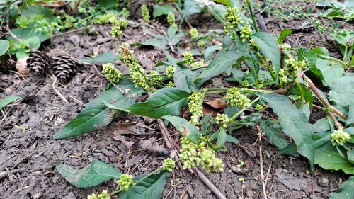
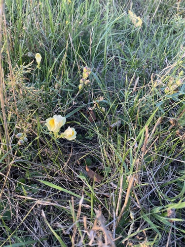
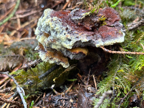
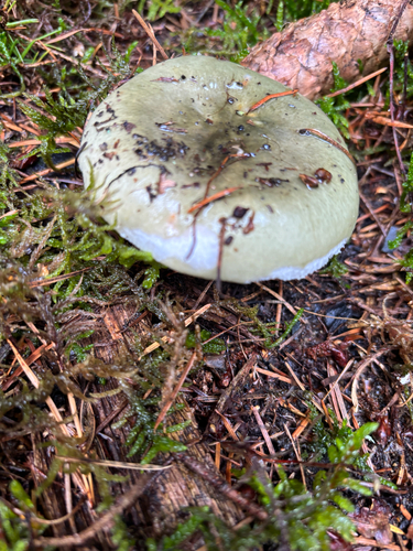
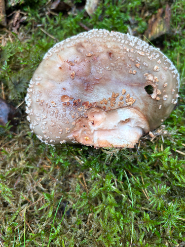
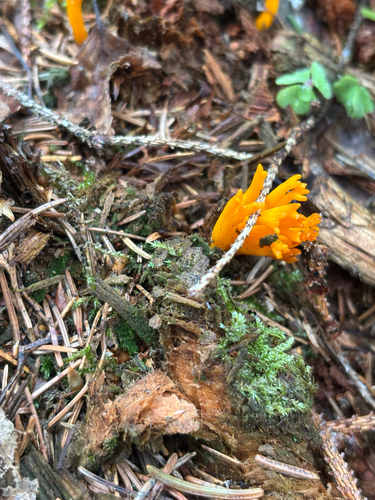
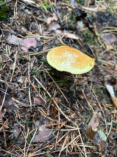
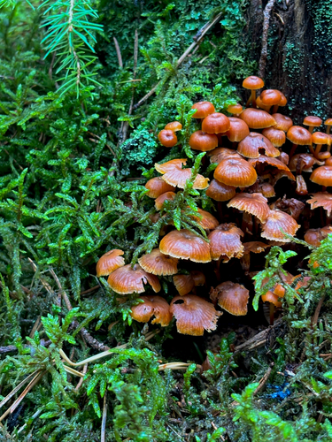
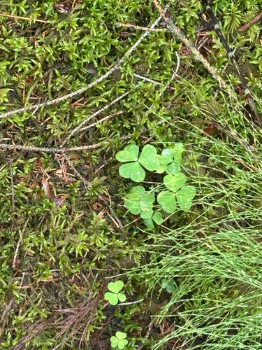
Research-grade observations from iNaturalist (within ~15 mi).
Events
Gallery
Official Identifiers
ČSÚ — Czech Statistical Office
- RÚIAN code
- CZ555762
- Population (Wikidata)
- 2,187
- Wikidata
- Q394241
RÚIAN obec ID via Wikidata P782
Sources
- • Wikipedia
- • Wikidata
- • iNaturalist
- • Open-Meteo / sunrise-sunset.org
- • Wikipedia Pageviews API
- • Open Library
- • Wikidata SPARQL (CC0) — population, area, elevation, inception, head of government, Commons image
- • ČSÚ — Czech Statistical Office — RÚIAN obec ID via Wikidata P782