Browse / Germany / Baden-Württemberg / Aalen
Aalen
Baden-Württembergtown

Aalen
Total population
68,816
Demographic figures from Destatis. Overview below cites Wikipedia and may reference a different year.
City facts
Facts from Wikidata (CC0).
Overview
Aalen is a town located in the eastern part of the German state of Baden-Württemberg, about 70 kilometres (43 mi) east of Stuttgart and 48 kilometres (30 mi) north of Ulm. It is the seat and largest town of the Ostalbkreis district, as well as the largest in the Ostwürttemberg region.
Read more on WikipediaHistory & geography
History
Numerous remains of early civilization have been found in the area. Tools made of flint and traces of Mesolithic human settlement dated between the 8th and 5th millennium BC were found on several sites on the margins of the Kocher and Jagst valleys. On the Schloßbaufeld plateau (appr. ), situated behind Kocherburg castle near Unterkochen, a hill-top settlement was found, with the core being dated to the Bronze Age. In the Appenwang forest near Wasseralfingen, in Goldshöfe, and in Ebnat, tumuli of the Hallstatt culture were found. In Aalen and Wasseralfingen, gold and silver coins left by the Celts were found. The Celts were responsible for the fortifications in the Schloßbaufeld settlement consisting of sectional embankments and a stone wall. Also, Near Heisenberg (Wasseralfingen), a Celtic nemeton has been identified; however, it is no longer readily apparent. After abandoning the Alb Limes (a limes generally following the ridgeline of the Swabian Jura) around 150 AD, Aalen's territory became part of the Roman Empire, in direct vicinity of the then newly erected Rhaetian Limes. The Romans erected a castrum to house the cavalry unit Ala II Flavia milliaria; its remains are known today as Kastell Aalen ("Aalen Roman fort"). The site is west of today's town centre at the bottom of the Schillerhöhe hill. With about 1,000 horsemen and nearly as many grooms, it was the largest fort of auxiliaries along the Rhaetian Limes. There were Civilian settlements adjacent along the south and the east. Around 260 AD, the Romans gave up the fort as they withdrew their presence in unoccupied Germania back to the Rhine and Danube rivers, and the Alamanni took over the region. Based on 3rd- and 4th-century coins found, the civilian settlement continued to exist for the time being.…
Geography
Aalen is situated on the upper reaches of the river Kocher, at the foot of the Swabian Jura which lies to the south and south-east, and close to the hilly landscapes of the Ellwangen Hills to the north and the Welland to the north-west. The west of Aalen's territory is on the foreland of the eastern Swabian Jura, and the north and north-west is on the Swabian-Franconian Forest, both being part of the Swabian Keuper-Lias Plains. The south-west is part of the Albuch, the east is part of the Härtsfeld, these two both being parts of the Swabian Jura. The Kocher enters the town's territory from Oberkochen to the south, crosses the district of Unterkochen, then enters the town centre, where the Aal flows into it. The Aal is a small river located only within the town's territory. Next, the Kocher crosses the district of Wasseralfingen, then leaves the town for Hüttlingen. Rivers originating near Aalen are the Rems (near Essingen, west of Aalen) and the Jagst (near Unterschneidheim, east of Aalen), both being tributaries of the Neckar, just like the Kocher. The elevation in the centre of the market square is relative to Normalhöhennull. The territory's lowest point is at the Lein river near Rodamsdörfle, the highest point is the Grünberg's peak near Unterkochen at . Aalen's territory ranges over all lithostratigraphic groups of the South German Jurassic: Aalen's south and the Flexner massif are on top of the White Jurassic, the town centre is on the Brown Jurassic, and a part of Wasseralfingen is on the Black Jurassic. As a result, the town advertises itself as a "Geologist's Mecca". Most parts of the territory are on the Opalinuston-Formation (Opalinum Clay Formation) of the Aalenian subdivision of the Jurassic Period, which is named after Aalen. {| class="wikitable…
Excerpted from the corresponding Wikipedia article (CC BY-SA).
Geography
Coordinates & boundaries from the US Census TIGER/Line shapefiles.
Climate
Air quality
Walkability
Amenities nearby
Wildlife & biodiversity
Most-observed species
- House SparrowPasser domesticus (Linnaeus, 1758) · Aves4,008
- Eurasian BlackbirdTurdus merula Linnaeus, 1758 · Aves3,623
- Great TitParus major Linnaeus, 1758 · Aves2,987
- Carrion CrowCorvus corone Linnaeus, 1758 · Aves2,958
- Eurasian MagpiePica pica (Linnaeus, 1758) · Aves2,698
- Eurasian Tree SparrowPasser montanus (Linnaeus, 1758) · Aves2,540
- MallardAnas platyrhynchos Linnaeus, 1758 · Aves2,418
- Common ChaffinchFringilla coelebs Linnaeus, 1758 · Aves2,218
Citizen-science & research observations from the Global Biodiversity Information Facility (GBIF).
Earthquake history
Most recent
- M 3.4 — 2022-10-16Baden-Wurttemberg, Germany
- M 3.1 — 2008-12-253 km NNW of Saulgau, Germany
- M 2.5 — 2008-12-122 km ESE of Nehren, Germany
- M 2.7 — 2008-07-091 km WSW of Dußlingen, Germany
- M 2.5 — 2008-07-032 km W of Dußlingen, Germany
- M 2.6 — 2008-06-152 km S of Langenenslingen, Germany
Events from the USGS Earthquake Catalog (global) (FDSN Event Web Service).
Photos
Sights & places nearby
Notable people from here

People born within ~10 km, from Wikidata (CC0). Click any name for their Wikipedia article.
Nearby places in Baden-Württemberg
- Ebnat4.9 mi away · pop. 3,300
- Hussenhofen11 mi away
- Weiler in den Bergen11 mi away
- Sontheim im Stubental11.1 mi away
- Herlikofen11.3 mi away
- Oberbettringen11.5 mi away
- Unterbettringen12.2 mi away
- Degenfeld12.3 mi away
- Söhnstetten12.4 mi away
- Oggenhausen13.2 mi away
- Steinenkirch14.5 mi away
- Schnittlingen14.9 mi away
Geography & sun
Elevation, sunrise/sunset and daylight from Open-Meteo. Solar climatology from NASA POWER.
Nearby airports
Public attention
Pageview totals from the Wikimedia Pageviews API.
Books about Aalen

Search results from Open Library.
Recent natural events nearby
Ground air-quality sensors
Recently spotted species
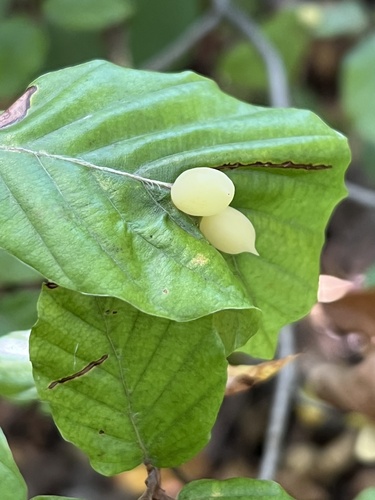
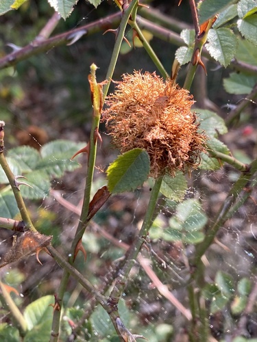
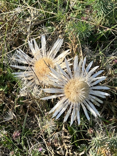
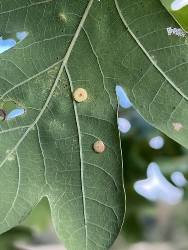
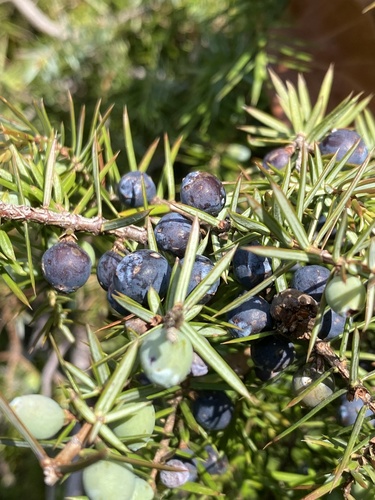
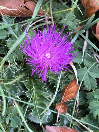
Research-grade observations from iNaturalist (within ~15 mi).
Events
Gallery
Geotagged photos within ~6 miles of Aalen, from Wikimedia Commons contributors.
 0 mi
0 mi 0 mi
0 mi 0 mi
0 mi.jpg) 0 mi
0 mi.jpg) 0 mi
0 mi 0 mi
0 mi 0 mi
0 mi 0 mi
0 mi.jpg) 0.1 mi
0.1 mi 0.1 mi
 0.1 mi
 0.1 mi
 0.1 mi
 0.1 mi
 0.1 mi
 0.1 mi
 0.1 mi
 0.1 mi
 0.1 mi
 0.1 mi
 0.1 mi
 0.1 mi
 0.1 mi
 0.1 mi
Photos via Wikimedia Commons — see each image page for license & attribution.
Official Identifiers
Destatis — German Federal Statistical Office
- AGS
- 08136088
- Population (Wikidata)
- 69,147
- Wikidata
- Q3951
Amtlicher Gemeindeschlüssel (AGS) via Wikidata P439
Sources
- • Wikipedia
- • Wikimedia Commons
- • Wikidata
- • USGS Earthquake Catalog (global feed)
- • GBIF (Global Biodiversity Information Facility)
- • iNaturalist
- • Open-Meteo / sunrise-sunset.org
- • Wikipedia Pageviews API
- • Open Library
- • Wikidata SPARQL (CC0) — population, area, elevation, inception, head of government, Commons image
- • Destatis — German Federal Statistical Office — Amtlicher Gemeindeschlüssel (AGS) via Wikidata P439