Browse / Germany / Baden-Württemberg / Abtsgmünd
Abtsgmünd
Baden-Württembergvillage

Abtsgmünd
Total population
7,394
Demographic figures from Destatis. Overview below cites Wikipedia and may reference a different year.
City facts
Sister cities
Facts from Wikidata (CC0).
Overview
Abtsgmünd is a municipality in the German state of Baden-Württemberg, in Ostalbkreis district. Abtsgmünd is located at the confluence of two streams, the Lein and the Kocher. The large area municipality consists of the main town of Abtsgmünd as well as the five districts of Neubronn, Laubach, Untergröningen, Hohenstadt and Pommertsweiler and their associated villages and hamlets. The municipality is a state-recognized recreation area in the Swabian-Franconian Forest Nature Park.
Read more on WikipediaHistory & geography
History
Abtsgmünd was likely founded from Ellwangen. The town gets its name from the confluence of the Lein into the Kocher river and its affiliation with Ellwangen Monastery (The Gemunden of the Abbot, as distinct from other Gemunden places). Thus, Abtsgmünd is likely an Ellwangen foundation after the 7th century, though the exact time is unknown. The Ellwangen Monastery established the town to secure its forested area to the southwest. In a property directory of Ellwangen Monastery from 1136, Abtsgmünd is mentioned by the name Gemunden. In the 13th century, the name was changed to Abtzgemunde to avoid confusion with the later Imperial City of Gmünd. This name first appeared in a document by King Conrad IV in 1251. The late Romanesque ground floor of the parish church tower, built around 1200, shows that the settlement existed earlier. The Wöllstein Castle was built from Abtsgmünd to secure the rule against the Schenken von Limpurg. The owners changed frequently, but the feudal lordship of the Prince-Provostry of Ellwangen remained intact. An official was appointed to administer it, residing in Wöllstein. In 1609, Heuchlingen, Abtsgmünd and Wöllstein formed the Ellwangen district of Heuchlingen, with the district administrator's seat in Abtsgmünd. Due to its affiliation with the Prince-Provostry of Ellwangen, Abtsgmünd remained Catholic during the Reformation, while the Kocher valley from Schwäbisch Hall up to Untergröningen became Protestant in 1544. In the 17th century, the Prince-Provosts founded ironworks. In 1611, a blast furnace was established in Altschmiede in Abtsgmünd, later followed by a forging works. It was destroyed in the Thirty Years' War but rebuilt as a forging works in 1667. In 1699, the works were relocated from the Altschmiede district to…
Geography
Abtsgmünd has a share in the natural regions of the Eastern Alb Foreland and the Swabian-Franconian Forest Mountains, both of which belong to the Swabian Keuper-Lias Lands. With 71.6 km² and 7,456 inhabitants, the municipality of Abtsgmünd is the largest municipality in the Ostalbkreis district after the towns, both in area and population. The main town of Abtsgmünd lies at the confluence of the Lein river into the Kocher (confluence elevation 367.4 m above sea level), predominantly on the left bank of the Kocher and left bank of the Lein. The furthest district of Untergröningen lies over 8 km west-northwest as the crow flies along two river bends on both sides of the Kocher, which there runs at about 355 meters above sea level after about 14 km of waterway. Clockwise from the north, Abtsgmünd borders Adelmannsfelden, Neuler and a small exclave of Hüttlingen, Aalen, Heuchlingen, Schechingen and Obergröningen, Eschach (all in the Ostalbkreis district), and Sulzbach-Laufen (Schwäbisch Hall district). The present-day municipality of Abtsgmünd includes the formerly independent municipalities of Abtsgmünd, Hohenstadt, Laubach, Neubronn, Pommertsweiler and Untergröningen with a total of almost 80 villages, hamlets, farms and houses. In the Abtsgmünd district there is the village of Abtsgmünd, the hamlets of Altschmiede, Hangendenbuch, Neuschmiede, Schäufele, Vorderbüchelberg, Wilflingen and Wöllstein, the farmstead Birkholz and the residential areas Ausägmühle, Fischbach, Öl- und Sägmühle and Pulvermühle. In the Hohenstadt district there is the village of Hohenstadt, the hamlets of Börrat, Butzenberg, Christhäuser, Kocherhof, Köhrhof, Maisenhäuser, Reichertshofen, Rötenbach, Schafhäuser and Steinreute and the farms Bernhardshof, Brastelhof, Fischhaus,…
Excerpted from the corresponding Wikipedia article (CC BY-SA).
Geography
Coordinates & boundaries from the US Census TIGER/Line shapefiles.
Climate
Air quality
Walkability
Amenities nearby
Wildlife & biodiversity
Most-observed species
- House SparrowPasser domesticus (Linnaeus, 1758) · Aves3,743
- Eurasian BlackbirdTurdus merula Linnaeus, 1758 · Aves3,416
- Great TitParus major Linnaeus, 1758 · Aves2,851
- Carrion CrowCorvus corone Linnaeus, 1758 · Aves2,692
- Eurasian Tree SparrowPasser montanus (Linnaeus, 1758) · Aves2,470
- Eurasian MagpiePica pica (Linnaeus, 1758) · Aves2,458
- MallardAnas platyrhynchos Linnaeus, 1758 · Aves2,216
- Common ChaffinchFringilla coelebs Linnaeus, 1758 · Aves2,121
Citizen-science & research observations from the Global Biodiversity Information Facility (GBIF).
Earthquake history
Most recent
- M 3.4 — 2022-10-16Baden-Wurttemberg, Germany
- M 2.5 — 2008-12-122 km ESE of Nehren, Germany
- M 2.7 — 2008-07-091 km WSW of Dußlingen, Germany
- M 2.5 — 2008-07-032 km W of Dußlingen, Germany
- M 2.6 — 2008-06-152 km S of Langenenslingen, Germany
- M 2.7 — 2008-06-143 km S of Diedorf, Germany
Events from the USGS Earthquake Catalog (global) (FDSN Event Web Service).
Photos
Sights & places nearby
Notable people from here


People born within ~10 km, from Wikidata (CC0). Click any name for their Wikipedia article.
Nearby places in Baden-Württemberg
Geography & sun
Elevation, sunrise/sunset and daylight from Open-Meteo. Solar climatology from NASA POWER.
Nearby airports
Public attention
Pageview totals from the Wikimedia Pageviews API.
Books about this place
Recent natural events nearby
Ground air-quality sensors
Recently spotted species
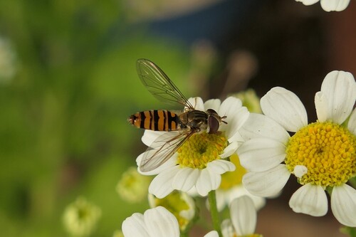
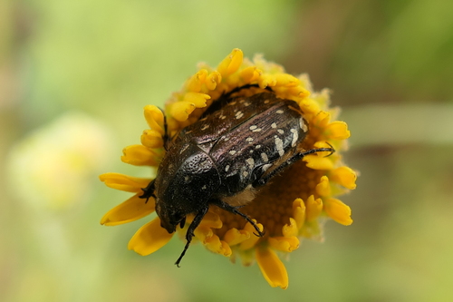
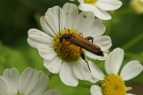

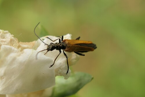

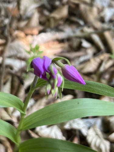
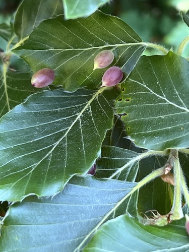
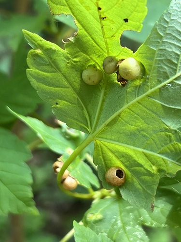
Research-grade observations from iNaturalist (within ~15 mi).
Events
Gallery
Geotagged photos within ~6 miles of Abtsgmünd, from Wikimedia Commons contributors.
 0.1 mi
.png) 0.2 mi
0.2 mi.png) 0.2 mi
0.2 mi.png) 0.2 mi
0.2 mi 0.3 mi
 0.4 mi
 0.4 mi
.png) 0.4 mi
0.4 mi 0.5 mi
 0.5 mi
 0.5 mi
 0.5 mi
 0.5 mi
 0.5 mi
 0.5 mi
 0.5 mi
.png) 0.5 mi
0.5 mi.png) 0.5 mi
0.5 mi 0.6 mi
 0.6 mi
.jpg) 0.6 mi
0.6 mi.png) 0.6 mi
0.6 mi.png) 0.6 mi
0.6 mi 0.7 mi
Photos via Wikimedia Commons — see each image page for license & attribution.
Official Identifiers
Destatis — German Federal Statistical Office
- AGS
- 08136002
- Population (Wikidata)
- 7,624
- Wikidata
- Q334623
Amtlicher Gemeindeschlüssel (AGS) via Wikidata P439
Sources
- • Wikipedia
- • Wikimedia Commons
- • Wikidata
- • USGS Earthquake Catalog (global feed)
- • GBIF (Global Biodiversity Information Facility)
- • iNaturalist
- • Open-Meteo / sunrise-sunset.org
- • Wikipedia Pageviews API
- • Wikidata SPARQL (CC0) — population, area, elevation, inception, head of government, Commons image
- • Destatis — German Federal Statistical Office — Amtlicher Gemeindeschlüssel (AGS) via Wikidata P439