Browse / Germany / Baden-Württemberg / Adelmannsfelden
Adelmannsfelden
Baden-Württembergvillage

Adelmannsfelden
Total population
1,886
Air quality index
Demographic figures from Destatis. Overview below cites Wikipedia and may reference a different year.
City facts
Sister cities
Facts from Wikidata (CC0).
Overview
Adelmannsfelden is a municipality in the German state of Baden-Württemberg, in Ostalbkreis district.
Read more on WikipediaHistory & geography
History
The municipality was first mentioned in the Ellwanger annals around 1118. At this time, a castle was built. The castle stood at the place where the Adelmannfelden Castle is located today. Descendants of the Adelmann von Adelmannsfelden family live in Adelmannsfelden Castle until today. The municipality was under changing clerical and secular rule until it became part of the Kingdom of Württemberg in 1806. Specifically, it was under the Oberamt of Aalen, which became the Landkreis Aalen (District of Aalen) during the district reforms in the NS era. Between 1945 and 1952, Adelmannsfelden belonged to the federal state of Württemberg-Baden, which was established in the US occupation zone. In 1952, it became part of the newly established federal state of Baden-Württemberg. The Landkreis Aalen was dissolved during the district reforms in 1973 and Adelmannsfelden now belongs to the district Ostalbkreis.
Geography
Adelmannsfelden is located in the Ellwangen Hills landscape in the Natural region Swabian-Franconian Forest. The municipality of Adelmannsfelden includes 18 villages, hamlets, yards and houses. There are four villages: Adelmannsfelden, Bühler, Haid and Stöcken. The three Hamlets are called Mittelwald, Ottenhof and Vorderwald. The yards include Dollishäusle, Eichhorn, Kuderberg, Mäder, Metzelgehren, Ölmühle, Papiermühle, Patrizenhaus and Wendenhof. The houses include Sägmühle and Schleifhäusle. Furthermore, the municipality includes the abandoned yards Altenwinden, Kunhof, Härzern, Limperg, Scheytenmühle, Breitengehren, Finkenhaus, Vorhardsweiler, Herzert, Herrenmühle and Rot diu Mul. ImageSize = width:600 height:150 PlotArea = width:90% height:66% bottom:25% left:5% DateFormat = x.y Period = from:0 till:100 Legend = columns:2 columnwidth:250 left:12% top:95% TimeAxis = orientation:horizontal ScaleMajor = unit:year increment:10 start:0 # The formatting blanks in the Colors-section are in fact (U+00A0) Colors = id:Gesa value:white legend: 2290_ha Total_area id:Wald value:teal legend:1271_ha = 55,5_% Forested_area id:Land value:yelloworange legend: 828_ha = 36,2_% Agricultural_area id:Wass value:brightblue legend: 15_ha = 0,6_% Water_covered_area id:Erho value:green legend: 18_ha = 0,8_% Recreational_area id:Geba value:red legend: 89_ha = 3,9_% Building-_and_open_space id:Verk value:tan1 legend: 63_ha = 2,7_% Roads_and_traffic_area id:Sons value:purple legend: 6_ha = 0,3_% Miscellaneous_area PlotData = from:00.0 till:55.5 color:Wald from:55.5 till:92.1 color:Land from:92.1 till:92.7 color:Wass from:92.7 till:93.4 color:Erho from:93.4 till:96.9 color:Geba…
Excerpted from the corresponding Wikipedia article (CC BY-SA).
Geography
Coordinates & boundaries from the US Census TIGER/Line shapefiles.
Climate
Air quality
Current readings from Open-Meteo Air Quality API (Copernicus CAMS European reanalysis).
Walkability
Amenities nearby
Wildlife & biodiversity
Most-observed species
- House SparrowPasser domesticus (Linnaeus, 1758) · Aves3,747
- Eurasian BlackbirdTurdus merula Linnaeus, 1758 · Aves3,443
- Great TitParus major Linnaeus, 1758 · Aves2,890
- Carrion CrowCorvus corone Linnaeus, 1758 · Aves2,659
- Eurasian MagpiePica pica (Linnaeus, 1758) · Aves2,448
- Eurasian Tree SparrowPasser montanus (Linnaeus, 1758) · Aves2,446
- MallardAnas platyrhynchos Linnaeus, 1758 · Aves2,215
- Common ChaffinchFringilla coelebs Linnaeus, 1758 · Aves2,137
Citizen-science & research observations from the Global Biodiversity Information Facility (GBIF).
Earthquake history
Most recent
- M 2.5 — 2008-12-122 km ESE of Nehren, Germany
- M 2.7 — 2008-07-091 km WSW of Dußlingen, Germany
- M 2.5 — 2008-07-032 km W of Dußlingen, Germany
- M 2.7 — 2008-06-143 km S of Diedorf, Germany
- M 2.6 — 2008-02-052 km SW of Dußlingen, Germany
- M 2.5 — 2008-02-012 km WSW of Dußlingen, Germany
Events from the USGS Earthquake Catalog (global) (FDSN Event Web Service).
Photos
Sights & places nearby
Notable people from here


People born within ~10 km, from Wikidata (CC0). Click any name for their Wikipedia article.
Nearby places in Baden-Württemberg
Geography & sun
Elevation, sunrise/sunset and daylight from Open-Meteo. Solar climatology from NASA POWER.
Nearby airports
Public attention
Pageview totals from the Wikimedia Pageviews API.
Books about this place
Recent natural events nearby
Ground air-quality sensors
Recently spotted species
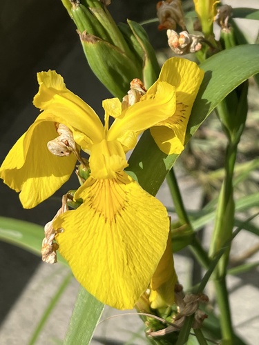
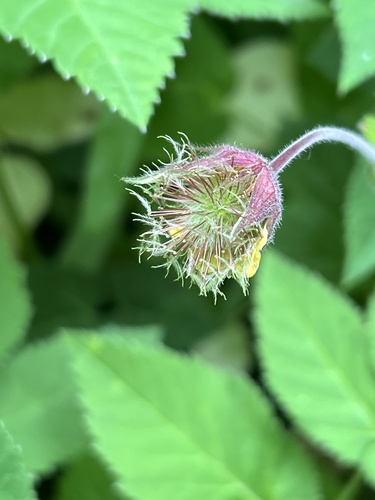
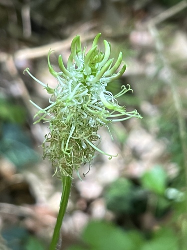
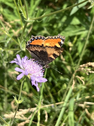
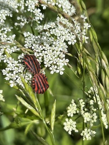
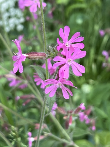
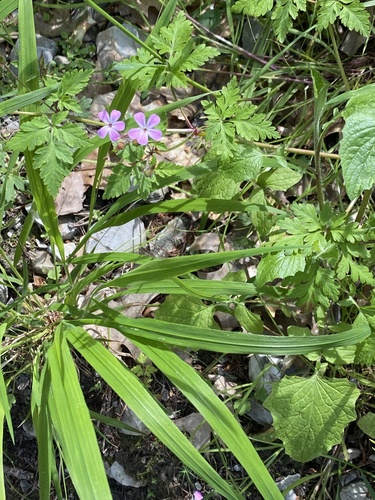
Research-grade observations from iNaturalist (within ~15 mi).
Events
Gallery
Official Identifiers
Destatis — German Federal Statistical Office
- AGS
- 08136003
- Population (Wikidata)
- 1,727
- Wikidata
- Q355264
Amtlicher Gemeindeschlüssel (AGS) via Wikidata P439
Sources
- • Wikipedia
- • Wikidata
- • Open-Meteo Air Quality (CAMS)
- • USGS Earthquake Catalog (global feed)
- • GBIF (Global Biodiversity Information Facility)
- • iNaturalist
- • Open-Meteo / sunrise-sunset.org
- • Wikipedia Pageviews API
- • Destatis — German Federal Statistical Office — Amtlicher Gemeindeschlüssel (AGS) via Wikidata P439