Browse / Germany / Brandenburg / Altlandsberg
Altlandsberg
Brandenburgtown

Altlandsberg
Total population
8,189
Demographic figures from Destatis. Overview below cites Wikipedia and may reference a different year.
City facts
Sister cities
Facts from Wikidata (CC0).
Overview
Altlandsberg is a historic town in the district of Märkisch-Oderland, in Brandenburg, Germany. It is situated about 22 km (14 mi) east of Berlin.
Read more on WikipediaHistory & geography
History
Altlandsberg was first mentioned in a 1230 deed, it was located at the site of a former Slavic (Sprevane) settlement. The area then was resettled in the course of the German Ostsiedlung, promoted both by the Ascanian Margraves of Brandenburg and the rivaling Margraves of Meissen from the House of Wettin. The town's name may refer to Saxon Landsberg Castle and therefore indicate an establishment by the Wettins. In 1245 the tensions rose to an armed conflict, in which the Ascanians maintained their grounds. From that time on Altlandsberg remained with Brandenburg. The city was laid out at the behest of the Ascanian rulers, their successor Margrave Louis I from the Bavarian House of Wittelsbach even established a monastery of the Servite Order in 1335, which was dissolved during the Protestant Reformation. Altlandsberg was devastated by the Hussites in 1432, it was affected by several town fires and plague epidemics in the 16th century. The medieval town was burnt down completely in 1632 during the Thirty Years' War. A hoard of 7450 gold and silver coins dating from the 14th and early 15th century was discovered in the grounds of the former manor in late 2016. The dates suggest that it was buried in order to protect it during the Hussite wars. It is the largest hitherto found in the state of Brandenburg, and is now being examined in the archeological museum in Brandenburg an der Havel.
Excerpted from the corresponding Wikipedia article (CC BY-SA).
Geography
Coordinates & boundaries from the US Census TIGER/Line shapefiles.
Climate
Air quality
Walkability
Amenities nearby
Wildlife & biodiversity
Earthquake history
Photos
Sights & places nearby
Notable people from here
Nearby places in Brandenburg
Geography & sun
Elevation, sunrise/sunset and daylight from Open-Meteo. Solar climatology from NASA POWER.
Nearby airports
Public attention
Pageview totals from the Wikimedia Pageviews API.
Books about Altlandsberg
Search results from Open Library.
Recent natural events nearby
Ground air-quality sensors
Recently spotted species

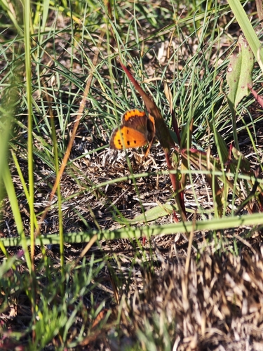

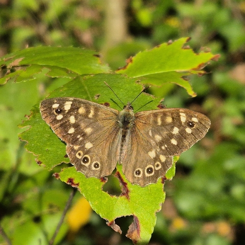
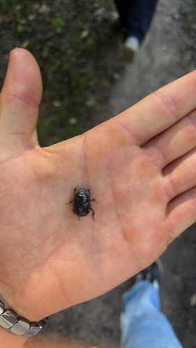
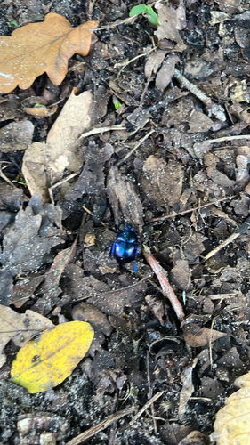
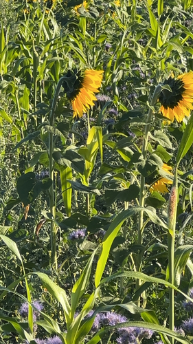

Research-grade observations from iNaturalist (within ~15 mi).
Events
Gallery
Official Identifiers
Destatis — German Federal Statistical Office
- AGS
- 12064029
- Population (Wikidata)
- 9,799
- Wikidata
- Q442339
Amtlicher Gemeindeschlüssel (AGS) via Wikidata P439
Sources
- • Wikipedia
- • Wikidata
- • iNaturalist
- • Open-Meteo / sunrise-sunset.org
- • Wikipedia Pageviews API
- • Open Library
- • Wikidata SPARQL (CC0) — population, area, elevation, inception, head of government, Commons image
- • Destatis — German Federal Statistical Office — Amtlicher Gemeindeschlüssel (AGS) via Wikidata P439