Browse / Germany / Bayern / Altomünster
Altomünster
Bayernvillage

Altomünster
Total population
8,000
Demographic figures from Destatis. Overview below cites Wikipedia and may reference a different year.
City facts
Sister cities
Facts from Wikidata (CC0).
Overview
Altomünster is a municipality in the district of Dachau in Bavaria in Germany.
Read more on WikipediaHistory & geography
History
In 750 A.D. a wandering monk named Alto came to the area and founded a small monastery. Before 1000, the Guelphs built a Benedictine monastery. Welf I, Duke of Bavaria brought 1,056 monks to colonize the newly founded monastery vineyard in Altdorf (now Weingarten), while the nuns previously established in Altdorf came to Altomünster. They lived there until the dissolution of the monastery in 1488 by Pope Innocent VIII. Around 1310, the Wittelsbach dukes awarded the residents town rights. On 4 October 1391 the market and town rights were confirmed by Duke Stephen III, Duke of Bavaria. Around 1420, the Ingolstadt dukes built the marketplace. In 1496, Duke George of Bavaria gave nuns of the Order of St. Bridget of Sweden from Maihingen permission to found a monastery at Altomünster. On March 18, 1803, the monastery was finally dissolved, although it was later revived. Today, apart from a branch in Bremen, it is the last monastery of the Order of St. Bridget of Sweden in Germany. In 1823, Altomünster lost its town status and became a rural municipality with market rights. The main reason for this was the closure of the monastery, which had been the main employer paid all the administrative costs. In 1862 a hospital was built. In 1869 a kindergarten was built. In 1882 the Market Savings Bank was founded. There has been beer breweries in Altomünster since the 1490s. However in 1886 a modern Brewery named 'Maierbräu Altomünster' has been in business. In 1888 Altomünster was connected to the telegraph service, followed in 1902 by the telephone service. Between 1907 and 1910 the town was electrified. On 18 December 1913 the Dachau–Altomünster railway opened. In 1977, a new school complex was inaugurated. On 1 December 1996 the "Spider" discotheque burnt down -…
Geography
The market is located northwest of Dachau and almost in the middle of the triangle formed by the cities of Munich, Augsburg and Ingolstadt. The village lies on the DAH 2 state road. The Stumpfenbach ditch flows through Altomünster, which flows into the Zeitlbach. Markt Altomünster is organised into the following 48 villages: Altomünster, Arnberg, Asbach, Breitenau, Deutenhofen, Erlach, Erlau, Freistetten, Haag, Halmsried, Hohenried, , Humersberg, Hutgraben, Irchenbrunn, , Lauterbach, Lichtenberg, Maisbrunn, Obererlach, Oberndorf, Oberschröttenloh, , Ottelsburg, Ottmarshausen, Pfaffenhofen, , Plixenried, Radenzhofen, Rametsried, , Reichertshausen, Röckersberg, Rudersberg, , Schauerschorn, Schielach, Schloßberg, Schmarnzell, Schmelchen, Sengenried, , Teufelsberg, , Übelmanna, , and Xyger.
Excerpted from the corresponding Wikipedia article (CC BY-SA).
Geography
Coordinates & boundaries from the US Census TIGER/Line shapefiles.
Climate
Air quality
Walkability
Amenities nearby
Wildlife & biodiversity
Earthquake history
Photos
Sights & places nearby
Notable people from here


People born within ~10 km, from Wikidata (CC0). Click any name for their Wikipedia article.
Nearby places in Bayern
Geography & sun
Elevation, sunrise/sunset and daylight from Open-Meteo. Solar climatology from NASA POWER.
Nearby airports
Public attention
Pageview totals from the Wikimedia Pageviews API.
Books about Altomünster
Search results from Open Library.
Recent natural events nearby
Ground air-quality sensors
Recently spotted species
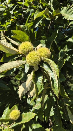
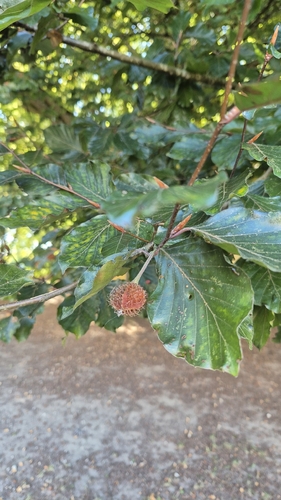
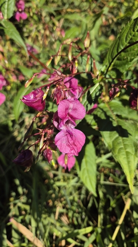


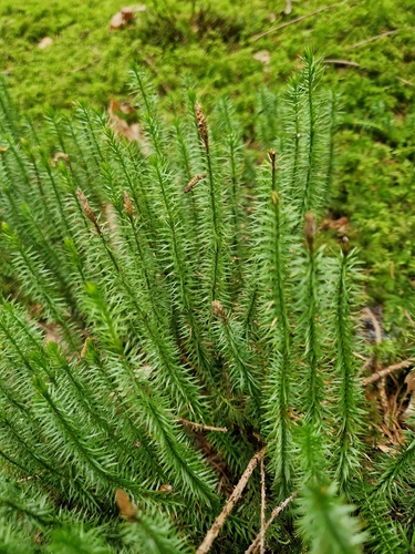


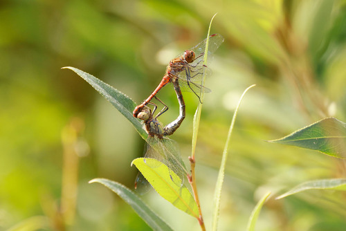
Research-grade observations from iNaturalist (within ~15 mi).
Events
Gallery
Official Identifiers
Destatis — German Federal Statistical Office
- AGS
- 09174111
- Population (Wikidata)
- 8,131
- Wikidata
- Q443815
Amtlicher Gemeindeschlüssel (AGS) via Wikidata P439
Sources
- • Wikipedia
- • Wikidata
- • iNaturalist
- • Open-Meteo / sunrise-sunset.org
- • Wikipedia Pageviews API
- • Open Library
- • Wikidata SPARQL (CC0) — population, area, elevation, inception, head of government, Commons image
- • Destatis — German Federal Statistical Office — Amtlicher Gemeindeschlüssel (AGS) via Wikidata P439