Browse / Germany / Bayern / Augsburg
Augsburg
Bayerncity

Augsburg
Total population
301,033
Demographic figures from Destatis. Overview below cites Wikipedia and may reference a different year.
City facts
Facts from Wikidata (CC0).
Overview
Augsburg is a city in the Bavarian part of Swabia, Germany, around 50 kilometres (31 mi) west of the Bavarian capital Munich. It is a university town and the regional seat of the Regierungsbezirk Swabia with a well-preserved Altstadt. Augsburg is an urban district and home to the institutions of the Landkreis Augsburg. It is the third-largest city in Bavaria, with a population of 304,000 and 885,000 in its metropolitan area.
Read more on WikipediaHistory & geography
History
The city of Augsburg was founded in 15 BC on the orders of Emperor Augustus. Emperor Augustus conducted extensive military campaigns and established administrative settlements. The Roman colony that became Augsburg was known as Augusta Vindelicorum, meaning "the Augustan city of the Vindelici". The settlement was established at the convergence of the Alpine rivers Lech and Wertach. In 120 AD Augsburg became the administrative capital of the Roman province of Raetia. Augsburg was sacked by the Huns in the fifth century AD, by Charlemagne in the eighth century and by Welf I, Duke of Bavaria in the 11th century. Augsburg was granted the status of a Free Imperial City on 9 March 1276, and from then until 1803, it was independent of its former overlord, the Prince-Bishop of Augsburg. Frictions between the city-state and the prince-bishops were to remain frequent, however, particularly after Augsburg became Protestant and curtailed the rights and freedoms of Catholics. With its strategic location at an intersection of trade routes to Italy, the Free Imperial City of Augsburg became a major trading centre. Augsburg produced large quantities of woven goods, cloth, and textiles. Augsburg became the base of two banking families that rose to great prominence, the Fuggers and the Welsers. The Fugger family donated the Fuggerei part of the city devoted to housing for needy citizens in 1516, which remains in use today. In 1530, the Augsburg Confession was presented to the Holy Roman Emperor at the Diet of Augsburg. Following the Peace of Augsburg in 1555, after which the rights of religious minorities in imperial cities were to be legally protected, a mixed Catholic–Protestant city council presided over a majority Protestant population; see Paritätische Reichsstadt. Augsburg's…
Geography
Augsburg lies at the convergence of the Alpine rivers Lech and Wertach and on the Singold. The oldest part of the city and the southern quarters are on the northern foothills of a high terrace, which has emerged between the steep rim of the hills of Friedberg in the east and the high hills of the west. In the south extends the Lechfeld, an outwash plain of the post ice age between the rivers Lech and Wertach, where rare primeval landscapes were preserved. The Augsburg city forest and the Lech valley heaths today rank among the most species-rich middle European habitats. Augsburg borders the nature park Augsburg Western Woods, a large forestland. The city itself is also heavily verdant. As a result, in 1997, Augsburg was the first German city to win the Europe-wide contest Entente Florale for Europe's greenest and most livable city. Augsburg is surrounded by the counties Landkreis Augsburg in the west and Aichach-Friedberg in the east. The suburbs of Augsburg are Friedberg, Königsbrunn, Stadtbergen, Neusäß, Gersthofen, Diedorf. Neighbouring municipalities: Rehling, Affing, Kissing, Mering, Merching, Bobingen, Gessertshausen.
Excerpted from the corresponding Wikipedia article (CC BY-SA).
Geography
Coordinates & boundaries from the US Census TIGER/Line shapefiles.
Climate
Air quality
Walkability
Amenities nearby
Wildlife & biodiversity
Earthquake history
Most recent
- M 2.7 — 2008-07-032 km ESE of Oberhaching, Germany
- M 2.7 — 2008-06-143 km S of Diedorf, Germany
- M 3.8 — 2004-07-225 km SSE of Lenggries, Germany
- M 2.5 — 2002-08-225 km SSE of Rain, Germany
Events from the USGS Earthquake Catalog (global) (FDSN Event Web Service).
Photos
Sights & places nearby
Notable people from here


People born within ~10 km, from Wikidata (CC0). Click any name for their Wikipedia article.
Nearby places in Bayern
Geography & sun
Elevation, sunrise/sunset and daylight from Open-Meteo. Solar climatology from NASA POWER.
Nearby airports
Public attention
Pageview totals from the Wikimedia Pageviews API.
Books about Augsburg
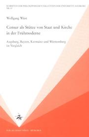
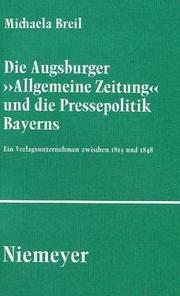
Search results from Open Library.
Recent natural events nearby
Ground air-quality sensors
Recently spotted species
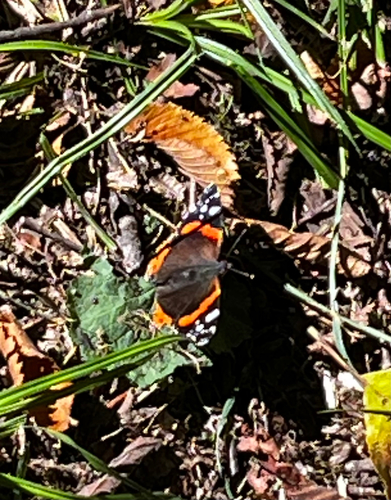
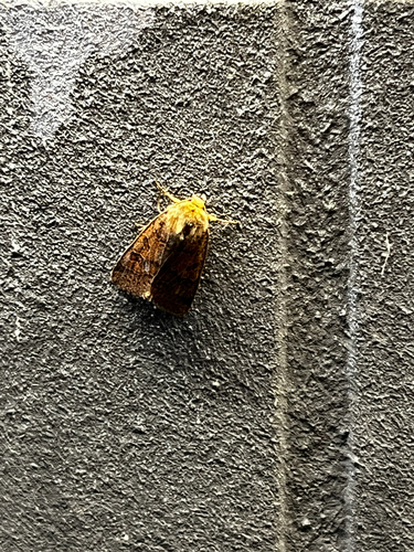
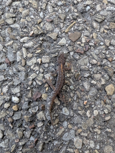
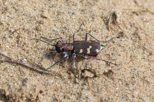

Research-grade observations from iNaturalist (within ~15 mi).
Events
Notable, recurring, and historical events associated with Augsburg, sourced from Wikidata.
- Q133092353Sep 27, 1993recurring event edition
- Q17354790Jan 1, 1985sporting event
- Q104905075festival
- Q126720662planned event
- Q133092260Sep 20, 1955recurring event edition
Source: Wikidata (CC0).
Gallery
Geotagged photos within ~6 miles of Augsburg, from Wikimedia Commons contributors.


Photos via Wikimedia Commons — see each image page for license & attribution.
Official Identifiers
Destatis — German Federal Statistical Office
- AGS
- 09761000
- Population (Wikidata)
- 303,150
- Wikidata
- Q2749
Amtlicher Gemeindeschlüssel (AGS) via Wikidata P439
Sources
- • Wikipedia
- • Wikimedia Commons
- • Wikidata
- • USGS Earthquake Catalog (global feed)
- • iNaturalist
- • Open-Meteo / sunrise-sunset.org
- • Wikipedia Pageviews API
- • Open Library
- • Wikidata SPARQL (CC0) — population, area, elevation, inception, head of government, Commons image
- • Destatis — German Federal Statistical Office — Amtlicher Gemeindeschlüssel (AGS) via Wikidata P439