Browse / Germany / Baden-Württemberg / Bad Buchau
Bad Buchau
Baden-Württembergtown

Bad Buchau
Total population
4,070
Demographic figures from Destatis. Overview below cites Wikipedia and may reference a different year.
City facts
Facts from Wikidata (CC0).
Overview
Bad Buchau is a small town in the district of Biberach, Baden-Württemberg, Germany with about 4,000 inhabitants. It is situated near Lake Federsee, which is separated from the town by a wide reed belt.
Read more on WikipediaHistory & geography
History
*AD 770 – Buchau Abbey was founded in by the Frankish Count Warin and his wife Adelindis von Buchau, from whom the present "Adelindisfest" takes its name. The church still serves as the parish church. *819 and 857 – Grants for the Abbey are received from the Frankish Kings Louis the Pious and Louis the German respectively. *902 – The three sons of countess Adelindis, Gerhard, Beringer and Reginolf, are killed when attempting to abduct their sister, the Abbess Adelindis, from Buchau's Abbey in order to get her married. Countess Adelindis joins the Abbey in order to atone for her sons' deed and is to this day admired as a great Benefactrix and Saint of the people. She rests together with her slain sons in the crypt of the collegiate church. *1014 or 1022 – A mint and market is mentioned by the Abbey. Buchau appears for the first time as a "Freie Reichsstadt" (Free imperial city). *1417 – The Abbey is declared a secular convent and accepts daughters of the Swabian nobility. *1577 – The Free Imperial City hosts a Jewish Community, which quickly gains prominence under the protection of the city. *1650 – A Jewish cemetery is constructed. *1730 and 1837 – Erection of a synagogue for the growing Jewish community. *1774–1776 – The style of the collegiate church is transformed from Gothic to French classicism. *1787 and 1808 – Lake Federsee's level is lowered, yet hopes to gain farm land in this manner are dashed, though roads can now be constructed. *1802/1803 – Both the Imperial Abbey and the Free Imperial City lose their independence during the course of the German mediatisation. They become the property of the Prince of Thurn and Taxis by decree of the Regensburg parliament "Reichstag von Regensburg". *1806 – Buchau becomes a township of the kingdom of Württemberg. *1807 –…
Excerpted from the corresponding Wikipedia article (CC BY-SA).
Geography
Coordinates & boundaries from the US Census TIGER/Line shapefiles.
Climate
Air quality
Walkability
Amenities nearby
Wildlife & biodiversity
Most-observed species
- Eurasian Blue TitCyanistes caeruleus (Linnaeus, 1758) · Aves616
- White StorkCiconia ciconia (Linnaeus, 1758) · Aves614
- Carrion CrowCorvus corone Linnaeus, 1758 · Aves610
- Eurasian BlackbirdTurdus merula Linnaeus, 1758 · Aves594
- Great TitParus major Linnaeus, 1758 · Aves573
- Red KiteMilvus milvus (Linnaeus, 1758) · Aves448
- Mute SwanCygnus olor (J.F.Gmelin, 1789) · Aves447
- MallardAnas platyrhynchos Linnaeus, 1758 · Aves446
Citizen-science & research observations from the Global Biodiversity Information Facility (GBIF).
Earthquake history
Most recent
- M 3.4 — 2022-10-16Baden-Wurttemberg, Germany
- M 4 — 2022-07-092 km NNE of Grosselfingen, Germany
- M 3.6 — 2013-07-203 km ESE of Andwil, Switzerland
- M 3.1 — 2008-12-253 km NNW of Saulgau, Germany
- M 2.5 — 2008-12-162 km S of Niederbüren, Switzerland
- M 3.1 — 2008-12-161 km SSW of Niederbüren, Switzerland
Events from the USGS Earthquake Catalog (global) (FDSN Event Web Service).
Photos
Sights & places nearby
Notable people from here


People born within ~10 km, from Wikidata (CC0). Click any name for their Wikipedia article.
Nearby places in Baden-Württemberg
- Steinhausen4.7 mi away
- Stafflangen4.8 mi away
- Mittelbiberach6.6 mi away · pop. 3,862
- Ingoldingen6.7 mi away · pop. 2,693
- Birkenhard8.3 mi away
- Rißegg9 mi away
- Schweinhausen9.1 mi away
- Bergerhausen9.6 mi away
- Hundersingen9.7 mi away
- Alberweiler9.7 mi away · pop. 788
- Mettenberg10.4 mi away
- Munderkingen11.9 mi away · pop. 5,142
Geography & sun
Elevation, sunrise/sunset and daylight from Open-Meteo. Solar climatology from NASA POWER.
Nearby airports
Public attention
Pageview totals from the Wikimedia Pageviews API.
Books about Bad Buchau
Search results from Open Library.
Recent natural events nearby
Ground air-quality sensors
Recently spotted species
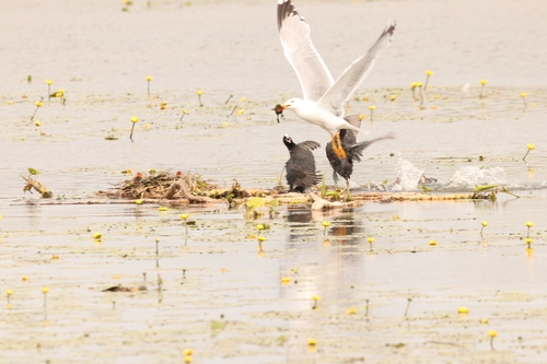
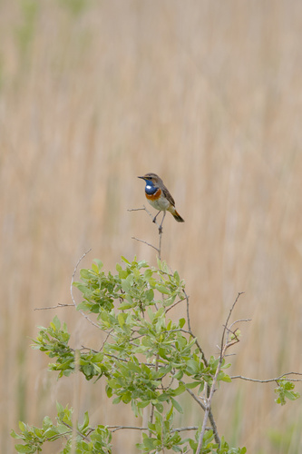
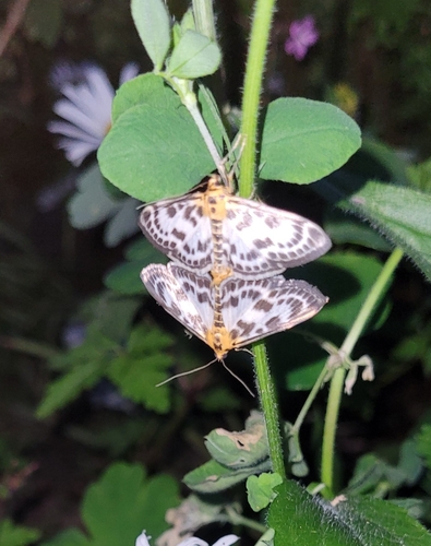

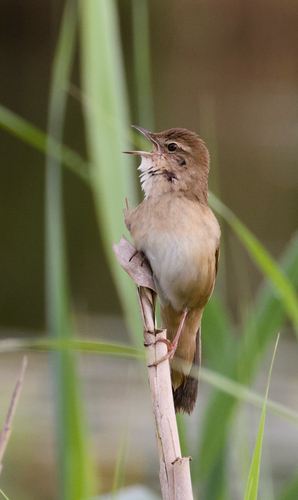
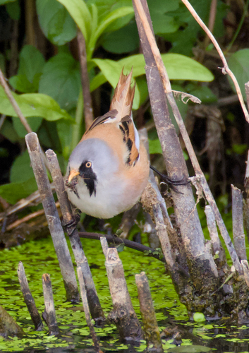
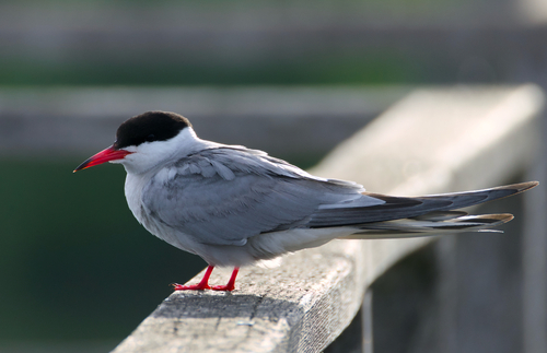
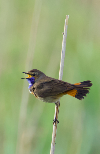
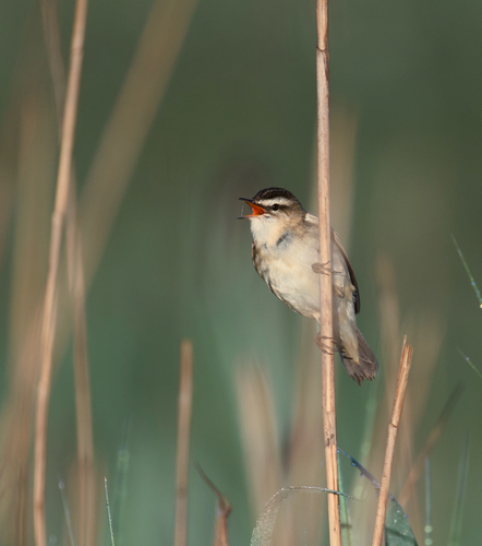
Research-grade observations from iNaturalist (within ~15 mi).
Events
Gallery
Geotagged photos within ~6 miles of Bad Buchau, from Wikimedia Commons contributors.

.jpg)

.jpg)
.jpg)


.jpg)
.jpg)


.jpg)
_und_Gastst%C3%A4tte_Radstube_und_Bar_14_-_panoramio.jpg)


Photos via Wikimedia Commons — see each image page for license & attribution.
Official Identifiers
Destatis — German Federal Statistical Office
- AGS
- 08426013
- Population (Wikidata)
- 4,710
- Wikidata
- Q496489
Amtlicher Gemeindeschlüssel (AGS) via Wikidata P439
Sources
- • Wikipedia
- • Wikimedia Commons
- • Wikidata
- • USGS Earthquake Catalog (global feed)
- • GBIF (Global Biodiversity Information Facility)
- • iNaturalist
- • Open-Meteo / sunrise-sunset.org
- • Wikipedia Pageviews API
- • Open Library
- • Destatis — German Federal Statistical Office — Amtlicher Gemeindeschlüssel (AGS) via Wikidata P439