Browse / Germany / Bayern / Bad Staffelstein
Bad Staffelstein
Bayerntown

Bad Staffelstein
Total population
10,662
Demographic figures from Destatis. Overview below cites Wikipedia and may reference a different year.
City facts
Facts from Wikidata (CC0).
Overview
Bad Staffelstein is a town in the Bavarian Administrative Region of Upper Franconia in Germany. It has around 10,000 inhabitants.
Read more on WikipediaHistory & geography
History
Staffelstein was first mentioned around 800 and received its town status in 1130. In 1846, with the construction of the Ludwig South-North Railway, the town was connected to the Bavarian rail network. The status of spa was awarded in 2001. Kaider is known for its stone industry, as well as for St. Mary's Chapel. Kaider was earlier known as Dabermannsdorf; the change to the name Kaider has been proven to have taken place no later than 1542. Kaider was first mentioned on 12 December 1299. On that day, Albert von Giech, knight of Bamberg, sold with the agreement of his wife Elisabeth and his brother Kunimund, a canon of Bamberg Cathedral, all of his lands in Nuweseze (Neuses am Main), Obristfeld, and Dabermannsdorf (now Kaider) to Langheim Abbey. The selling price was 126 Pfund Bamberg Denars. Schwabthal lies 7 km east of Bad Staffelstein and has around 200 residents. The District Reform of 1972 brought many changes to Staffelstein. Except for the District Office all other central administrations were dissolved. With the Municipal Territory Reform in 1978, the loss of administrative power and centrality became more balanced.
Geography
The municipal territory of Bad Staffelstein extends on both banks of the Main river. It is located northeast of Bamberg in the district of Lichtenfels. Bad Staffelstein consists of the following Stadtteile: * Altenbanz * End * Frauendorf * Grundfeld * Gößmitz * Hausen * Horsdorf * Kaider * Krögelhof * Kümmersreuth * Loffeld * Nedensdorf * Neubanz * Püchitz * Romansthal * Schönbrunn * Schwabthal * Serkendorf * Stadel * Stublang * Unnersdorf * Unterzettlitz * Uetzing * Basilica of the Vierzehnheiligen * Weisbrem * Wiesen * Wolfsdorf * Zilgendorf
Excerpted from the corresponding Wikipedia article (CC BY-SA).
Geography
Coordinates & boundaries from the US Census TIGER/Line shapefiles.
Climate
Air quality
Walkability
Amenities nearby
Wildlife & biodiversity
Earthquake history
Photos
Sights & places nearby
Notable people from here
Geography & sun
Elevation, sunrise/sunset and daylight from Open-Meteo. Solar climatology from NASA POWER.
Nearby airports
Public attention
Pageview totals from the Wikimedia Pageviews API.
Books about this place
Recent natural events nearby
Ground air-quality sensors
Recently spotted species
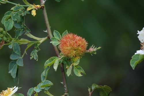
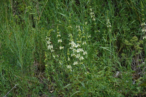
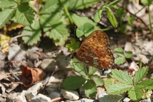
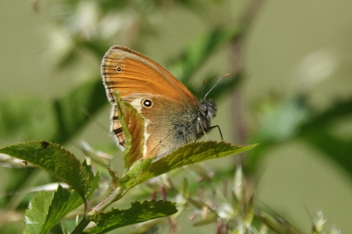
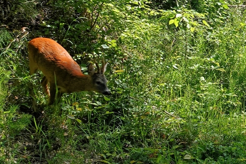
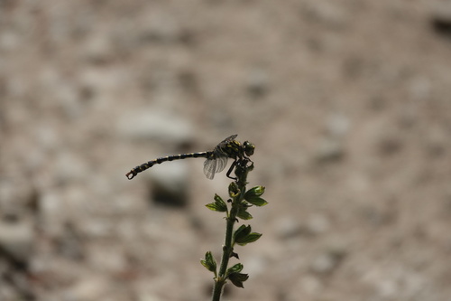
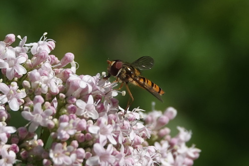

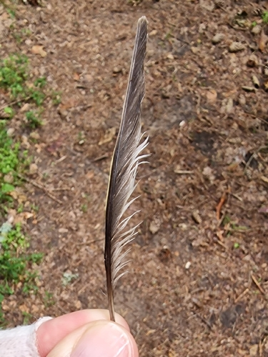
Research-grade observations from iNaturalist (within ~15 mi).
Events
Gallery
Official Identifiers
Destatis — German Federal Statistical Office
- AGS
- 09478165
- Population (Wikidata)
- 10,651
- Wikidata
- Q504634
Amtlicher Gemeindeschlüssel (AGS) via Wikidata P439
Sources
- • Wikipedia
- • Wikidata
- • iNaturalist
- • Open-Meteo / sunrise-sunset.org
- • Wikipedia Pageviews API
- • Wikidata SPARQL (CC0) — population, area, elevation, inception, head of government, Commons image
- • Destatis — German Federal Statistical Office — Amtlicher Gemeindeschlüssel (AGS) via Wikidata P439