Browse / Germany / Baden-Württemberg / Bad Waldsee
Bad Waldsee
Baden-Württembergtown

Bad Waldsee
Total population
19,596
Demographic figures from Destatis. Overview below cites Wikipedia and may reference a different year.
City facts
Sister cities
Facts from Wikidata (CC0).
Overview
Bad Waldsee is a town in Upper Swabia in Baden-Württemberg, Germany. It is part of the district of Ravensburg. It is situated 20 km south of Biberach an der Riß, and 20 km northeast of Ravensburg. The town has a historic old city with landmarks and pedestrian zone. Bad Waldsee is the district center for the Bodensee-Oberschwaben district and is the seat of the townships of Bad Waldsee, Aulendorf and Bergatreute.
Read more on WikipediaHistory & geography
History
Waldsee was first documented in 926 in the Weissenburger Codex, which mentions the destruction caused by the Hungarians during their invasion of southern Germany. It says "In Walahsé a royal estate was destroyed by the heathens. All it has left is two lots of farmland, 60 carts of hay, a mill and a church." The town was granted city-rights in 1298. Authority over the city was exercised by the "Lords of Waldsee", a title the city soon sold to the Habsburg Duke of Austria. However, in 1386 the House of Habsburg pledged the city of Waldsee to the steward Johann von Waldburg. In 1406 the pledge lordship (Pfandherrschaft) of Waldburg was renewed, when the city of Waldsee, together with the towns of Mengen, Riedlingen, Munderkingen and Saulgau, were finally sold off by the House of Habsburg. From this time these cities have been known together as the "fünf Donaustädte" (Five Danube Towns). The House of Waldburg stayed in control of the towns until Napoleon established a new European order through war and politics, which made Waldsee part of the Kingdom of Württemberg in 1806. In 1807 Waldsee was elevated the status of township, and the city grew in prominence during this period. In 1918 the nickel and copper coins became scarce because of the First World War. That is why many communities were forced to mint their own coins. The council of Waldsee consulted on March 13, 1918 the minting of their own coins. It was decided to issue coins in sizes of 50 Pfennig, 10 Pfennig and 5 Pfennig. They could be exchanged until May 1, 1922. In 1923, when inflation reached its peak, the city printed its own money in bills. On August 26, 1923, the local council decided to issue certificates worth 500,000, 1 million Mark and 2 million marks. Later it was decided to print more certificates…
Geography
Bad Waldsee is located in Upper Swabia north of the Altdofer forest. The old city is situated on an isthmus between two lakes—the Stadtsee on the east connects to Urbach through a channel in the south, and the smaller Schlosssee on the west, which empties into the Stadtsee from the direction of Pfaffenbach.
Excerpted from the corresponding Wikipedia article (CC BY-SA).
Geography
Coordinates & boundaries from the US Census TIGER/Line shapefiles.
Climate
10-year averages from ERA5 reanalysis (Open-Meteo).
Air quality
Walkability
Amenities nearby
Wildlife & biodiversity
Most-observed species
- Eurasian BlackbirdTurdus merula Linnaeus, 1758 · Aves602
- Great TitParus major Linnaeus, 1758 · Aves596
- Eurasian Blue TitCyanistes caeruleus (Linnaeus, 1758) · Aves526
- Common ChaffinchFringilla coelebs Linnaeus, 1758 · Aves487
- Carrion CrowCorvus corone Linnaeus, 1758 · Aves468
- House SparrowPasser domesticus (Linnaeus, 1758) · Aves454
- Red KiteMilvus milvus (Linnaeus, 1758) · Aves425
- Eurasian Tree SparrowPasser montanus (Linnaeus, 1758) · Aves415
Citizen-science & research observations from the Global Biodiversity Information Facility (GBIF).
Earthquake history
Most recent
- M 4.2 — 2026-04-264 km NNW of Quarten, Switzerland
- M 3.4 — 2022-10-16Baden-Wurttemberg, Germany
- M 3.8 — 2022-09-012 km WSW of Sevelen, Switzerland
- M 4 — 2022-07-092 km NNE of Grosselfingen, Germany
- M 3.6 — 2020-08-085 km SE of Gramais, Austria
- M 3.8 — 2018-02-014 km N of Innerbraz, Austria
Events from the USGS Earthquake Catalog (global) (FDSN Event Web Service).
Photos
Sights & places nearby
Notable people from here


People born within ~10 km, from Wikidata (CC0). Click any name for their Wikipedia article.
Geography & sun
Elevation, sunrise/sunset and daylight from Open-Meteo. Solar climatology from NASA POWER.
Nearby airports
Public attention
Pageview totals from the Wikimedia Pageviews API.
Books about this place
Recent natural events nearby
Ground air-quality sensors
Recently spotted species
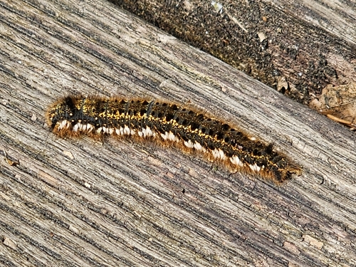
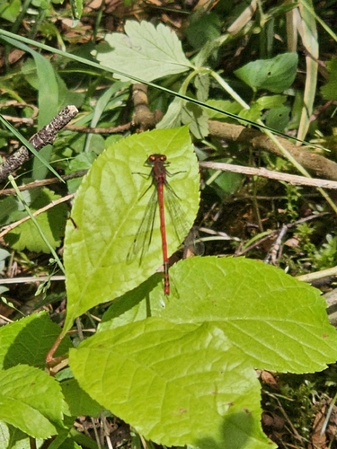
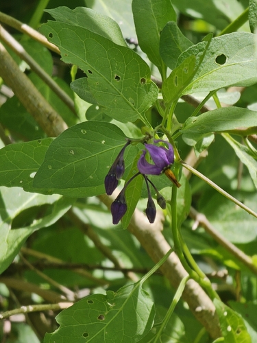
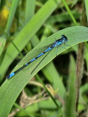
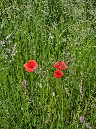
Research-grade observations from iNaturalist (within ~15 mi).
Events
Gallery
Geotagged photos within ~6 miles of Bad Waldsee, from Wikimedia Commons contributors.
 0 mi
0 mi.jpg) 0 mi
0 mi.jpg) 0 mi
0 mi.jpg) 0 mi
0 mi 0 mi
0 mi.jpeg) 0 mi
0 mi 0 mi
0 mi.jpg) 0 mi
0 mi 0.1 mi
 0.1 mi
 0.1 mi
 0.1 mi
 0.1 mi
.jpg) 0.1 mi
0.1 mi 0.1 mi
 0.1 mi
 0.1 mi
.jpg) 0.1 mi
0.1 mi 0.1 mi
 0.1 mi
 0.1 mi
 0.1 mi
.jpeg) 0.1 mi
0.1 mi.jpeg) 0.1 mi
0.1 miPhotos via Wikimedia Commons — see each image page for license & attribution.
Official Identifiers
Destatis — German Federal Statistical Office
- AGS
- 08436009
- Population (Wikidata)
- 20,786
- Wikidata
- Q515423
Amtlicher Gemeindeschlüssel (AGS) via Wikidata P439
Sources
- • Wikipedia
- • Open-Meteo (ERA5 reanalysis)
- • Wikimedia Commons
- • Wikidata
- • USGS Earthquake Catalog (global feed)
- • GBIF (Global Biodiversity Information Facility)
- • iNaturalist
- • Open-Meteo / sunrise-sunset.org
- • Wikipedia Pageviews API
- • Wikidata SPARQL (CC0) — population, area, elevation, inception, head of government, Commons image
- • Destatis — German Federal Statistical Office — Amtlicher Gemeindeschlüssel (AGS) via Wikidata P439