Browse / Germany / Baden-Württemberg / Baden-Baden
Baden-Baden
Baden-Württembergtown

Baden-Baden
Total population
54,454
Air quality index
Demographic figures from Destatis. Overview below cites Wikipedia and may reference a different year.
City facts
Facts from Wikidata (CC0).
Overview
Baden-Baden is a spa town in the state of Baden-Württemberg, south-western Germany, at the north-western border of the Black Forest mountain range on the small river Oos, ten kilometres east of the Rhine, the France–Germany border, and forty kilometres north-east of Strasbourg, France.
Read more on WikipediaHistory & geography
History
Roman settlement at Baden-Baden has been dated as far back as the emperor Hadrian, but on dubious authority. The known ruins of the Roman bath were rediscovered just below the New Castle in 1847 and date to the reign of Caracalla (AD 210s), who visited the area to relieve his arthritic aches. The facilities were used by the Roman garrison in Strasbourg. The town fell into ruin but its church was first constructed in the 7th century. By 1112, it was the seat of the Margraviate of Baden. The Lichtenthal Convent (') was founded in 1254. The margraves initially used Hohenbaden Castle (the Old Castle, '), whose ruins still occupy the summit above the town, but they completed and moved to the New Castle () in 1479. The Margraviate was divided in 1535, with Baden-Baden becoming the capital of the Margraviate of Baden-Baden, while the other portion became the Margraviate of Baden-Durlach. The Baden-Baden witch trials, an investigating encompassing the entire territory and resulting in hundreds of verdicts, took place in 1627–1631. Baden suffered severely during the Thirty Years' War, particularly at the hands of the French, who plundered it in 1643. They returned to occupy the city in 1688 at the onset of the Nine Years' War, burning it to the ground the next year. The margravine Sibylla rebuilt the New Castle in 1697, but the margrave Louis William removed his seat to Rastatt in 1706. The Stiftskirche was rebuilt in 1753 and houses the tombs of several of the margraves. The town began its recovery in the late 18th century, serving as a refuge for émigrés from the French Revolution. The town was frequented during the Second Congress of Rastatt in 1797–99 and became popular after the visit of the Prussian queen in the early 19th century. She came for medicinal reasons,…
Geography
Baden-Baden lies in a valley of the Northern Black Forest in southwestern Germany. The western districts lie within the Upper Rhine Plain. The highest mountain of Baden-Baden is the Badener Höhe (), which is part of the Black Forest National Park. The old town lies on the side of a hill on the right bank of the Oos. Since the 19th century, the principal resorts have been located on the other side of the river. There are 29 natural springs in the area, varying in temperature from . The water is rich in salt and flows from artesian wells under Florentine Hill at a rate of 341 litres (90 gallons) per minute and is conveyed through pipes to the town's baths.
Excerpted from the corresponding Wikipedia article (CC BY-SA).
Geography
Coordinates & boundaries from the US Census TIGER/Line shapefiles.
Climate
Air quality
Current readings from Open-Meteo Air Quality API (Copernicus CAMS European reanalysis).
Walkability
Amenities nearby
Wildlife & biodiversity
Most-observed species
- Zoropsid spiderZoropsis spinimana (Dufour, 1820) · Arachnida1,772
- Eurasian BlackbirdTurdus merula Linnaeus, 1758 · Aves760
- Great TitParus major Linnaeus, 1758 · Aves754
- Common ChaffinchFringilla coelebs Linnaeus, 1758 · Aves674
- Eurasian Blue TitCyanistes caeruleus (Linnaeus, 1758) · Aves654
- Carrion CrowCorvus corone Linnaeus, 1758 · Aves650
- European RobinErithacus rubecula (Linnaeus, 1758) · Aves639
- Common Wood-PigeonColumba palumbus Linnaeus, 1758 · Aves523
Citizen-science & research observations from the Global Biodiversity Information Facility (GBIF).
Earthquake history
Most recent
- M 3.4 — 2022-10-16Baden-Wurttemberg, Germany
- M 4 — 2022-07-092 km NNE of Grosselfingen, Germany
- M 4.1 — 2021-06-262 km SE of Hœrdt, France
- M 2.5 — 2008-12-122 km ESE of Nehren, Germany
- M 2.8 — 2008-11-251 km S of Steinmauern, Germany
- M 2.7 — 2008-07-091 km WSW of Dußlingen, Germany
Events from the USGS Earthquake Catalog (global) (FDSN Event Web Service).
Photos
Sights & places nearby
Notable people from here


People born within ~10 km, from Wikidata (CC0). Click any name for their Wikipedia article.
Nearby places in Baden-Württemberg
Geography & sun
Elevation, sunrise/sunset and daylight from Open-Meteo. Solar climatology from NASA POWER.
Nearby airports
Public attention
Pageview totals from the Wikimedia Pageviews API.
Books about Baden-Baden

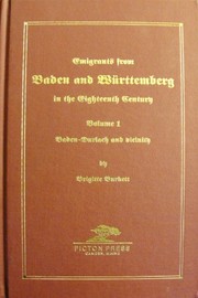
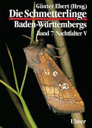
Search results from Open Library.
Recent natural events nearby
Ground air-quality sensors
Recently spotted species
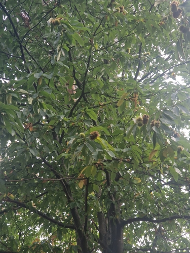
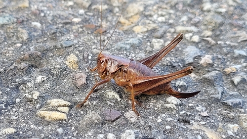
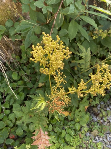
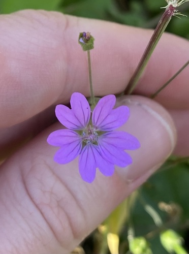
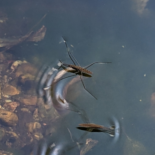
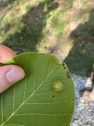
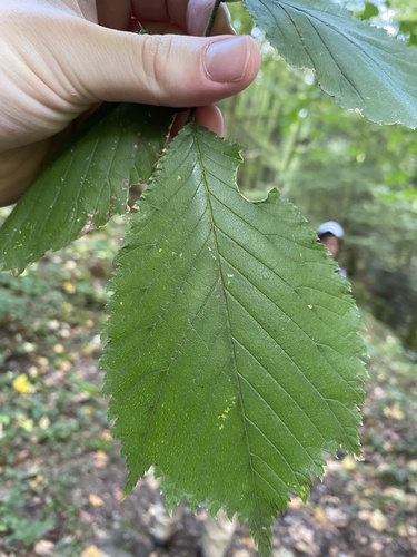
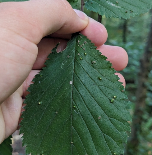
Research-grade observations from iNaturalist (within ~15 mi).
Events
Gallery
Official Identifiers
Destatis — German Federal Statistical Office
- AGS
- 08211000
- Population (Wikidata)
- 57,420
- Wikidata
- Q4100
Amtlicher Gemeindeschlüssel (AGS) via Wikidata P439
Sources
- • Wikipedia
- • Wikidata
- • Open-Meteo Air Quality (CAMS)
- • USGS Earthquake Catalog (global feed)
- • GBIF (Global Biodiversity Information Facility)
- • iNaturalist
- • Open-Elevation
- • Open-Meteo / sunrise-sunset.org
- • Wikipedia Pageviews API
- • Open Library
- • Wikidata SPARQL (CC0) — population, area, elevation, inception, head of government, Commons image
- • Destatis — German Federal Statistical Office — Amtlicher Gemeindeschlüssel (AGS) via Wikidata P439