Browse / Germany / Brandenburg / Beeskow
Beeskow
Brandenburgtown

Beeskow
Total population
7,964
Demographic figures from Destatis. Overview below cites Wikipedia and may reference a different year.
City facts
Sister cities
Facts from Wikidata (CC0).
Overview
Beeskow is a town in Brandenburg, in eastern Germany, and capital of the Oder-Spree district. It is situated on the river Spree, 30 km southwest of Frankfurt an der Oder.
Read more on WikipediaHistory & geography
History
In 1518 the town was purchased by the Diocese of Lubusz, and it was the place of death of the last bishop in 1555. The town was a fief of the Kingdom of Bohemia until 1742, when it was annexed by the Kingdom of Prussia. From 1815 to 1947, it was part of the Province of Brandenburg. One of the main escape routes for insurgents of the unsuccessful Polish November Uprising from partitioned Poland to the Great Emigration led through the town. After World War II, Beeskow was incorporated into the State of Brandenburg from 1947 to 1952 and the Bezirk Frankfurt of East Germany from 1952 to 1990. Since 1990, Beeskow is again part of Brandenburg.
Excerpted from the corresponding Wikipedia article (CC BY-SA).
Geography
Coordinates & boundaries from the US Census TIGER/Line shapefiles.
Climate
Air quality
Walkability
Amenities nearby
Wildlife & biodiversity
Earthquake history
Photos
Sights & places nearby
Notable people from here


People born within ~10 km, from Wikidata (CC0). Click any name for their Wikipedia article.
Nearby places in Brandenburg
Geography & sun
Nearby airports
Public attention
Books about this place
Recent natural events nearby
Ground air-quality sensors
Recently spotted species
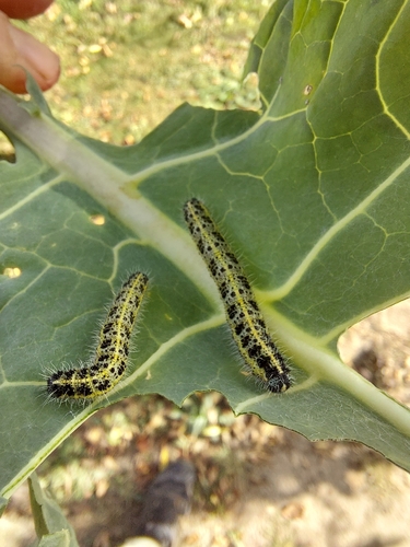

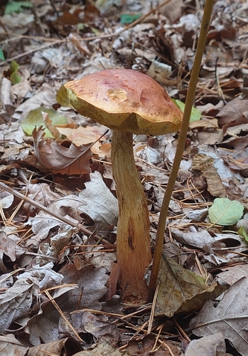
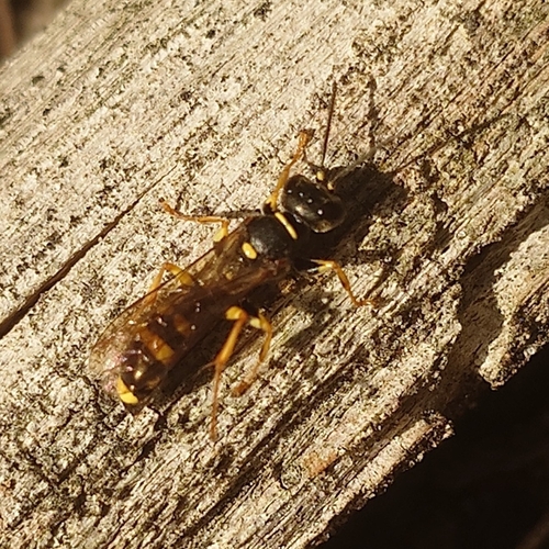


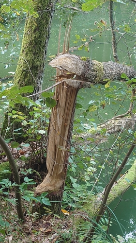
Research-grade observations from iNaturalist (within ~15 mi).
Events
Gallery
Official Identifiers
Destatis — German Federal Statistical Office
- AGS
- 12067036
- Population (Wikidata)
- 8,272
- Wikidata
- Q572615
Amtlicher Gemeindeschlüssel (AGS) via Wikidata P439
Sources
- • Wikipedia
- • Wikidata
- • iNaturalist
- • Wikidata SPARQL (CC0) — population, area, elevation, inception, head of government, Commons image
- • Destatis — German Federal Statistical Office — Amtlicher Gemeindeschlüssel (AGS) via Wikidata P439