Browse / Germany / Baden-Württemberg / Benningen am Neckar
Benningen am Neckar
Baden-Württembergvillage

Benningen am Neckar
Total population
5,942
Air quality index
Demographic figures from Destatis. Overview below cites Wikipedia and may reference a different year.
City facts
Facts from Wikidata (CC0).
Overview
Benningen am Neckar is a municipality in the district of Ludwigsburg in Baden-Württemberg in Germany.
Read more on WikipediaHistory & geography
History
By 85 AD, the Neckar-Odenwald line was the frontier of the Roman Empire. The Romans built the Limes Germanicus to secure this border. Along the border they built fortifications in regular distances, which included a small castrum on the south-eastern edge of today's village. The mouth of the river Murr into the river Neckar played probably a role towards the choice of the site's strategic location. Around 150 AD the border and the fort were moved to the east towards Murrhardt, but a civilian settlement remained in place. By 260 AD, the Alemanni had displaced the Romans and settled in the area. The name Benningen probably derives from the name of the clan leader, who could have been called the Bunno. In 779 the town was first mentioned as Bunninga, when the monastery of Fulda obtained some property there. Other landowners were the Lorsch Abbey and the Bishopric of Speyer. In the year 1351 and finally in 1497 the community passed to Württemberg and belonged to the Office of Marbach. From 1718 the newly established city of Ludwigsburg became the new center of the region, and so Benningen was reclassified in 1762 as part of the Ludwigsburg district. In 1579 the school principal of the grammar school in neighboring Marbach, Simon Studion, discovered Roman ruins and led an excavation. Systematic archaeological excavations of the Roman castrum and town were made by General Edward of Kallee in the 19th century, who had recognised its strategic importance based on military considerations. His finds are now exhibited around the new City Hall, and inside the City Hall itself there is a Roman museum. Close by were found the remains of a Jupiter Column, which were typically crowned with a statue of Jupiter, usually on horseback, trampling down a Giant, often depicted as a…
Excerpted from the corresponding Wikipedia article (CC BY-SA).
Geography
Coordinates & boundaries from the US Census TIGER/Line shapefiles.
Climate
Air quality
Current readings from Open-Meteo Air Quality API (Copernicus CAMS European reanalysis).
Walkability
Amenities nearby
Wildlife & biodiversity
Most-observed species
- Great TitParus major Linnaeus, 1758 · Aves9,580
- Carrion CrowCorvus corone Linnaeus, 1758 · Aves8,771
- Eurasian BlackbirdTurdus merula Linnaeus, 1758 · Aves8,556
- Eurasian Blue TitCyanistes caeruleus (Linnaeus, 1758) · Aves7,982
- Common BuzzardButeo buteo (Linnaeus, 1758) · Aves7,032
- Common Wood-PigeonColumba palumbus Linnaeus, 1758 · Aves6,619
- Common ChaffinchFringilla coelebs Linnaeus, 1758 · Aves6,381
- Eurasian MagpiePica pica (Linnaeus, 1758) · Aves5,816
Citizen-science & research observations from the Global Biodiversity Information Facility (GBIF).
Earthquake history
Most recent
- M 3.4 — 2022-10-16Baden-Wurttemberg, Germany
- M 4 — 2022-07-092 km NNE of Grosselfingen, Germany
- M 2.5 — 2008-12-122 km ESE of Nehren, Germany
- M 2.8 — 2008-11-251 km S of Steinmauern, Germany
- M 2.7 — 2008-07-091 km WSW of Dußlingen, Germany
- M 2.5 — 2008-07-032 km W of Dußlingen, Germany
Events from the USGS Earthquake Catalog (global) (FDSN Event Web Service).
Photos
Sights & places nearby
Notable people from here


People born within ~10 km, from Wikidata (CC0). Click any name for their Wikipedia article.
Nearby places in Baden-Württemberg
- Kleinbottwar3.2 mi away
- Neckarrems5.5 mi away · pop. 4,765
- Asperg5.6 mi away · pop. 12,842
- Kleinaspach6.2 mi away
- Hegnach6.7 mi away · pop. 5,000
- Weiler zum Stein6.7 mi away
- Erbstetten6.9 mi away
- Großaspach7.3 mi away
- Gronau7.4 mi away
- Nellmersbach8.1 mi away
- Maubach8.5 mi away
- Strümpfelbach8.9 mi away · pop. 925
Geography & sun
Elevation, sunrise/sunset and daylight from Open-Meteo. Solar climatology from NASA POWER.
Nearby airports
Public attention
Pageview totals from the Wikimedia Pageviews API.
Books about this place
Recent natural events nearby
Ground air-quality sensors
Recently spotted species
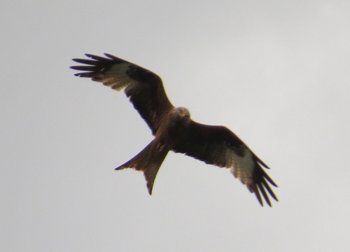
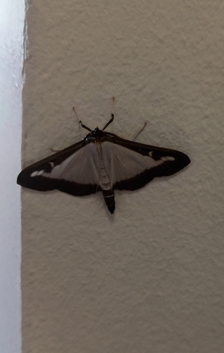
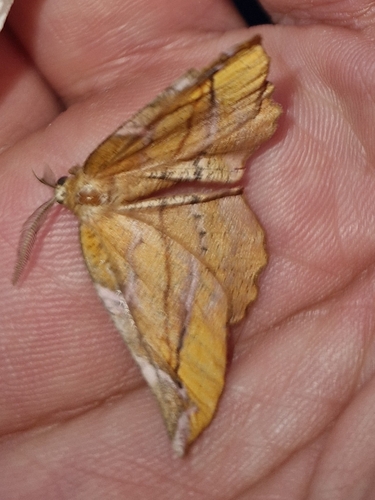
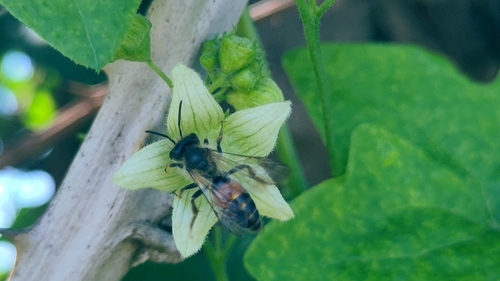
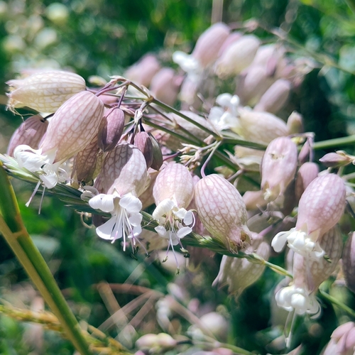
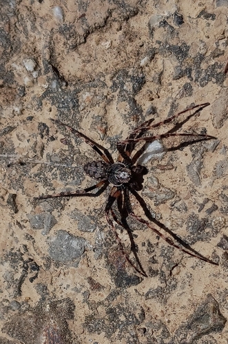
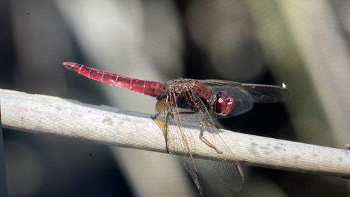
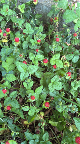
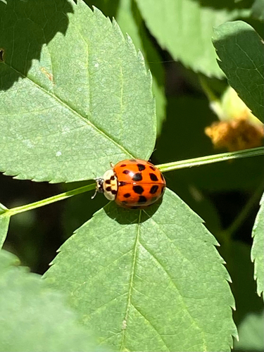
Research-grade observations from iNaturalist (within ~15 mi).
Events
Gallery
Geotagged photos within ~6 miles of Benningen am Neckar, from Wikimedia Commons contributors.
.jpg) 0.1 mi
0.1 mi 0.2 mi
 0.2 mi
 0.2 mi
 0.2 mi
.png) 0.2 mi
0.2 mi.png) 0.2 mi
0.2 mi.jpg) 0.3 mi
0.3 mi 0.3 mi
.jpg) 0.3 mi
0.3 mi 0.4 mi
 0.4 mi
 0.4 mi
.png) 0.4 mi
0.4 mi.png) 0.4 mi
0.4 mi 0.5 mi
 0.5 mi
 0.5 mi
 0.5 mi
 0.5 mi
.png) 0.5 mi
0.5 mi.png) 0.5 mi
0.5 mi 0.6 mi
 0.6 mi
Photos via Wikimedia Commons — see each image page for license & attribution.
Official Identifiers
Destatis — German Federal Statistical Office
- AGS
- 08118006
- Population (Wikidata)
- 6,713
- Wikidata
- Q61653
Amtlicher Gemeindeschlüssel (AGS) via Wikidata P439
Sources
- • Wikipedia
- • Wikimedia Commons
- • Wikidata
- • Open-Meteo Air Quality (CAMS)
- • USGS Earthquake Catalog (global feed)
- • GBIF (Global Biodiversity Information Facility)
- • iNaturalist
- • Open-Meteo / sunrise-sunset.org
- • Wikipedia Pageviews API
- • Wikidata SPARQL (CC0) — population, area, elevation, inception, head of government, Commons image
- • Destatis — German Federal Statistical Office — Amtlicher Gemeindeschlüssel (AGS) via Wikidata P439