Browse / Germany / Berlin / Berlin
Berlin
Berlincity

Berlin
Total population
3,769,962

Founded
1244
Air quality index
Demographic figures from Destatis. Overview below cites Wikipedia and may reference a different year.
City facts
Sister cities
Facts from Wikidata (CC0).
Overview
Berlin is the capital and largest city of Germany. With 3.7 million inhabitants, it has the highest population within its city limits of any city in the European Union (EU). The metropolis is also one of the states of Germany, being the third-smallest state in the country by area. Berlin is surrounded by the state of Brandenburg, bordering Brandenburg's capital Potsdam to the southwest. The urban area of Berlin has a population of 4.5 million, making it the second most populous in Germany after the Ruhr. The Berlin-Brandenburg capital region has around 6.2 million inhabitants and is Germany's second-largest metropolitan region after the Rhine-Ruhr region, as well as the fifth-biggest metropolitan region by GDP in the EU. Berlin is a global city of culture, politics, media and science.
Read more on WikipediaHistory & geography
History
Berlin lies in northeastern Germany, in an area formerly settled by Slavs which thus exhibits many (Germanized) Slavic-derived placenames to this day (see below). The word Berlin also has its roots in the language of the West Slavs, and may be related to the Old Polabian stem ("swamp"). Of Berlin's twelve boroughs, five bear a Slavic-derived name—Pankow, Steglitz-Zehlendorf, Marzahn-Hellersdorf, Treptow-Köpenick and Spandau; furthermore, across the city's 96 neighborhoods, there are 22 which bear a Slavic-rooted name—Altglienicke, Alt-Treptow, Britz, Buch, Buckow, Gatow, Karow, Kladow, Köpenick, Lankwitz, Lübars, Malchow, Marzahn, Pankow, Prenzlauer Berg, Rudow, Schmöckwitz, Spandau, Stadtrandsiedlung Malchow, Steglitz, Tegel and Zehlendorf. The area of what is now Berlin has been settled for millennia. A deer mask, dated to 9,000 BCE, is attributed to the Maglemosian culture. Around 2,000 BCE dense human settlements along the Spree and Havel rivers gave rise to the Lusatian culture. Starting around 500 BCE Germanic tribes settled in a number of villages in the higher situated areas of today's Berlin. After the Semnones left around 200 CE, the Burgundians followed. In the 7th century Slavic tribes, the later known Hevelli and Sprevane, reached the region. In the 12th century the region came under German rule as part of the Margraviate of Brandenburg, founded by Albert the Bear in 1157. The first written records of towns in the area of present-day Berlin date from the late 12th century. Spandau is first mentioned in 1197 and Köpenick in 1209. German merchants founded two settlements in today's city center – Berlin (or Alt-Berlin; at the site of today's Nikolaiviertel) and Cölln (on the island in the Spree now known as Museum Island). 1237 is considered the founding…
Geography
Berlin is in northeastern Germany, in an area of low-lying marshy woodlands with a mainly flat topography, part of the vast Northern European Plain which stretches all the way from northern France to western Russia. The Berliner Urstromtal (an ice age glacial valley), between the low Barnim Plateau to the north and the Teltow plateau to the south, was formed by meltwater flowing from ice sheets at the end of the last Weichselian glaciation. The Spree follows this valley now. In Spandau, a borough in the west of Berlin, the Spree empties into the river Havel, which flows from north to south through western Berlin. The course of the Havel is more like a chain of lakes, the largest being the Tegeler See and the Großer Wannsee. A series of lakes also feeds into the upper Spree, which flows through the Großer Müggelsee in eastern Berlin. Substantial parts of present-day Berlin extend onto the low plateaus on both sides of the Spree Valley. Large parts of the boroughs Reinickendorf and Pankow lie on the Barnim Plateau, while most of the boroughs of Charlottenburg-Wilmersdorf, Steglitz-Zehlendorf, Tempelhof-Schöneberg, and Neukölln lie on the Teltow Plateau. The borough of Spandau lies partly within the Berlin Glacial Valley and partly on the Nauen Plain, which stretches to the west of Berlin. Since 2015, the Arkenberge hills in Pankow at elevation, have been the highest point in Berlin. Through the disposal of construction debris they surpassed Teufelsberg (), which itself was made up of rubble from the ruins of the Second World War. The Müggelberge at elevation is the highest natural point and the lowest is the Spektesee in Spandau, at elevation. Berlin has an oceanic climate (Köppen: Cfb) bordering on a humid continental climate (Dfb). This type of climate features…
Excerpted from the corresponding Wikipedia article (CC BY-SA).
Geography
Coordinates & boundaries from the US Census TIGER/Line shapefiles.
Climate
10-year averages from ERA5 reanalysis (Open-Meteo).
Air quality
Current readings from Open-Meteo Air Quality API (Copernicus CAMS European reanalysis).
Walkability
Amenities nearby
Wildlife & biodiversity
Most-observed species
- Hooded CrowCorvus cornix Linnaeus, 1758 · Aves22,642
- Common Wood-PigeonColumba palumbus Linnaeus, 1758 · Aves15,086
- Great TitParus major Linnaeus, 1758 · Aves14,091
- Eurasian BlackbirdTurdus merula Linnaeus, 1758 · Aves13,564
- House SparrowPasser domesticus (Linnaeus, 1758) · Aves12,099
- Eurasian Blue TitCyanistes caeruleus (Linnaeus, 1758) · Aves11,787
- MallardAnas platyrhynchos Linnaeus, 1758 · Aves10,914
- European StarlingSturnus vulgaris Linnaeus, 1758 · Aves9,490
Citizen-science & research observations from the Global Biodiversity Information Facility (GBIF).
Earthquake history
Events from the USGS Earthquake Catalog (global) (FDSN Event Web Service).
Photos

Neue Wache

Deutsches Historisches Museum - Berlin - geo.hlipp.de - 1738

2875 The New Guard and stree 1890-00337u

Berliner Dom and Fernsehturm - panoramio
.jpg)
Берлин - panoramio (78)
.jpg)
Берлин - panoramio (79)
.jpg)
Берлин - panoramio (80)

Front banner of the "Wir Haben Es Satt!" Demonstration 2019 26
.jpg)
-SilentClimateParade -PeopleClimateMarch 2014 in Berlin (15290532876)
.jpg)
-SilentClimateParade -PeopleClimateMarch 2014 in Berlin (15290530876)

Bushaltestelle Staatsoper Berlin

At Berlin 2024 067
Geo-tagged photos from Wikimedia Commons (CC-licensed; click any photo for license details).
Sights & places nearby
Notable people from here


People born within ~10 km, from Wikidata (CC0). Click any name for their Wikipedia article.
Nearby places in Berlin
- Schmöckwitz-Siedlung13.4 mi away
- Rahnsdorf-Püttberge14.1 mi away
- Fahlenberg15.4 mi away
- Untersteckholz442.2 mi away · pop. 166
- Schelten442.3 mi away · pop. 34
- Wolfisberg442.9 mi away · pop. 179
- Obersteckholz443.3 mi away · pop. 412
- Busswil443.7 mi away · pop. 195
- Rumisberg444 mi away · pop. 471
- Walliswil bei Niederbipp444.3 mi away · pop. 239
- Graben444.5 mi away · pop. 333
- Reisiswil444.6 mi away · pop. 188
Geography & sun
Elevation, sunrise/sunset and daylight from Open-Meteo. Solar climatology from NASA POWER.
Nearby airports
Public attention
Pageview totals from the Wikimedia Pageviews API.
Books about Berlin








Search results from Open Library.
Recent natural events nearby
Ground air-quality sensors
Recently spotted species
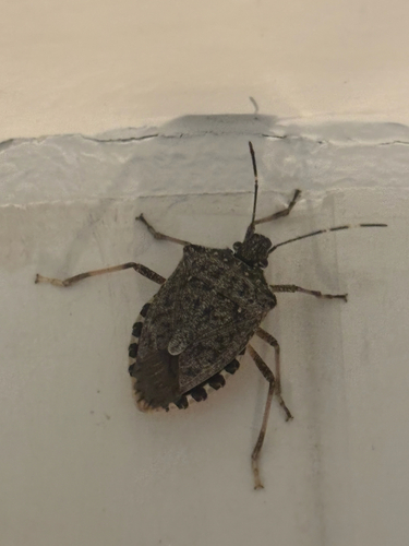
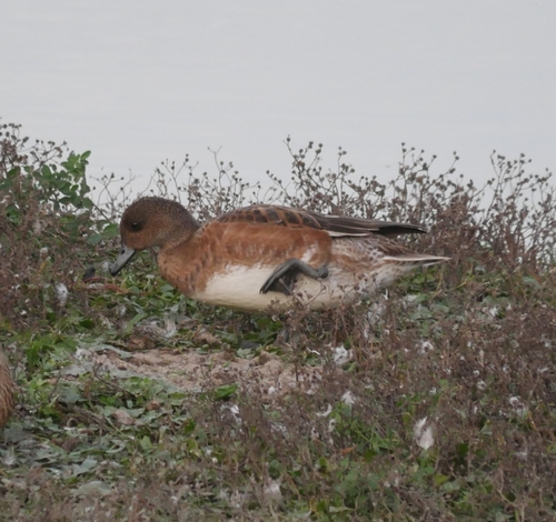
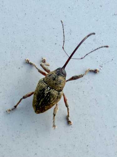
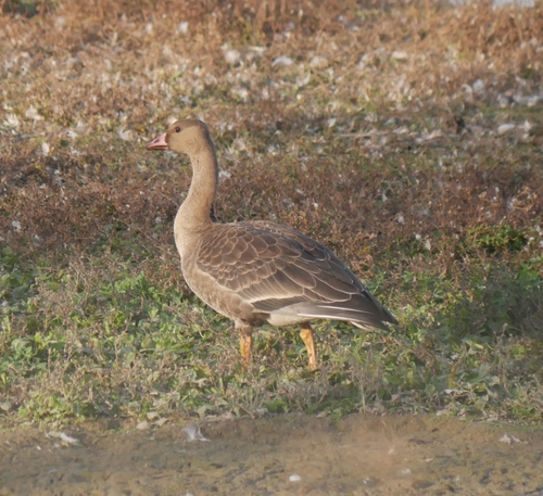
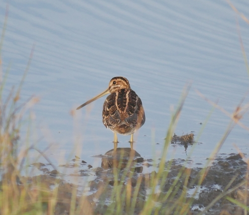
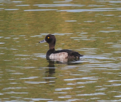
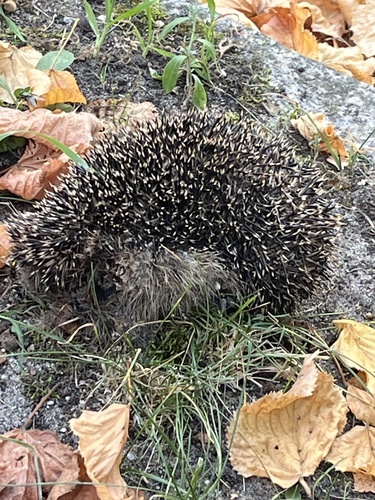
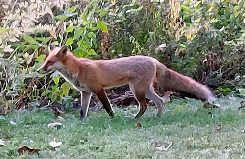
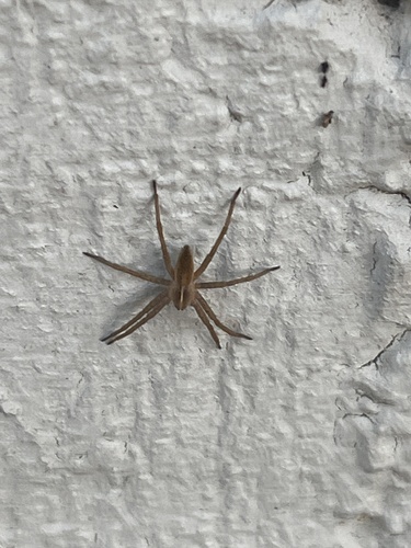
Research-grade observations from iNaturalist (within ~15 mi).
Events
Notable, recurring, and historical events associated with Berlin, sourced from Wikidata.
- Dec 3, 2011
- 2009 World Championships in Athletics – Men's MarathonAug 22, 2009sporting event
- Jan 1, 2009
- 2009 World Championships in Athletics – men's 4 × 100 metres relayJan 1, 2009sporting event
Athletics discipline event at an athletics meeting
- Jan 1, 2009
- Jan 1, 2009
- Jan 1, 2009
- Jan 1, 2009
- Jan 1, 2009
- Jan 1, 2009
- 2009 World Championships in Athletics – women's triple jumpJan 1, 2009sporting event
women's Triple Jump event at the 2009 World Championships, Berlin
- 2009 World Championships in Athletics – men's 800 metresJan 1, 2009sporting event
- Jan 1, 2009
- 2009 World Championships in Athletics – men's pole vaultJan 1, 2009sporting event
- Jan 1, 2009
- 2009 World Championships in Athletics – men's shot putJan 1, 2009sporting event
international shot put competition
- Jan 1, 2009
- Jan 1, 2009
- Jan 1, 2009
- Dec 4, 1999
Source: Wikidata (CC0).
Gallery
Geotagged photos within ~6 miles of Berlin, from Wikimedia Commons contributors.

.jpg)
.jpg)


.jpg)
.jpg)
.jpg)
.jpg)


.jpg)

Photos via Wikimedia Commons — see each image page for license & attribution.
Official Identifiers
Destatis — German Federal Statistical Office
- AGS
- 11000000
- Population (Wikidata)
- 3,782,202
- Wikidata
- Q64
Amtlicher Gemeindeschlüssel (AGS) via Wikidata P439
Sources
- • Wikipedia
- • Open-Meteo (ERA5 reanalysis)
- • Wikimedia Commons
- • Wikidata
- • Open-Meteo Air Quality (CAMS)
- • USGS Earthquake Catalog (global feed)
- • GBIF (Global Biodiversity Information Facility)
- • iNaturalist
- • Open-Elevation
- • Open-Meteo / sunrise-sunset.org
- • Wikipedia Pageviews API
- • Open Library
- • Wikidata SPARQL (CC0) — population, area, elevation, inception, head of government, Commons image
- • Destatis — German Federal Statistical Office — Amtlicher Gemeindeschlüssel (AGS) via Wikidata P439