Browse / Germany / Bremen / Bremerhaven
Bremerhaven
Bremencity

Bremerhaven
Total population
117,281
Founded
1827
Demographic figures from Destatis. Overview below cites Wikipedia and may reference a different year.
City facts
Sister cities
Facts from Wikidata (CC0).
Overview
Bremerhaven is a port city on the east bank of the Weser estuary in northern Germany. It forms an exclave of the city-state of Bremen. The River Geeste flows through the city before emptying into the Weser.
Read more on WikipediaHistory & geography
History
The town was founded in 1827, but neighboring settlements such as Lehe were in the vicinity as early as the 12th century, and Geestendorf was "mentioned in documents of the ninth century". These tiny villages were built on small islands in the swampy estuary. In 1381, the city of Bremen established de facto rule over the lower Weser stream, including Lehe, later therefore called Bremerlehe. Early in 1653, Swedish Bremen-Verden's troops captured Bremerlehe by force. The Emperor Ferdinand III ordered his vassal Christina of Sweden, then Duchess regnant of Bremen-Verden, to restitute Bremerlehe to Bremen. However, Swedish Bremen-Verden began the First Bremian War (March – July 1654). In the subsequent peace treaty (; November 1654) Bremen had to cede Bremerlehe and its surroundings to Swedish Bremen-Verden. The latter developed plans to found a fortified town on the site, and much later this location became the present-day city of Bremerhaven. In 1672, under the reign of Charles XI of Sweden, in personal union Duke of Bremen-Verden—colonists tried unsuccessfully to erect a castle (named Carlsburg after Charles XI) there; this fortified structure was meant to protect, as well as control shipping heading for Bremen. Finally, in 1827, the city of Bremen under Bürgermeister Johann Smidt bought the territories at the mouth of the Weser from the Kingdom of Hanover. Bremen sought this territory to retain its share of Germany's overseas trade, which was threatened by the silting up of the Weser around the old inland port of Bremen. Bremerhaven (literally in ) was founded to be a haven for Bremen's merchant marine, becoming the second harbour for Bremen, despite being downstream. Due to trade with, and emigration to, North America, the port and the town grew quickly. In…
Excerpted from the corresponding Wikipedia article (CC BY-SA).
Geography
Coordinates & boundaries from the US Census TIGER/Line shapefiles.
Climate
Air quality
Walkability
Amenities nearby
Wildlife & biodiversity
Earthquake history
Photos
Sights & places nearby
Notable people from here
Nearby places in Bremen
Geography & sun
Elevation, sunrise/sunset and daylight from Open-Meteo. Solar climatology from NASA POWER.
Nearby airports
Public attention
Pageview totals from the Wikimedia Pageviews API.
Books about Bremerhaven


Search results from Open Library.
Recent natural events nearby
Ground air-quality sensors
Recently spotted species


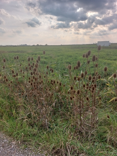





Research-grade observations from iNaturalist (within ~15 mi).
Events
Notable, recurring, and historical events associated with Bremerhaven, sourced from Wikidata.
- Sail Bremerhavenplanned event
Source: Wikidata (CC0).
Gallery
Official Identifiers
Destatis — German Federal Statistical Office
- AGS
- 04012000
- Population (Wikidata)
- 114,677
- Wikidata
- Q2706
Amtlicher Gemeindeschlüssel (AGS) via Wikidata P439
Sources
- • Wikipedia
- • Wikidata
- • iNaturalist
- • Open-Meteo / sunrise-sunset.org
- • Wikipedia Pageviews API
- • Open Library
- • Wikidata SPARQL (CC0) — population, area, elevation, inception, head of government, Commons image
- • Destatis — German Federal Statistical Office — Amtlicher Gemeindeschlüssel (AGS) via Wikidata P439