Browse / Germany / Baden-Württemberg / Bruchsal
Bruchsal
Baden-Württembergtown

Bruchsal
Total population
42,911
Demographic figures from Destatis. Overview below cites Wikipedia and may reference a different year.
City facts
Facts from Wikidata (CC0).
Overview
Bruchsal is a city at the western edge of the Kraichgau, approximately 20 km northeast of Karlsruhe in the state of Baden-Württemberg, Germany. It is located on Bertha Benz Memorial Route.
Read more on WikipediaHistory & geography
History
Excavations and artifacts provide evidence of a settlement on the Michelsberg (Untergrombach) as early as 4000 BC during the Neolithic. In the core of Bruchsal the oldest settlement discovered was dated back to AD 640. It is located near today's Saint Peter's Church. The first mention of Bruchsal in official documents occurred in 976, when the king came to town. In October 980, Otto II and his court stayed at the king's palace in Bruchsal for several days. Henry II of Germany became ruler of Bruchsal in 1002 following the subjugation of his rival Herrmann of Swabia. In 1056 Henry III of Germany presented the settlement to the bishop of Speyer (Konrad I) as a gift. The city remained part the diocese until the German Mediatisation in 1802. It also was the seat of an administrative district that originally only consisted of the core of Bruchsal (i.e., the city as it existed prior to the various district reforms). In 1067 Henry IV resided in Bruchsal from time to time. 1248 was the first time Bruchsal was referred to as a city, and in 1278 Saint Peter's Church was mentioned for the first time. After extensive damage to both, the Palace and Saint Peter's Church were reconstructed in 1320. The Bergfried (an outlook and defensive tower bastion) was erected in 1358, and the city wall was completed in 1452. In 1460 the first coin was minted in Bruchsal. In 1502 the first peasant revolt (Bundschuh), led by Joß Fritz of Untergrombach, chose Bruchsal as its target. Traitors to the rebellion allowed the authorities to take the revolt's leaders into custody. Ten were decapitated in the Bruchsal Palace courtyard. Joß Fritz got away and went into hiding in the Southern Black Forest. In 1525 the peasant revolts peaked. Inflation, hunger and the Plague added to the desperation, and…
Geography
Bruchsal is located at the edge of the Upper Rhine River Plains and the Kraichgau along the Saalbach, which is a small tributary of the Rhine that joins it between Philippsburg and Oberhausen. The following cities and towns share a border with Bruchsal. They all belong to the district of Karlsruhe and are listed clockwise, starting in the North: Forst (Baden), Ubstadt-Weiher, Kraichtal, Bretten, Gondelsheim, Walzbachtal, Weingarten (Baden), Stutensee and Karlsdorf-Neuthard. In addition the exclave of Bruchsal situated North of Karlsdorf-Neuthard shares borders with the towns of Graben-Neudorf, Waghäusel und Hambrücken. The city of Bruchsal is made up of Bruchsal proper along with the boroughs of Büchenau, Heidelsheim, Helmsheim, Obergrombach and Untergrombach. A few neighborhoods within the city limits are known by their own name, but their limits are not precisely documented. Furthermore, former homesteads are located inside today's city limits. These often only consist of one or several buildings, such as Langental, Rohrbacher Hof, Scheckenbronnerhof, Staighof, Talmühle and Auf dem Michaelsberg in the borough of Untergrombach.
Excerpted from the corresponding Wikipedia article (CC BY-SA).
Geography
Coordinates & boundaries from the US Census TIGER/Line shapefiles.
Climate
Air quality
Walkability
Amenities nearby
Wildlife & biodiversity
Most-observed species
- Eurasian BlackbirdTurdus merula Linnaeus, 1758 · Aves6,193
- Carrion CrowCorvus corone Linnaeus, 1758 · Aves5,885
- Great TitParus major Linnaeus, 1758 · Aves5,602
- Common Wood-PigeonColumba palumbus Linnaeus, 1758 · Aves5,529
- Eurasian Blue TitCyanistes caeruleus (Linnaeus, 1758) · Aves4,638
- Eurasian MagpiePica pica (Linnaeus, 1758) · Aves4,477
- MallardAnas platyrhynchos Linnaeus, 1758 · Aves4,371
- House SparrowPasser domesticus (Linnaeus, 1758) · Aves4,146
Citizen-science & research observations from the Global Biodiversity Information Facility (GBIF).
Earthquake history
Most recent
- M 3.4 — 2022-10-16Baden-Wurttemberg, Germany
- M 4 — 2022-07-092 km NNE of Grosselfingen, Germany
- M 4.1 — 2021-06-262 km SE of Hœrdt, France
- M 3.6 — 2014-05-172 km ESE of Pfungstadt, Germany
- M 2.5 — 2008-12-122 km ESE of Nehren, Germany
- M 2.8 — 2008-11-251 km S of Steinmauern, Germany
Events from the USGS Earthquake Catalog (global) (FDSN Event Web Service).
Photos
Sights & places nearby
Notable people from here


People born within ~10 km, from Wikidata (CC0). Click any name for their Wikipedia article.
Nearby places in Baden-Württemberg
- Neibsheim5.4 mi away · pop. 1,833
- Büchig6.1 mi away · pop. 1,500
- Bauerbach7.4 mi away · pop. 1,266
- Waghäusel9.4 mi away · pop. 1,200
- Großvillars9.5 mi away
- Malschenberg9.8 mi away
- Knittlingen10 mi away · pop. 7,656
- Bilfingen12.3 mi away
- Walldorf12.5 mi away · pop. 14,663
- Altlußheim13 mi away · pop. 5,338
- Ersingen13.3 mi away
- Diefenbach13.4 mi away
Geography & sun
Elevation, sunrise/sunset and daylight from Open-Meteo. Solar climatology from NASA POWER.
Nearby airports
Public attention
Pageview totals from the Wikimedia Pageviews API.
Books about Bruchsal
Search results from Open Library.
Recent natural events nearby
Ground air-quality sensors
Recently spotted species
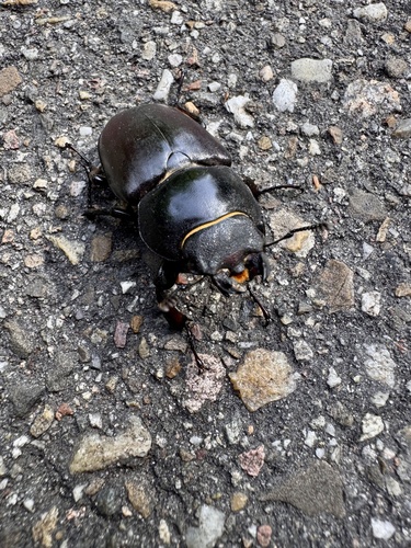
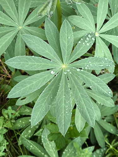
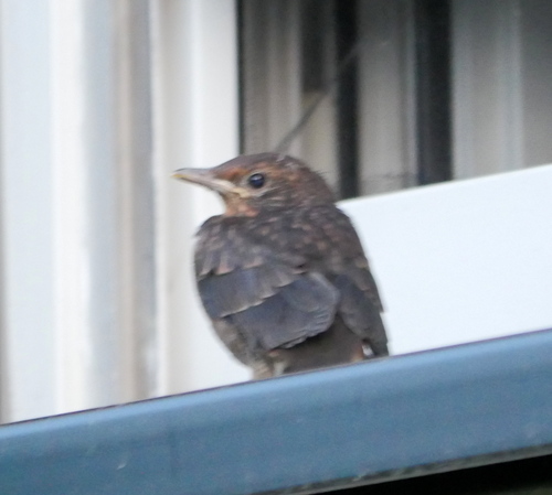
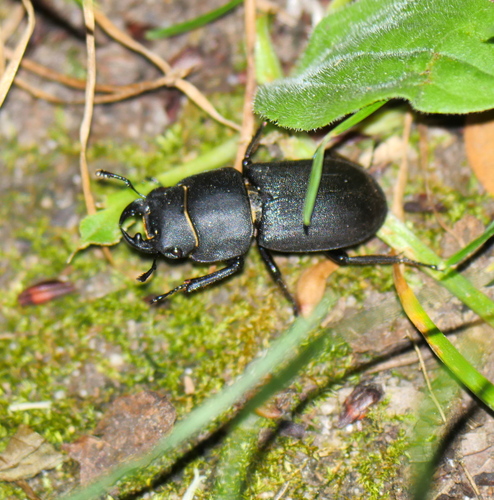
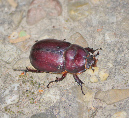
Research-grade observations from iNaturalist (within ~15 mi).
Events
Gallery
Geotagged photos within ~6 miles of Bruchsal, from Wikimedia Commons contributors.


.jpg)
Photos via Wikimedia Commons — see each image page for license & attribution.
Official Identifiers
Destatis — German Federal Statistical Office
- AGS
- 08215009
- Population (Wikidata)
- 47,014
- Wikidata
- Q7059
Amtlicher Gemeindeschlüssel (AGS) via Wikidata P439
Sources
- • Wikipedia
- • Wikimedia Commons
- • Wikidata
- • USGS Earthquake Catalog (global feed)
- • GBIF (Global Biodiversity Information Facility)
- • iNaturalist
- • Open-Meteo / sunrise-sunset.org
- • Wikipedia Pageviews API
- • Open Library
- • Wikidata SPARQL (CC0) — population, area, elevation, inception, head of government, Commons image
- • Destatis — German Federal Statistical Office — Amtlicher Gemeindeschlüssel (AGS) via Wikidata P439