Browse / Germany / Bayern / Burgau
Burgau
Bayerntown

Burgau
Total population
8,399
Air quality index
Demographic figures from Destatis. Overview below cites Wikipedia and may reference a different year.
City facts
Facts from Wikidata (CC0).
Overview
Burgau is a town in the district of Günzburg in Swabia, Bavaria. Burgau lies on the river Mindel and has a population of just under 10,000.
Read more on WikipediaHistory & geography
History
The territory around Burgau was originally part of the stem duchy of Swabia. The death of Conradin and the resulting extinction of the Hohenstaufen line in 1268 led to the collapse of the integrity of the duchy and its division into lands, after local nobles resisted the Habsburg Holy Roman Emperor Rudolph's attempts to annex the duchy. The Lords of Burgau are first found in documentary mention in 1147, as . Burgau was raised to a margraviate in 1212. With the death of Margrave Henry III in 1301, the margravial line fell extinct and the Empire claimed the fief. Albert I of Germany transferred the feudal rights to his two sons, thereby permanently adding the territory to the Habsburg dominions, with Henry III's widow purchasing the allodial rights. Four different titles were awarded: that of allodial rights, Imperial feudal rights (), manorial rights () and guardianship (, usually translated as bailiwick). The location of the castle produced latent tensions with the Bavarian Wittelsbachs, who coveted the margraviate to round off their territories. Their attempted purchase of the territory in 1418 was resisted by the Imperial Cities of Augsburg and Ulm, with the support of other Swabian cities. Burgau came to rely on the support of the Imperial Cities, along with the Bishopric of Augsburg and the Fugger lands to stem the Wittelsbachs' acquisitive desires, particularly after they won the land west of the Lech; see Swabian League. Throughout the 14th century, the Habsburgs were compelled to mortgage the margraviate or its parts; the last such mortgage being to the Bishopric of Augsburg, ending in 1559. Further Austria fell to Emperor Ferdinand I in 1522, passing to his second son Ferdinand II, Archduke of Austria, on his death. In the German Peasants' War in 1525,…
Excerpted from the corresponding Wikipedia article (CC BY-SA).
Geography
Coordinates & boundaries from the US Census TIGER/Line shapefiles.
Climate
Air quality
Current readings from Open-Meteo Air Quality API (Copernicus CAMS European reanalysis).
Walkability
Amenities nearby
Wildlife & biodiversity
Most-observed species
- Graylag GooseAnser anser (Linnaeus, 1758) · Aves794
- Eurasian BlackbirdTurdus merula Linnaeus, 1758 · Aves703
- Carrion CrowCorvus corone Linnaeus, 1758 · Aves671
- Great TitParus major Linnaeus, 1758 · Aves663
- MallardAnas platyrhynchos Linnaeus, 1758 · Aves643
- Common ChaffinchFringilla coelebs Linnaeus, 1758 · Aves590
- Eurasian Blue TitCyanistes caeruleus (Linnaeus, 1758) · Aves587
- Common BuzzardButeo buteo (Linnaeus, 1758) · Aves568
Citizen-science & research observations from the Global Biodiversity Information Facility (GBIF).
Earthquake history
Most recent
- M 3.1 — 2008-12-253 km NNW of Saulgau, Germany
- M 2.5 — 2008-12-122 km ESE of Nehren, Germany
- M 2.6 — 2008-06-152 km S of Langenenslingen, Germany
- M 2.7 — 2008-06-143 km S of Diedorf, Germany
- M 2.5 — 2006-09-124 km WSW of Unterhausen, Germany
- M 2.9 — 2006-07-184 km N of Saulgau, Germany
Events from the USGS Earthquake Catalog (global) (FDSN Event Web Service).
Photos
Sights & places nearby
Notable people from here


People born within ~10 km, from Wikidata (CC0). Click any name for their Wikipedia article.
Geography & sun
Elevation, sunrise/sunset and daylight from Open-Meteo. Solar climatology from NASA POWER.
Nearby airports
Public attention
Pageview totals from the Wikimedia Pageviews API.
Books about this place
Recent natural events nearby
Ground air-quality sensors
Recently spotted species
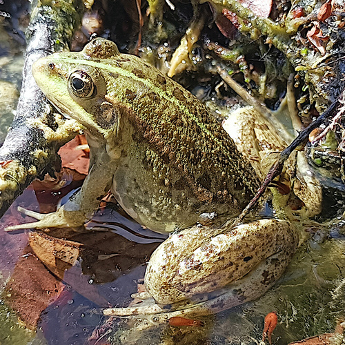
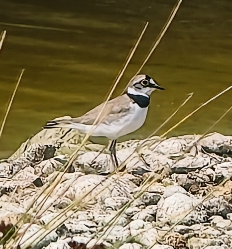
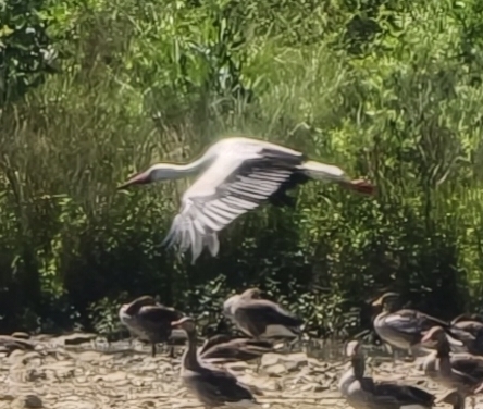
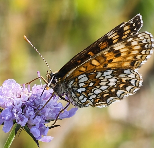
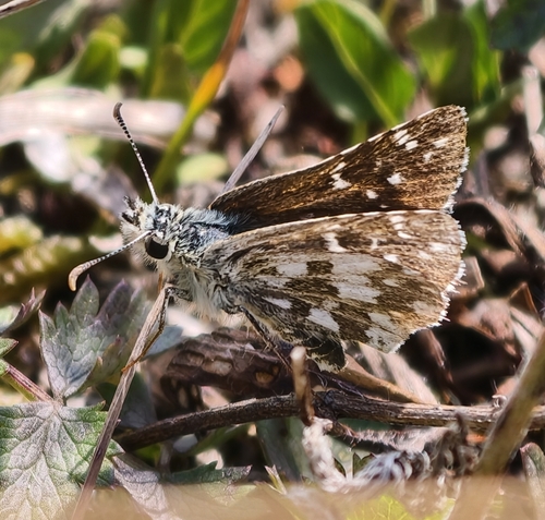
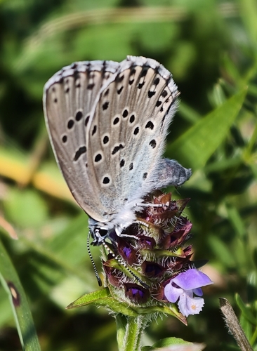
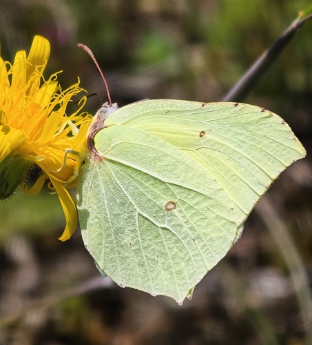
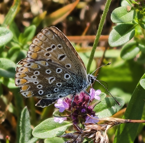
Research-grade observations from iNaturalist (within ~15 mi).
Events
Gallery
Geotagged photos within ~6 miles of Burgau, from Wikimedia Commons contributors.


Photos via Wikimedia Commons — see each image page for license & attribution.
Official Identifiers
Destatis — German Federal Statistical Office
- AGS
- 09774121
- Population (Wikidata)
- 10,628
- Wikidata
- Q505896
Amtlicher Gemeindeschlüssel (AGS) via Wikidata P439
Sources
- • Wikipedia
- • Wikimedia Commons
- • Wikidata
- • Open-Meteo Air Quality (CAMS)
- • USGS Earthquake Catalog (global feed)
- • GBIF (Global Biodiversity Information Facility)
- • iNaturalist
- • Open-Meteo / sunrise-sunset.org
- • Wikipedia Pageviews API
- • Wikidata SPARQL (CC0) — population, area, elevation, inception, head of government, Commons image
- • Destatis — German Federal Statistical Office — Amtlicher Gemeindeschlüssel (AGS) via Wikidata P439