Browse / Germany / Bayern / Burgebrach
Burgebrach
Bayerntown

Burgebrach
Total population
6,468
Demographic figures from Destatis. Overview below cites Wikipedia and may reference a different year.
City facts
Facts from Wikidata (CC0).
Overview
Burgebrach is a market town in the Upper Franconian district of Bamberg and the seat of the administrative community (Verwaltungsgemeinschaft) of Burgebrach.
Read more on WikipediaHistory & geography
History
The first known name for the place was Urbs Ebraha in 1023. Emperor Heinrich II donated it to the Bishopric of Würzburg, which then sold it to the High Monastery at Bamberg. Burgebrach was the original parish for more than 40 outlying places. It was granted market rights on 21 August 1472 by Bamberg Bishop Georg von Schaumburg. In 1499, on the Bishop's demands, three defensive towers had to be built, for which the Bishop exempted the market town from taxes. Walls were needless, as the boggy meadows and the Ebrach's two arms had long been thwarting enemy attacks. Thus Burgebrach was spared the fury of the Hussite and German Peasants' Wars. Only in 1550 was it beset by the notorious Margrave Albrecht Alkibiades’s, and on 16 February 1632 in the Thirty Years' War by the Swedes’ plundering and pillaging. In 1706, a great deal of money and goods were forced out of the townsfolk by the French. Since the Reichsdeputationshauptschluss of 1803, the community has no longer belonged to the High Monastery at Bamberg, but rather to Bavaria. Burgebrach once had Jewish inhabitants who had at their disposal a synagogue and a mikvah. The former has been converted into a home, while the latter, a ritual bath, is used nowadays as a garage. The dead were buried in Walsdorf. Within town limits, 4,761 inhabitants were counted in 1970, 5,037 in 1987, 6,212 in 2000 and 6479 in 2006. In 2007 it was 6,438.
Geography
Burgebrach is said to be the eastern gateway to the Steigerwald (forest), where the Mittlere Ebrach empties into the Rauhe Ebrach. It is to be found on Bundesstraße 22 halfway between Bamberg and Ebrach. Lisberg, Stegaurach, Frensdorf, Pommersfelden, Mühlhausen (Erlangen-Höchstadt district), Schlüsselfeld, Burgwindheim, Schönbrunn im Steigerwald and Walsdorf all border on Burgebrach. Burgebrach's main and namesake centre is by far the biggest of its Ortsteile with a population of 3,316. The market town furthermore has these outlying centres, each given here with its own population figure: {| |- bgcolor="#FFFFFF" | width="33%" valign="top" | *Ampferbach 366 *Büchelberg 77 *Dietendorf 228 *Dippach 79 *Dürrhof 65 *Failshof 22 *Försdorf 12 *Grasmannsdorf 247 *Hirschbrunn 138 | width="33%" valign="top" | *Klemmenhof 27 *Krumbach 31 *Küstersgreuth 39 *Magdalenenkappel 8 *Manndorf 33 *Mönchherrnsdorf 198 *Mönchsambach 102 *Oberharnsbach 301 *Oberköst 219 | width="33%" valign="top" | *Schatzenhof 15 *Stappenbach 365 *Tempelsgreuth 83 *Treppendorf 183 *Unterharnsbach 119 *Unterneuses 238 *Vollmannsdorf 51 *Wolfsbach 106 |} :as of 31 December 2004
Excerpted from the corresponding Wikipedia article (CC BY-SA).
Geography
Coordinates & boundaries from the US Census TIGER/Line shapefiles.
Climate
Air quality
Walkability
Amenities nearby
Wildlife & biodiversity
Earthquake history
Photos
Sights & places nearby
Notable people from here
Nearby places in Bayern
- Dürrhof2 mi away · pop. 70
- Mönchsambach2.9 mi away · pop. 100
- Steppach4.7 mi away · pop. 922
- Kötsch4.8 mi away · pop. 101
- Oberndorf5.1 mi away · pop. 89
- Stolzenroth5.1 mi away · pop. 58
- Sambach5.6 mi away · pop. 590
- Schirnsdorf6.1 mi away
- Rattelshof6.9 mi away
- Dörfleins8.9 mi away · pop. 1,400
- Höchstadt an der Aisch9.1 mi away · pop. 13,158
- Medbach9.8 mi away
Geography & sun
Elevation, sunrise/sunset and daylight from Open-Meteo. Solar climatology from NASA POWER.
Nearby airports
Public attention
Pageview totals from the Wikimedia Pageviews API.
Books about this place
Recent natural events nearby
Ground air-quality sensors
Recently spotted species
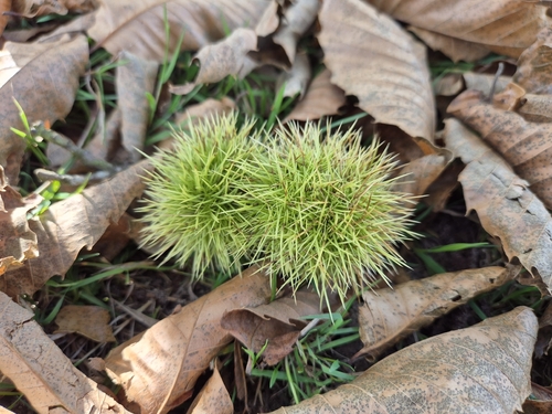
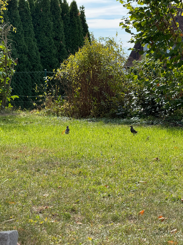

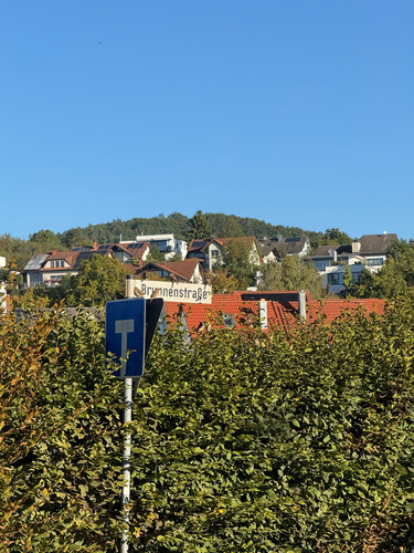
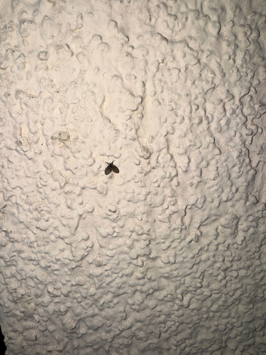
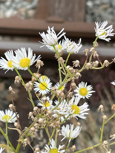
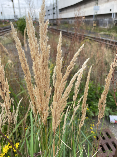
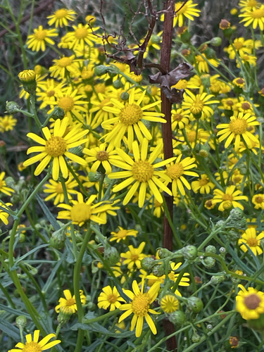
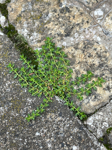
Research-grade observations from iNaturalist (within ~15 mi).
Events
Gallery
Official Identifiers
Destatis — German Federal Statistical Office
- AGS
- 09471120
- Population (Wikidata)
- 7,174
- Wikidata
- Q513956
Amtlicher Gemeindeschlüssel (AGS) via Wikidata P439
Sources
- • Wikipedia
- • Wikidata
- • iNaturalist
- • Open-Meteo / sunrise-sunset.org
- • Wikipedia Pageviews API
- • Wikidata SPARQL (CC0) — population, area, elevation, inception, head of government, Commons image
- • Destatis — German Federal Statistical Office — Amtlicher Gemeindeschlüssel (AGS) via Wikidata P439