Browse / Germany / Brandenburg / Cumlosen
Cumlosen
Brandenburgvillage

Cumlosen
Total population
727
Demographic figures from Destatis. Overview below cites Wikipedia and may reference a different year.
City facts
Facts from Wikidata (CC0).
Overview
Cumlosen is a municipality in the Prignitz district, in Brandenburg, Germany.
Read more on WikipediaHistory & geography
History
Between 1945 and 1990 Cumlosen served as East German inner German border crossing for inland navigation on the Elbe. The crossing was open for freight vessels navigating between Czechoslovakia, the Soviet Zone of occupation in Germany (till 1949, thereafter the East German Democratic Republic, or West Berlin and the British zone of occupation (till 1949) and thereafter the West German Federal Republic of Germany. The traffic was subject to the Interzonal traffic regulations and that between West Germany and West Berlin was subject to the special regulations of the Transit Agreement (1972).
Excerpted from the corresponding Wikipedia article (CC BY-SA).
Geography
Coordinates & boundaries from the US Census TIGER/Line shapefiles.
Climate
Air quality
Walkability
Amenities nearby
Wildlife & biodiversity
Earthquake history
Photos
Sights & places nearby
Notable people from here


People born within ~10 km, from Wikidata (CC0). Click any name for their Wikipedia article.
Nearby places in Brandenburg
- Lenzen (Elbe)8.6 mi away · pop. 2,071
- Premslin8.7 mi away
- Postlin10.4 mi away
- Eldenburg10.7 mi away · pop. 99
- Groß Buchholz11.1 mi away · pop. 129
- Klein Gottschow15.1 mi away · pop. 168
- Retzin15.1 mi away · pop. 288
- Viesecke15.4 mi away
- Wolfshagen17 mi away · pop. 349
- Glöwen19.6 mi away · pop. 1,200
- Putlitz21.9 mi away · pop. 2,664
- Buchholz22.6 mi away · pop. 255
Geography & sun
Nearby airports
Public attention
Books about this place
Recent natural events nearby
Ground air-quality sensors
Recently spotted species
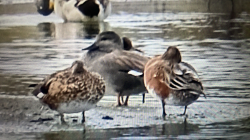
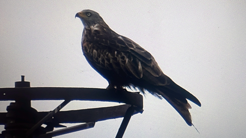
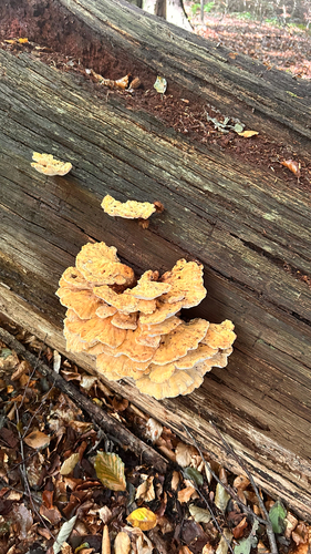
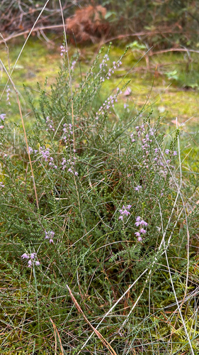
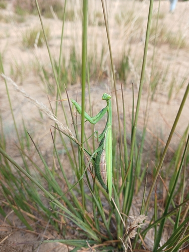
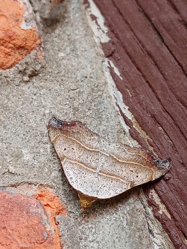

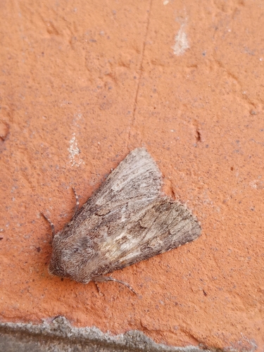
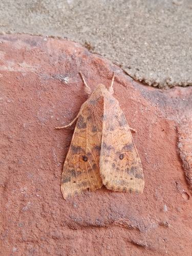
Research-grade observations from iNaturalist (within ~15 mi).
Events
Gallery
Official Identifiers
Destatis — German Federal Statistical Office
- AGS
- 12070060
- Population (Wikidata)
- 717
- Wikidata
- Q635490
Amtlicher Gemeindeschlüssel (AGS) via Wikidata P439
Sources
- • Wikipedia
- • Wikidata
- • iNaturalist
- • Destatis — German Federal Statistical Office — Amtlicher Gemeindeschlüssel (AGS) via Wikidata P439