Browse / Germany / Baden-Württemberg / Ditzingen
Ditzingen
Baden-Württembergtown

Ditzingen
Total population
24,272
Air quality index
Demographic figures from Destatis. Overview below cites Wikipedia and may reference a different year.
City facts
Sister cities
Facts from Wikidata (CC0).
Overview
Ditzingen is a town in the district of Ludwigsburg, Baden-Württemberg, Germany. It is located approximately 10 km northwest of Stuttgart, and 12 km southwest of Ludwigsburg. The Hirschlanden transmitter was located near Ditzingen-Hirschlanden. Ditzingen is the home of Bürger GmbH, Reclam and also Trumpf GmbH.
Read more on WikipediaHistory & geography
Geography
Ditzingen is located in the southwestern Neckar basin in the Strohgäu at the transition to the so-called Long Field. The urban area lies between the Strudelbach in the west and the Glems in the east. The Glems, a right tributary of the Enz River, flows through the center of Ditzingen. The city center is on the right of the river. The Glems formerly formed the tribal border of the Swabians and Franks and was also the border of the two dioceses Roman Catholic Diocese of Speyer and Bishopric of Constance. The following cities and municipalities adjoin the city of Ditzingen. They are called clockwise starting in the east: * Weilimdorf (district of Stuttgart) * Gerlingen (district of Ludwigsburg) * Leonberg and Weissach (both district of Böblingen) * Eberdingen, Hemmingen and Korntal-Münchingen (all three district of Ludwigsburg) Ditzingen includes the formerly independent communities Heimerdingen, Hirschlanden and Schöckingen which were incorporated in the 1970s (or combined with the city). The former municipalities are districts and at the same time localities within the meaning of the Baden-Württemberg municipal code, which means they have a local council that is headed by a village mayor. The local councils are elected in every local election by the population eligible to vote in the village. There is also an administrative office in each village, which serves as the local town hall. The town of Ditzingen (in the borders of June 30, 1970) include the city Ditzingen, the estates Grüner Baum and Lerchenhöfe, the living places Maurener Berg, Oberes Glemstal, Ölberg and Steinröhre and the houses Ferbermühle, Tonmühle and Zechlesmühle. The former municipality Heimerdingen includes the village Heimerdingen and the outgoing town Stetten. The village Hirschlanden as…
Excerpted from the corresponding Wikipedia article (CC BY-SA).
Geography
Coordinates & boundaries from the US Census TIGER/Line shapefiles.
Climate
Air quality
Current readings from Open-Meteo Air Quality API (Copernicus CAMS European reanalysis).
Walkability
Amenities nearby
Wildlife & biodiversity
Most-observed species
- Great TitParus major Linnaeus, 1758 · Aves6,372
- Eurasian BlackbirdTurdus merula Linnaeus, 1758 · Aves6,163
- Carrion CrowCorvus corone Linnaeus, 1758 · Aves5,870
- Eurasian Blue TitCyanistes caeruleus (Linnaeus, 1758) · Aves5,591
- Zoropsid spiderZoropsis spinimana (Dufour, 1820) · Arachnida5,467
- Common BuzzardButeo buteo (Linnaeus, 1758) · Aves4,867
- Common Wood-PigeonColumba palumbus Linnaeus, 1758 · Aves4,814
- European RobinErithacus rubecula (Linnaeus, 1758) · Aves4,192
Citizen-science & research observations from the Global Biodiversity Information Facility (GBIF).
Earthquake history
Most recent
- M 3.4 — 2022-10-16Baden-Wurttemberg, Germany
- M 4 — 2022-07-092 km NNE of Grosselfingen, Germany
- M 4.1 — 2021-06-262 km SE of Hœrdt, France
- M 3.1 — 2008-12-253 km NNW of Saulgau, Germany
- M 2.5 — 2008-12-122 km ESE of Nehren, Germany
- M 2.8 — 2008-11-251 km S of Steinmauern, Germany
Events from the USGS Earthquake Catalog (global) (FDSN Event Web Service).
Photos
Sights & places nearby
Notable people from here


People born within ~10 km, from Wikidata (CC0). Click any name for their Wikipedia article.
Nearby places in Baden-Württemberg
- Hirschlanden1.5 mi away
- Höfingen2.3 mi away
- Gebersheim4.1 mi away
- Asperg6.3 mi away · pop. 12,842
- Heimsheim9.4 mi away · pop. 5,233
- Kleinglattbach9.7 mi away · pop. 4,533
- Großglattbach9.8 mi away
- Neckarrems10 mi away · pop. 4,765
- Döffingen10.5 mi away
- Kemnat10.6 mi away · pop. 5,123
- Dagersheim10.6 mi away
- Hegnach10.7 mi away · pop. 5,000
Geography & sun
Elevation, sunrise/sunset and daylight from Open-Meteo. Solar climatology from NASA POWER.
Nearby airports
Public attention
Pageview totals from the Wikimedia Pageviews API.
Books about this place
Recent natural events nearby
Ground air-quality sensors
Recently spotted species
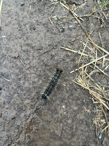
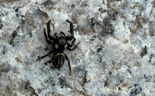
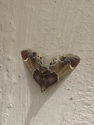
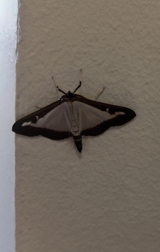
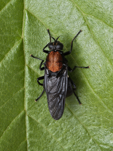
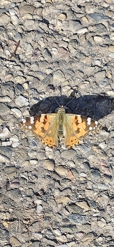
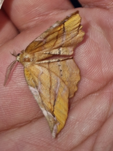
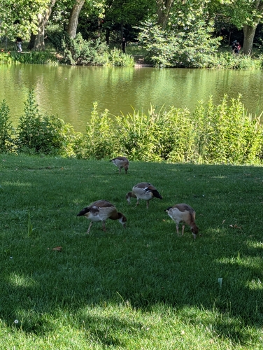
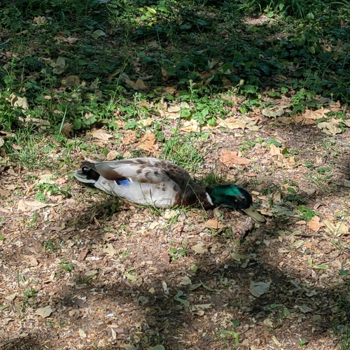
Research-grade observations from iNaturalist (within ~15 mi).
Events
Gallery
Geotagged photos within ~6 miles of Ditzingen, from Wikimedia Commons contributors.
 0 mi
0 mi 0 mi
0 mi 0 mi
0 mi 0 mi
0 mi 0 mi
0 mi.jpg) 0 mi
0 mi 0 mi
0 mi 0 mi
0 mi 0 mi
0 mi 0 mi
0 mi 0.1 mi
 0.1 mi
 0.1 mi
 0.1 mi
 0.1 mi
 0.1 mi
.jpg) 0.1 mi
0.1 mi 0.1 mi
 0.1 mi
 0.1 mi
 0.1 mi
 0.1 mi
 0.1 mi
 0.1 mi
Photos via Wikimedia Commons — see each image page for license & attribution.
Official Identifiers
Destatis — German Federal Statistical Office
- AGS
- 08118011
- Population (Wikidata)
- 25,318
- Wikidata
- Q61658
Amtlicher Gemeindeschlüssel (AGS) via Wikidata P439
Sources
- • Wikipedia
- • Wikimedia Commons
- • Wikidata
- • Open-Meteo Air Quality (CAMS)
- • USGS Earthquake Catalog (global feed)
- • GBIF (Global Biodiversity Information Facility)
- • iNaturalist
- • Open-Meteo / sunrise-sunset.org
- • Wikipedia Pageviews API
- • Wikidata SPARQL (CC0) — population, area, elevation, inception, head of government, Commons image
- • Destatis — German Federal Statistical Office — Amtlicher Gemeindeschlüssel (AGS) via Wikidata P439