Browse / Germany / Baden-Württemberg / Endingen am Kaiserstuhl
Endingen am Kaiserstuhl
Baden-Württembergtown

Endingen am Kaiserstuhl
Total population
9,048
Air quality index
Demographic figures from Destatis. Overview below cites Wikipedia and may reference a different year.
City facts
Sister cities
Facts from Wikidata (CC0).
Overview
Endingen am Kaiserstuhl is a small German town located in southwest Germany, at the border with France. It lies at the northern border of a former volcano area called Kaiserstuhl. The population of Endingen is about 9,000.
Read more on WikipediaHistory & geography
History
Endingen is first found in sources in the year 862. It belonged to the Lords of Endingen for several centuries and then to the Lords of Üsenberg. In 1285 or 1286, Endingen received city rights. When the Lords of Üsenberg died out in 1379, the town passed to the Habsburgs and was eventually incorporated into Vorderösterreich. For a short time in the 15th century, Endingen held the status of an Imperial City (Reichsstadt) of the Holy Roman Empire. In 1751, Endingen was the site of one of the last Witch Trials in Europe. On 24 April Anna Schnidenwind was burned as a witch. After the Peace of Pressburg (1805), Endingen was assigned with the rest of the Breisgau to Baden. At the same time, Endingen also became part of the Landkreis Emmendingen. The exception is Kiechlinsbergen, which belonged to the former administrative district of Freiburg before its incorporation. In 1843, 358 citizens emigrated from the Kaiserstuhl area via Le Havre to Colonia Tovar, Venezuela, mainly from Endingen am Kaiserstuhl, Forchheim, Wyhl and Oberbergen. There they were settled after some turmoil at their present location. The farmers planted vegetables and fruits and also brewed Venezuela's first beer; they built their houses in half-timbered style. File:Wappen Amoltern.png|Amoltern File:Wappen Kiechlinsbergen.png|Kiechlinsbergen File:Wappen Königschaffhausen.svg|Königschaffhausen *December 1, 1971: Amoltern *January 1, 1974: Kiechlinsbergen (1150th Anniversary in 2012) *January 1, 1975: Königschaffhausen
Geography
The town of Endingen with the winegrowing villages Amoltern, Kiechlinsbergen and Königschaffhausen is located in the north of the Kaiserstuhl. The highest point of the community is lying in the south of the city core, the Katharinenberg, on top of which stands a chapel. With 492.4 m above sea level it is the third highest peak of the Kaiserstuhl. The city is located in one of the warmest areas of Germany, the Kaiserstuhl. The Mediterranean climate is reflected in the quality of the wines grown. The climate in this area is close to a Mediterranean microclimate, and there is adequate rainfall year-round. However, more year-round rain occurs than in the Rhine plateau because of the closeness to the Black Forest. The Köppen Climate Classification subtype for this climate is "Cfb" (Marine West Coast Climate/Oceanic climate). However, it is close to being humid subtropical (Cfa) due to the mean temperatures in July and August just under 22 °C. The city is close to the Kaiserstuhl, a range of hills of volcanic origin located a few miles away which is considered to be one of the warmest places of Germany and therefore considered as a viticultural area. Neighboring communities are (clockwise from the west): Sasbach, Wyhl, Forchheim, Riegel, Bahlingen, Vogtsburg. In addition to the town of Endingen itself, the three districts Amoltern, Kiechlinsbergen and Königschaffhausen belong to Endingen. At the same time, these form localities within the meaning of the Baden-Württemberg municipal code with their own town councils and mayors. In each of the localities administration offices are set up with the name "Ortschaftsamt". The official designation of the districts is preceded by the name of the city and connected by hyphen adjusted the names of the neighborhoods. The…
Excerpted from the corresponding Wikipedia article (CC BY-SA).
Geography
Coordinates & boundaries from the US Census TIGER/Line shapefiles.
Climate
Air quality
Current readings from Open-Meteo Air Quality API (Copernicus CAMS European reanalysis).
Walkability
Amenities nearby
Wildlife & biodiversity
Most-observed species
- Zoropsid spiderZoropsis spinimana (Dufour, 1820) · Arachnida3,203
- Eurasian BlackbirdTurdus merula Linnaeus, 1758 · Aves3,175
- Great TitParus major Linnaeus, 1758 · Aves2,672
- Carrion CrowCorvus corone Linnaeus, 1758 · Aves2,640
- Common ChaffinchFringilla coelebs Linnaeus, 1758 · Aves2,272
- Common BuzzardButeo buteo (Linnaeus, 1758) · Aves2,185
- House SparrowPasser domesticus (Linnaeus, 1758) · Aves2,139
- Common Wood-PigeonColumba palumbus Linnaeus, 1758 · Aves2,036
Citizen-science & research observations from the Global Biodiversity Information Facility (GBIF).
Earthquake history
Most recent
- M 3.5 — 2024-06-271 km SSW of Todtmoos, Germany
- M 3.4 — 2022-10-16Baden-Wurttemberg, Germany
- M 3.9 — 2022-09-101 km WSW of Zimmersheim, France
- M 4 — 2022-07-092 km NNE of Grosselfingen, Germany
- M 4.1 — 2021-06-262 km SE of Hœrdt, France
- M 3.1 — 2018-05-042 km W of Schliengen, Germany
Events from the USGS Earthquake Catalog (global) (FDSN Event Web Service).
Photos
Sights & places nearby
Notable people from here


People born within ~10 km, from Wikidata (CC0). Click any name for their Wikipedia article.
Nearby places in Baden-Württemberg
- Buchheim6.5 mi away
- Umkirch8 mi away
- Kirchzarten16.9 mi away
- St. Ulrich17.2 mi away
- Heitersheim18.6 mi away · pop. 5,833
- Hofsgrund18.9 mi away
- Münstertal20.1 mi away · pop. 5,211
- Triberg24.4 mi away
- Geschwend25.7 mi away
- Schönau im Schwarzwald26.1 mi away · pop. 2,523
- Ebersweier28.5 mi away · pop. 1,230
- St. Georgen29.1 mi away · pop. 13,086
Geography & sun
Elevation, sunrise/sunset and daylight from Open-Meteo. Solar climatology from NASA POWER.
Nearby airports
Public attention
Pageview totals from the Wikimedia Pageviews API.
Books about this place
Recent natural events nearby
Ground air-quality sensors
Recently spotted species
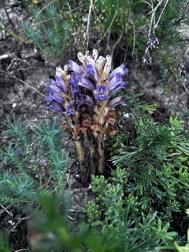
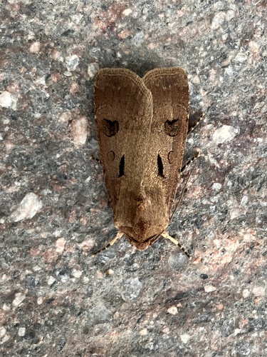
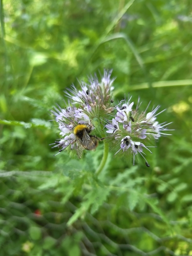
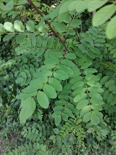
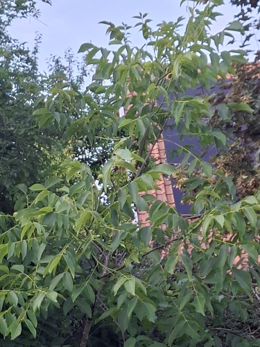
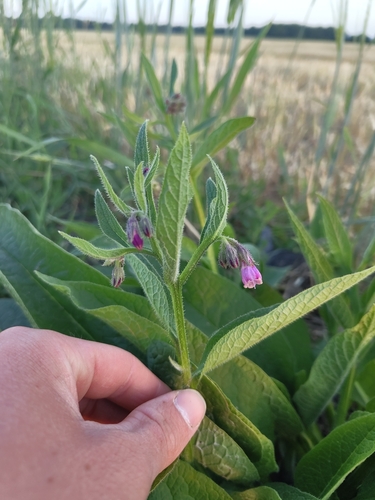
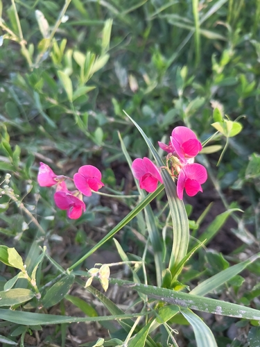
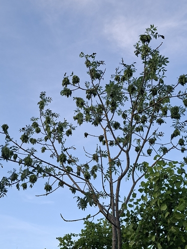
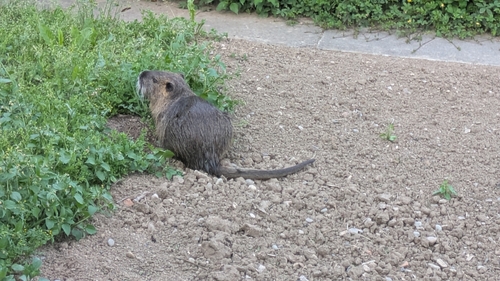
Research-grade observations from iNaturalist (within ~15 mi).
Events
Gallery
Geotagged photos within ~6 miles of Endingen am Kaiserstuhl, from Wikimedia Commons contributors.
 0 mi
0 mi 0 mi
0 mi.jpg) 0 mi
0 mi 0 mi
0 mi_-_geo.hlipp.de_-_22620.jpg) 0 mi
0 mi,_Endingen_-_geo.hlipp.de_-_22621.jpg) 0 mi
0 mi_-_geo.hlipp.de_-_22622.jpg) 0 mi
0 mi 0 mi
0 mi 0 mi
0 mi 0 mi
0 mi.jpg) 0 mi
0 mi 0 mi
0 mi 0.1 mi
.jpg) 0.1 mi
0.1 mi.jpg) 0.1 mi
0.1 mi.jpg) 0.1 mi
0.1 mi.jpg) 0.1 mi
0.1 mi.jpg) 0.1 mi
0.1 mi.jpg) 0.1 mi
0.1 mi.jpg) 0.1 mi
0.1 mi 0.1 mi
 0.1 mi
 0.1 mi
 0.1 mi
Photos via Wikimedia Commons — see each image page for license & attribution.
Official Identifiers
Destatis — German Federal Statistical Office
- AGS
- 08316012
- Population (Wikidata)
- 10,708
- Wikidata
- Q168511
Amtlicher Gemeindeschlüssel (AGS) via Wikidata P439
Sources
- • Wikipedia
- • Wikimedia Commons
- • Wikidata
- • Open-Meteo Air Quality (CAMS)
- • USGS Earthquake Catalog (global feed)
- • GBIF (Global Biodiversity Information Facility)
- • iNaturalist
- • Open-Meteo / sunrise-sunset.org
- • Wikipedia Pageviews API
- • Wikidata SPARQL (CC0) — population, area, elevation, inception, head of government, Commons image
- • Destatis — German Federal Statistical Office — Amtlicher Gemeindeschlüssel (AGS) via Wikidata P439