Browse / Germany / Baden-Württemberg / Entringen
Entringen
Baden-Württembergvillage

Entringen
Total population
11,521
Air quality index
Demographic figures from Destatis. Overview below cites Wikipedia and may reference a different year.
City facts
Facts from Wikidata (CC0).
Overview
Entringen is a part and the administrative seat of the municipality Ammerbuch in the district of Tübingen in the state of Baden-Württemberg (Germany).
Read more on WikipediaHistory & geography
History
The earliest findings in Entringen are Alamanni graves from the 5th century. The grave of a well-equipped warrior was found in the 1930s in the area of today's Bahnhofstraße/Zeppelinstraße, and points to an Alemannic settlement dating to the 5th century. In 1999, a horse grave was found near the warrior's grave site, and is thought to be the horse belonging to the warrior. Entringen developed over the centuries by the Alemannic settlement to a predominantly agricultural, Württemberg village. The name Antringen first appeared in 1075 in conjunction with the Lord Adalbertus de Antringen on the charter of the Hirsau abbey. In the year 1284, Hohenentringen is mentioned for the first time. In 1296, the Bebenhausen Abbey acquires the Entringer Fronhof. Construction of the present St. Michael's Church began in 1452. The village of Entringen had about 1,100 people in 1600. Due to the plague and the Thirty Years War, the population declined to about 470. In 1806, the road from Tübingen to Herrenberg, that ran through Altingen and Reusten, was moved to Entringen. Shortly thereafter, in 1808, Entringen became a part of Oberamt Herrenberg instead of Oberamt Tübingen. In 1827, the cemetery was moved from its previous location at St. Michael's church to the edge of the village. In the years 1843-44, a new town hall was built. In 1855, the municipality acquired six looms in order to provide a practical education, as well as livelihood, for children from poor families. The local Volunteer Fire Department was founded in 1862. In 1877 the Lords of Ow acquired the Hohenentringen Castle. In the years 1909-1910, Entringen was connected to the newly constructed Ammertalbahn, linking Entringen by rail with Tübingen, Herrenberg, and Stuttgart. Gypsum mining began between Entringen and…
Geography
Entringen is on the western edge of the Schönbuch in 360 to 545 meters height. The cities Tübingen and Herrenberg are each about six miles away and accessible quickly by the B 28 or Ammertalbahn. Saint Michael's Evangelical Church dominates the town center with its striking green tower. Hohenentringen Castle overlooks the town from a hill to the east of the town centre.
Excerpted from the corresponding Wikipedia article (CC BY-SA).
Geography
Coordinates & boundaries from the US Census TIGER/Line shapefiles.
Climate
Air quality
Current readings from Open-Meteo Air Quality API (Copernicus CAMS European reanalysis).
Walkability
Amenities nearby
Wildlife & biodiversity
Most-observed species
- Eurasian BlackbirdTurdus merula Linnaeus, 1758 · Aves4,057
- Great TitParus major Linnaeus, 1758 · Aves3,572
- Carrion CrowCorvus corone Linnaeus, 1758 · Aves3,398
- Eurasian Blue TitCyanistes caeruleus (Linnaeus, 1758) · Aves3,300
- House SparrowPasser domesticus (Linnaeus, 1758) · Aves2,617
- Eurasian MagpiePica pica (Linnaeus, 1758) · Aves2,286
- Common ChaffinchFringilla coelebs Linnaeus, 1758 · Aves2,213
- Common Wood-PigeonColumba palumbus Linnaeus, 1758 · Aves2,197
Citizen-science & research observations from the Global Biodiversity Information Facility (GBIF).
Earthquake history
Most recent
- M 3.4 — 2022-10-16Baden-Wurttemberg, Germany
- M 4 — 2022-07-092 km NNE of Grosselfingen, Germany
- M 4.1 — 2021-06-262 km SE of Hœrdt, France
- M 3.1 — 2008-12-253 km NNW of Saulgau, Germany
- M 2.5 — 2008-12-122 km ESE of Nehren, Germany
- M 2.8 — 2008-11-251 km S of Steinmauern, Germany
Events from the USGS Earthquake Catalog (global) (FDSN Event Web Service).
Photos
Sights & places nearby
Notable people from here
Nearby places in Baden-Württemberg
- Breitenholz1.2 mi away · pop. 700
- Reusten2.3 mi away · pop. 973
- Kayh2.5 mi away
- Mönchberg3.1 mi away
- Bebenhausen4.2 mi away · pop. 335
- Hailfingen4.9 mi away
- Kilchberg5.1 mi away · pop. 1,261
- Rohrau5.3 mi away · pop. 1,644
- Kiebingen5.5 mi away
- Affstätt6.1 mi away · pop. 1,618
- Wolfenhausen7.1 mi away
- Bad Niedernau7.5 mi away
Geography & sun
Elevation, sunrise/sunset and daylight from Open-Meteo. Solar climatology from NASA POWER.
Nearby airports
Public attention
Pageview totals from the Wikimedia Pageviews API.
Books about this place
Recent natural events nearby
Ground air-quality sensors
Recently spotted species
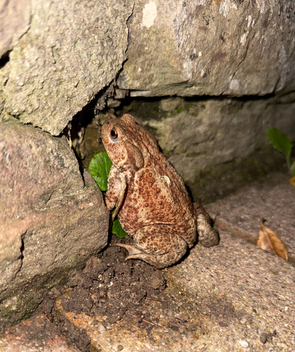
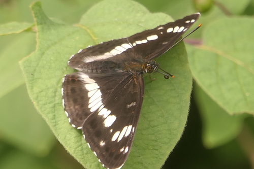
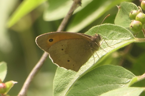
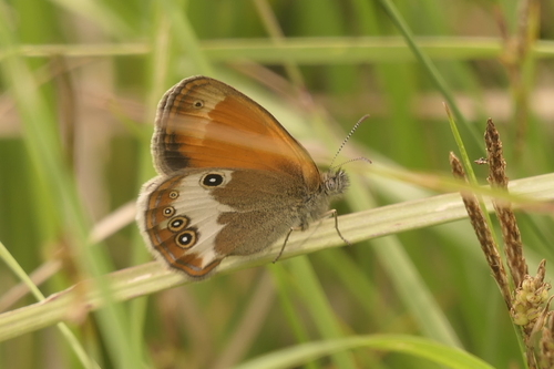
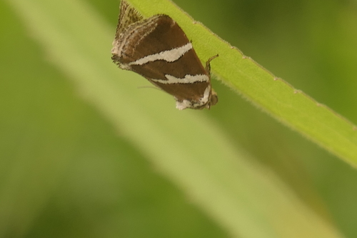
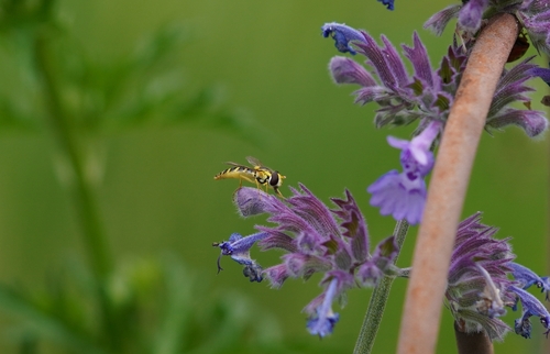
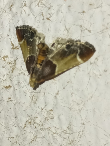

Research-grade observations from iNaturalist (within ~15 mi).
Events
Gallery
Geotagged photos within ~6 miles of Entringen, from Wikimedia Commons contributors.


Photos via Wikimedia Commons — see each image page for license & attribution.
Sources
- • Wikipedia
- • Wikimedia Commons
- • Wikidata
- • Open-Meteo Air Quality (CAMS)
- • USGS Earthquake Catalog (global feed)
- • GBIF (Global Biodiversity Information Facility)
- • iNaturalist
- • Open-Meteo / sunrise-sunset.org
- • Wikipedia Pageviews API
- • Wikidata SPARQL (CC0) — population, area, elevation, inception, head of government, Commons image