Browse / Germany / Bayern / Erlangen
Erlangen
Bayerncity

Erlangen
Total population
120,028
Founded
1002
Demographic figures from Destatis. Overview below cites Wikipedia and may reference a different year.
City facts
Sister cities
Facts from Wikidata (CC0).
Overview
Erlangen is a Middle Franconian city in Bavaria, Germany. It is the seat of the administrative district Erlangen-Höchstadt, and with 120,839 inhabitants, it is the smallest of the eight major cities in Bavaria. The number of inhabitants exceeded the threshold of 100,000 in 1974, making Erlangen a major city according to the statistical definition officially used in Germany.
Read more on WikipediaHistory & geography
History
In the prehistory of Bavaria, the Regnitz valley already played an important role as a passageway from north to south. In Spardorf a blade scraper was found in loess deposits, which could be attributed to the Gravettians, which places it at an age of about 25,000 years. Due to the relatively barren soils in the area farming and settlements could only be detected at the end of the Neolithic (2800–2200 BC). The stone plates were later reused as grave borders in the Urnfield period (1200–800 BC). Once investigated in 1913, it was found that the burial mound in Kosbach contained finds from the urnfield time as well as from the Hallstatt and La Tène period. Next to the hill, the so-called "Kosbacher Altar", which was originated in the late Hallstatt period (about 500 BC), was constructed. The altar is unique in this form and consists of a square stone setting with four upright, figural pillars at the corners and one under the center. The reconstruction of the site can be visited in the area, the middle guard is exhibited in the Erlangen city museum. Erlangen is first mentioned by name in a document from 1002. The origin of the name Erlangen is not clear. Attempts of local research to derive the name of alder (tree species) and anger (meadow ground), do not meet toponymical standards. As early as 976, Emperor Otto II had donated the church of St. Martin in Forchheim with accessories to the diocese of Würzburg. Emperor Henry II confirmed this donation in 1002 and authorized its transfer from the bishopric to the newly founded Haug Abbey. In contrast to the certificate of Otto II, the accessories, which also included the "villa erlangon" located in Radenzgau, were described in more detail here. At that time the Bavarian Nordgau extended to the Regnitz in the west and to the…
Geography
Erlangen is located on the edge of the Middle Franconian Basin and at the floodplain of the Regnitz River. The river divides the city into two halves of about equal sizes. In the western part of the city, the Rhine–Main–Danube Canal lies parallel to the Regnitz. The following municipalities or nonmunicipal areas are adjacent to the city of Erlangen. They are listed clockwise, starting in the north: The unincorporated area Mark, the municipalities Möhrendorf, Bubenreuth, Marloffstein, Spardorf, and Buckenhof, and the forest area Buckenhofer Forst (all belonging to the district of Erlangen-Höchstadt), the independent cities of Nuremberg and Fürth, the municipality Obermichelbach (district of Fürth), the city of Herzogenaurach, and the municipality Hessdorf (both in the district of Erlangen-Höchstadt). Erlangen officially consists of nine districts and 40 statistical districts, 39 of which are inhabited. In addition, the urban area is subdivided into twelve land registry and land law relevant districts whose boundaries deviate largely from those of the statistical districts. The districts and statistical districts are partly formerly independent municipalities, but also include newer settlements the names of which have also been coined as district names. The traditional and subjectively perceived boundaries of neighborhoods often deviate from the official ones. * Center ** 01: Altstadt ** 02: Markgrafenstadt ** 03: Rathausplatz ** 04: Tal * Regnitz ** 10: Heiligenloh ** 11: Alterlangen ** 12: Steinforst * North ** 20: Burgberg ** 21: Meilwald ** 22: Sieglitzhof ** 23: Loewenich ** 24: Buckenhofer Siedlung ** 25: Stubenloh * East ** 30: Röthelheim ** 32: Sebaldus ** 33: Röthelheimpark * South ** 40: Anger ** 41: Rathenau ** 42: Schönfeld ** 43: Forschungszentrum ** 44:…
Excerpted from the corresponding Wikipedia article (CC BY-SA).
Geography
Coordinates & boundaries from the US Census TIGER/Line shapefiles.
Climate
Air quality
Walkability
Amenities nearby
Wildlife & biodiversity
Most-observed species
- Eurasian BlackbirdTurdus merula Linnaeus, 1758 · Aves2,875
- Great TitParus major Linnaeus, 1758 · Aves2,606
- Carrion CrowCorvus corone Linnaeus, 1758 · Aves2,604
- MallardAnas platyrhynchos Linnaeus, 1758 · Aves2,371
- Eurasian Blue TitCyanistes caeruleus (Linnaeus, 1758) · Aves2,333
- Eurasian CootFulica atra Linnaeus, 1758 · Aves2,075
- Common Wood-PigeonColumba palumbus Linnaeus, 1758 · Aves2,003
- House SparrowPasser domesticus (Linnaeus, 1758) · Aves1,941
Citizen-science & research observations from the Global Biodiversity Information Facility (GBIF).
Earthquake history
Most recent
- M 2.6 — 2002-09-285 km SSW of Schwarzenbach, Germany
Events from the USGS Earthquake Catalog (global) (FDSN Event Web Service).
Photos
Sights & places nearby
Notable people from here


People born within ~10 km, from Wikidata (CC0). Click any name for their Wikipedia article.
Geography & sun
Elevation, sunrise/sunset and daylight from Open-Meteo. Solar climatology from NASA POWER.
Nearby airports
Public attention
Pageview totals from the Wikimedia Pageviews API.
Books about Erlangen
Search results from Open Library.
Recent natural events nearby
Ground air-quality sensors
Recently spotted species
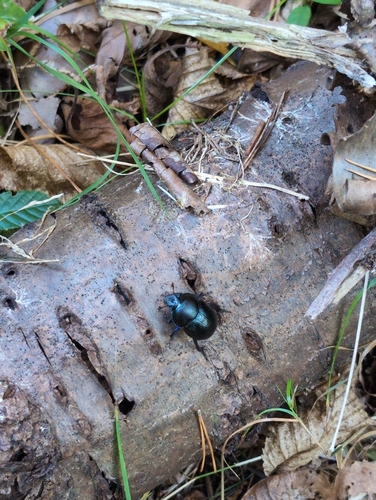
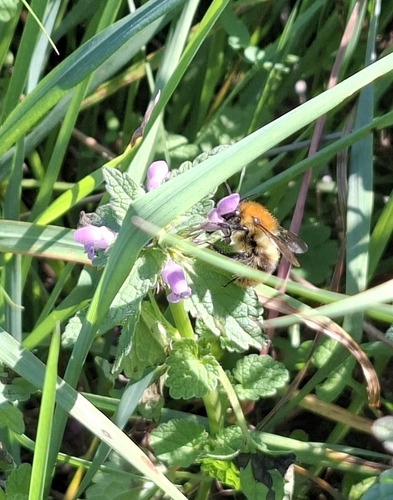
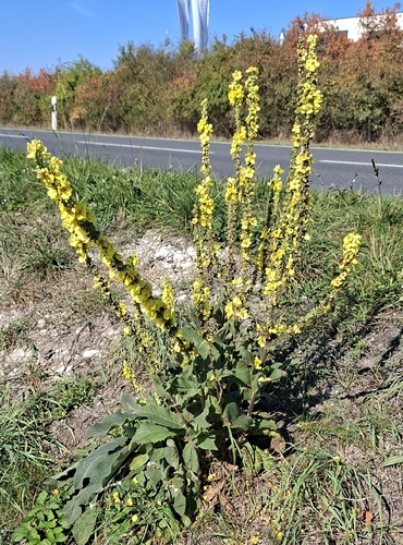
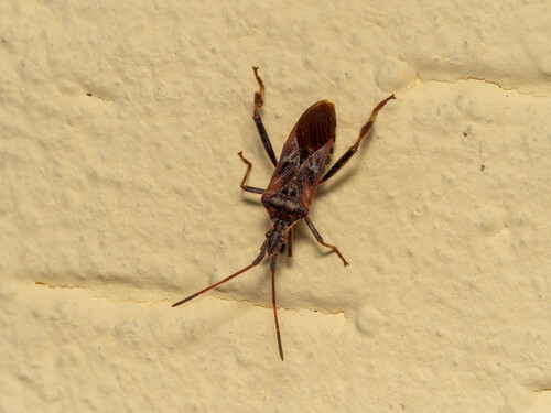
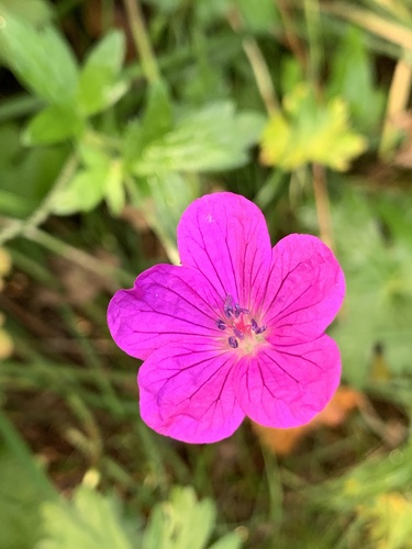
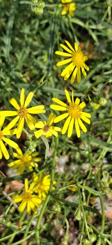
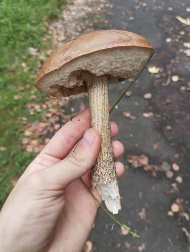
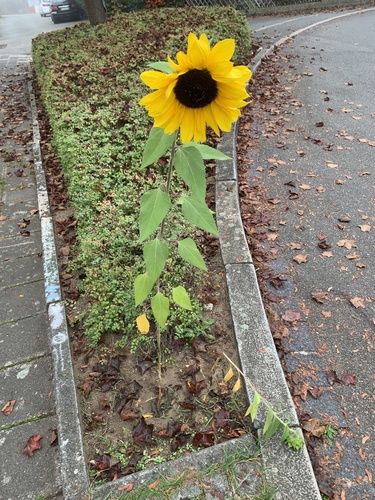
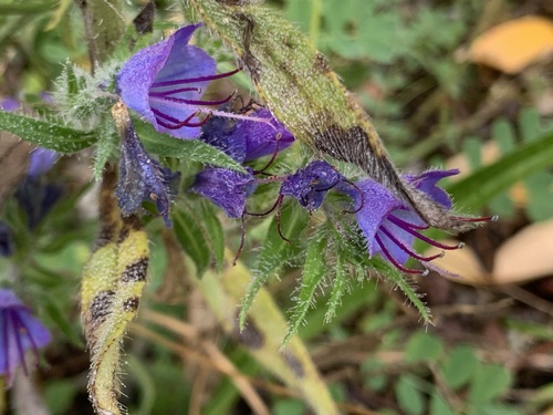
Research-grade observations from iNaturalist (within ~15 mi).
Events
Notable, recurring, and historical events associated with Erlangen, sourced from Wikidata.
- Bergkirchweihannual event
annual Volksfest (beer festival and travelling funfair) in Erlangen, Germany
- Long Night of the Sciencesplanned event
Source: Wikidata (CC0).
Gallery
Official Identifiers
Destatis — German Federal Statistical Office
- AGS
- 09562000
- Population (Wikidata)
- 117,806
- Wikidata
- Q3126
Amtlicher Gemeindeschlüssel (AGS) via Wikidata P439
Sources
- • Wikipedia
- • Wikidata
- • USGS Earthquake Catalog (global feed)
- • GBIF (Global Biodiversity Information Facility)
- • iNaturalist
- • Open-Meteo / sunrise-sunset.org
- • Wikipedia Pageviews API
- • Open Library
- • Wikidata SPARQL (CC0) — population, area, elevation, inception, head of government, Commons image
- • Destatis — German Federal Statistical Office — Amtlicher Gemeindeschlüssel (AGS) via Wikidata P439