Browse / Germany / Baden-Württemberg / Fachsenfeld
Fachsenfeld
Baden-Württembergvillage

Fachsenfeld
Total population
3,600
Demographic figures from Destatis. Overview below cites Wikipedia and may reference a different year.
City facts
Facts from Wikidata (CC0).
Overview
Fachsenfeld is a borough (Stadtbezirk) of the town Aalen in the German state of Baden-Württemberg.
Read more on WikipediaHistory & geography
History
Fachsenfeld was first mentioned in a document in 1230. Originally Fachsenfeld only was a small hamlet. One part of the town was owned by knightly families, the rest belonged to the prince provost of Ellwangen. In the end of the 16th century the knights and their peasants became evangelic (Lutheran); the Evangelical church was built in 1591. The part which belonged to Ellwangen remained Catholic. In 1894 the foundation was laid for the Catholic Herz-Jesu Church, whereupon it was sanctified on September 28, 1895. In 1972 Fachsenfeld was incorporated into Aalen. The hamlets Himmlingsweiler and Waiblingen belong to Fachsenfeld. Himmlingsweiler was established in the 18th century; its name was originally „Pfannenstiel“ (meaning "Panhandle"), Waiblingen located by the River Kocher, lies on the remains of a ring shaped castle stead.
Geography
From Fachsenfeld it is approximately 5 km linear-distance to the City Center of Aalen. The next districts are Dewangen (2 km) and Wasseralfingen (4 km). The Municipalities Hüttlingen and Abtsgmünd lie each 3 km apart.
Excerpted from the corresponding Wikipedia article (CC BY-SA).
Geography
Coordinates & boundaries from the US Census TIGER/Line shapefiles.
Climate
10-year averages from ERA5 reanalysis (Open-Meteo).
Air quality
Walkability
Amenities nearby
Wildlife & biodiversity
Most-observed species
- House SparrowPasser domesticus (Linnaeus, 1758) · Aves3,918
- Eurasian BlackbirdTurdus merula Linnaeus, 1758 · Aves3,497
- Great TitParus major Linnaeus, 1758 · Aves2,888
- Carrion CrowCorvus corone Linnaeus, 1758 · Aves2,834
- Eurasian MagpiePica pica (Linnaeus, 1758) · Aves2,551
- Eurasian Tree SparrowPasser montanus (Linnaeus, 1758) · Aves2,505
- MallardAnas platyrhynchos Linnaeus, 1758 · Aves2,229
- Common ChaffinchFringilla coelebs Linnaeus, 1758 · Aves2,163
Citizen-science & research observations from the Global Biodiversity Information Facility (GBIF).
Earthquake history
Most recent
- M 3.4 — 2022-10-16Baden-Wurttemberg, Germany
- M 2.5 — 2008-12-122 km ESE of Nehren, Germany
- M 2.7 — 2008-07-091 km WSW of Dußlingen, Germany
- M 2.5 — 2008-07-032 km W of Dußlingen, Germany
- M 2.6 — 2008-06-152 km S of Langenenslingen, Germany
- M 2.7 — 2008-06-143 km S of Diedorf, Germany
Events from the USGS Earthquake Catalog (global) (FDSN Event Web Service).
Photos
Sights & places nearby
Notable people from here
Geography & sun
Elevation, sunrise/sunset and daylight from Open-Meteo. Solar climatology from NASA POWER.
Nearby airports
Public attention
Pageview totals from the Wikimedia Pageviews API.
Books about this place
Recent natural events nearby
Ground air-quality sensors
Recently spotted species
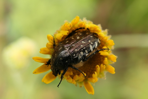
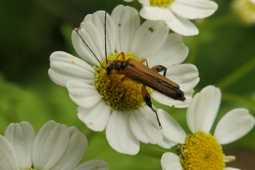
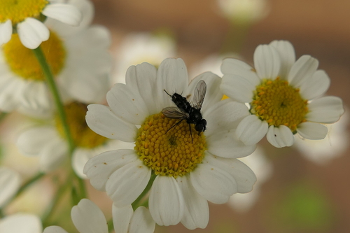
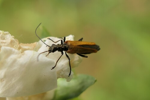
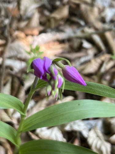
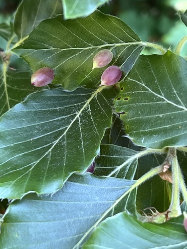
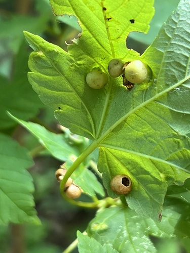
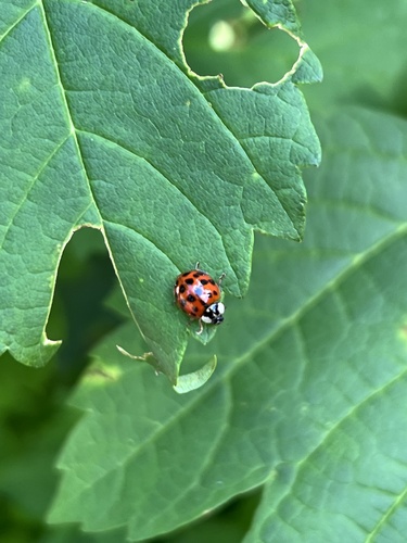
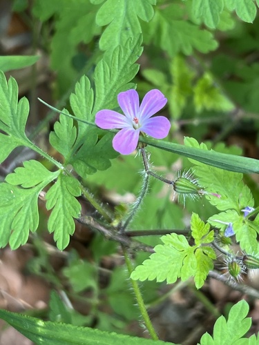
Research-grade observations from iNaturalist (within ~15 mi).
Events
Gallery
Geotagged photos within ~6 miles of Fachsenfeld, from Wikimedia Commons contributors.
.jpg) 0.1 mi
0.1 mi_in.jpg) 0.1 mi
0.1 mi_Chor.jpg) 0.1 mi
0.1 mi 0.3 mi
 0.3 mi
.jpg) 0.3 mi
0.3 mi 0.3 mi
_(cropped).jpg) 0.3 mi
0.3 mi.png) 0.3 mi
0.3 mi.png) 0.3 mi
0.3 mi.png) 0.3 mi
0.3 mi 0.4 mi
 0.4 mi
 0.4 mi
 0.4 mi
.png) 0.4 mi
0.4 mi.png) 0.4 mi
0.4 mi.png) 0.4 mi
0.4 mi 0.5 mi
 0.5 mi
 0.5 mi
 0.5 mi
.png) 0.5 mi
0.5 mi.png) 0.5 mi
0.5 miPhotos via Wikimedia Commons — see each image page for license & attribution.
Sources
- • Wikipedia
- • Open-Meteo (ERA5 reanalysis)
- • Wikimedia Commons
- • Wikidata
- • USGS Earthquake Catalog (global feed)
- • GBIF (Global Biodiversity Information Facility)
- • iNaturalist
- • Open-Meteo / sunrise-sunset.org
- • Wikipedia Pageviews API