Browse / Germany / Bayern / Fahrenzhausen
Fahrenzhausen
Bayernvillage

Fahrenzhausen
Total population
4,535
Air quality index
Demographic figures from Destatis. Overview below cites Wikipedia and may reference a different year.
City facts
Facts from Wikidata (CC0).
Overview
Fahrenzhausen is a municipality located on the river Amper in the district of Freising in Bavaria in Germany. The town is about 25 Kilometers north of Munich.
Read more on WikipediaHistory & geography
History
There is archeological evidence that the area was inhabited as far back as the Bronze Age. A Roman outpost was excavated as a station maintaining a section of the Roman Road from Augsburg to Regensburg just south of the modern community. The village was first mentioned by name in 1020 AD under the name "Varnolveshusa", (perhaps a certain "Farnolf" or "Varnolf" was the founder of the settlement). It was mentioned again in 1280 during the Wittelsbach Dynasty with the name 'Vornolzhusn'. A local Catholic church was first mentioned in 1315. Fahrenzhausen and the surrounding villages were most likely affected during the Thirty Years War, particularly during the Swedish march to Munich in 1632, or even the French attack in the Freising and Dachau area in 1648. During the Napoleonic Wars, French and Bavarian troops marched from Munich along the Isar towards Freising and Landshut, perhaps some units passing through the Fahrenzhausen area. They were en route to fight at the Battle of Landshut and the Battle of Eckmühl in April 1809. Fahrenzhausen became an independent political municipality during the Administrative Reforms in Bavaria in 1818. On June 25, 1844, a violent hailstorm destroyed all crops in Fahrenzhausen and neighboring villages. The next morning, the catholic faithful made a procession march from Fahrenzhausen to nearby Westerndorf, petitioning and praying to be spared such terrible storms in the future. The procession has taken place every year ever since, including during the two World Wars. It only had to be canceled in the Corona years 2020 and 2021. Near the end of the Second World War, units of the U.S. Army passed through Fahrenzhausen and the surrounding areas in late April 1945, shortly before the liberation of Dachau and Munich. During the…
Geography
Fahrenzhausen has several villages in its community: Appercha, Bachenhausen, Bergfeld, Grosseisenbach, Grossnöbach, Jarzt, Kammerberg, Lauterbach, Unterbruck, Viehbach and Weng. The areas around Fahrenzhausen consists of small rivers, creeks, marshland, forests and farmlands. The area is home to a variety of rare animal and plant species.
Excerpted from the corresponding Wikipedia article (CC BY-SA).
Geography
Coordinates & boundaries from the US Census TIGER/Line shapefiles.
Climate
Air quality
Current readings from Open-Meteo Air Quality API (Copernicus CAMS European reanalysis).
Walkability
Amenities nearby
Wildlife & biodiversity
Most-observed species
- Eurasian BlackbirdTurdus merula Linnaeus, 1758 · Aves3,301
- Great TitParus major Linnaeus, 1758 · Aves3,289
- Carrion CrowCorvus corone Linnaeus, 1758 · Aves3,233
- Eurasian Blue TitCyanistes caeruleus (Linnaeus, 1758) · Aves2,936
- Common ChaffinchFringilla coelebs Linnaeus, 1758 · Aves2,761
- Great Spotted WoodpeckerDendrocopos major (Linnaeus, 1758) · Aves2,347
- Common BuzzardButeo buteo (Linnaeus, 1758) · Aves2,086
- MallardAnas platyrhynchos Linnaeus, 1758 · Aves2,066
Citizen-science & research observations from the Global Biodiversity Information Facility (GBIF).
Earthquake history
Most recent
- M 3.8 — 2019-10-224 km SE of Ebbs, Austria
- M 2.7 — 2008-07-032 km ESE of Oberhaching, Germany
- M 2.7 — 2008-06-143 km S of Diedorf, Germany
- M 2.9 — 2006-01-313 km NNW of Mariastein, Austria
- M 3.8 — 2004-07-225 km SSE of Lenggries, Germany
- M 2.5 — 2003-11-131 km SE of Brandenberg, Austria
Events from the USGS Earthquake Catalog (global) (FDSN Event Web Service).
Photos
Sights & places nearby
Notable people from here


People born within ~10 km, from Wikidata (CC0). Click any name for their Wikipedia article.
Geography & sun
Elevation, sunrise/sunset and daylight from Open-Meteo. Solar climatology from NASA POWER.
Nearby airports
Public attention
Pageview totals from the Wikimedia Pageviews API.
Books about this place
Recent natural events nearby
Ground air-quality sensors
Recently spotted species
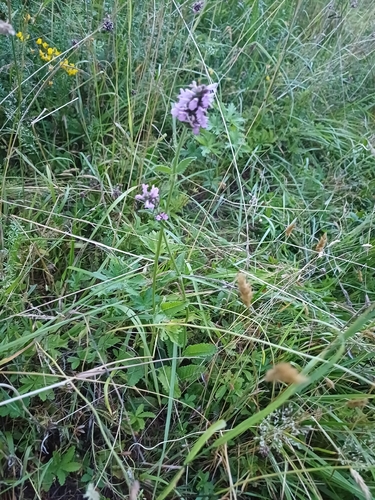
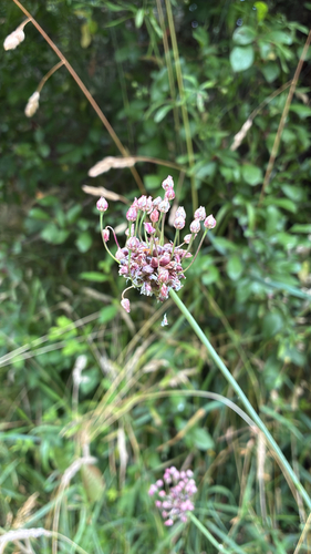
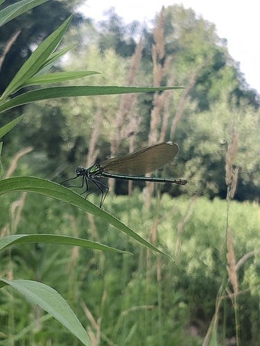

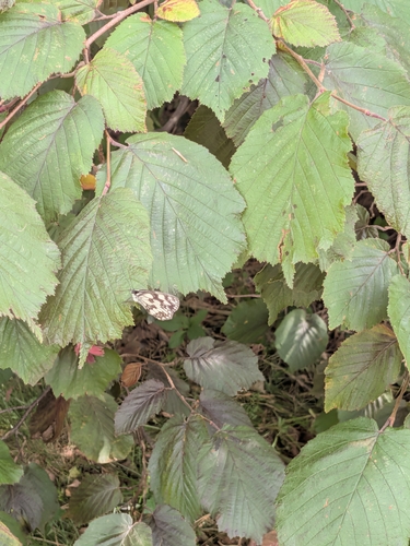
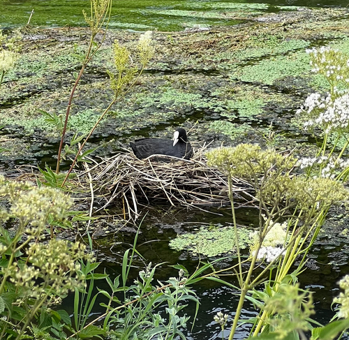
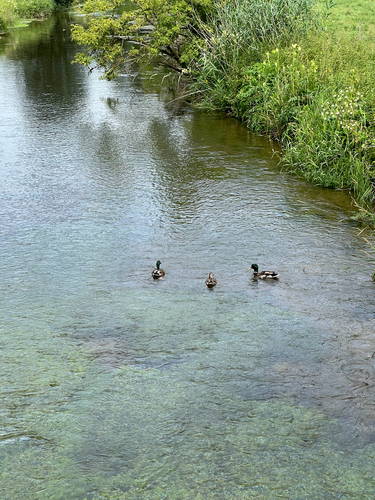
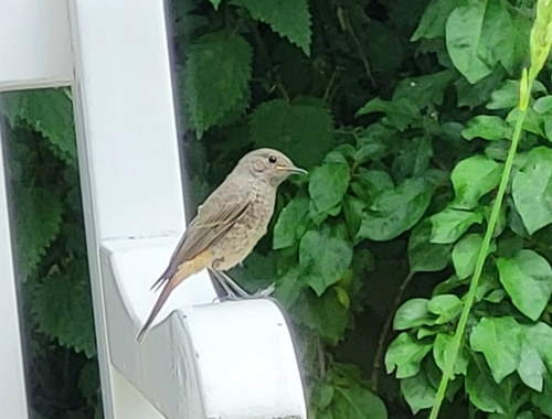
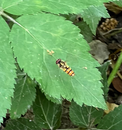
Research-grade observations from iNaturalist (within ~15 mi).
Events
Gallery
Official Identifiers
Destatis — German Federal Statistical Office
- AGS
- 09178123
- Population (Wikidata)
- 5,138
- Wikidata
- Q506233
Amtlicher Gemeindeschlüssel (AGS) via Wikidata P439
Sources
- • Wikipedia
- • Wikidata
- • Open-Meteo Air Quality (CAMS)
- • USGS Earthquake Catalog (global feed)
- • GBIF (Global Biodiversity Information Facility)
- • iNaturalist
- • Open-Meteo / sunrise-sunset.org
- • Wikipedia Pageviews API
- • Destatis — German Federal Statistical Office — Amtlicher Gemeindeschlüssel (AGS) via Wikidata P439