Browse / Germany / Brandenburg / Falkensee
Falkensee
Brandenburgtown

Falkensee
Total population
40,900
Founded
1923
Demographic figures from Destatis. Overview below cites Wikipedia and may reference a different year.
City facts
Facts from Wikidata (CC0).
Overview
Falkensee is a town in the Havelland district, Brandenburg, Germany. It is the most populated municipality of its district and it is situated at the western border of Berlin.
Read more on WikipediaHistory & geography
History
Falkensee was formed in 1923 through the merger of Falkenhagen and Seegefeld. Its name comes from Falkenhagen and Seegefeld. During World War II, the Demag-Panzerwerke subcamp of the Sachsenhausen concentration camp was located here. They performed forced labor in the workshops of the German Reichsbahn and the DEMAG tank factory in Albrechtshof. Because the prisoners had learned of the murders during the death march of prisoners from the Lieberose subcamp to Sachsenhausen, they refused to comply with the order to evacuate on April 20, 1945. After the guards fled, the camp was liberated by arriving Soviet troops. In November, 1945, the city issued six postage stamps of its own depicting a dove of peace. A memorial to the victims is located on the eastern edge of the town near the border with Spandau. The municipality shared its borders with the former West Berlin and so, between 1961 and 1990, it was separated from it by the Berlin Wall.
Geography
Falkensee is located on the northwestern edge of Berlin, in the western part of the Warsaw-Berlin glacial valley and in the Zehdenick-Spandau Havel lowlands. To the north, Falkensee borders Schönwalde, to the west Brieselang, and to the south Dallgow-Döberitz. To the east, it borders the districts of Falkenhagener Feld and Staaken, which belong to Berlin-Spandau. The development of Falkensee merges seamlessly into that of Berlin-Spandau to the east and Dallgow-Döberitz to the south. The largest body of water, the Falkenhagener See, is in the north of the city. Scheinwerferberg, in the north of the town, is a young geomorphological inland dune that was formed at the end of the Weichselian glaciation, and is high, above sea level. It is named after the anti-aircraft searchlights that were installed during World War II as part of the Berlin air defences.
Excerpted from the corresponding Wikipedia article (CC BY-SA).
Geography
Coordinates & boundaries from the US Census TIGER/Line shapefiles.
Climate
Air quality
Walkability
Amenities nearby
Wildlife & biodiversity
Earthquake history
Photos
Sights & places nearby
Notable people from here


People born within ~10 km, from Wikidata (CC0). Click any name for their Wikipedia article.
Nearby places in Brandenburg
Geography & sun
Elevation, sunrise/sunset and daylight from Open-Meteo. Solar climatology from NASA POWER.
Nearby airports
Public attention
Pageview totals from the Wikimedia Pageviews API.
Books about Falkensee
Search results from Open Library.
Recent natural events nearby
Ground air-quality sensors
Recently spotted species
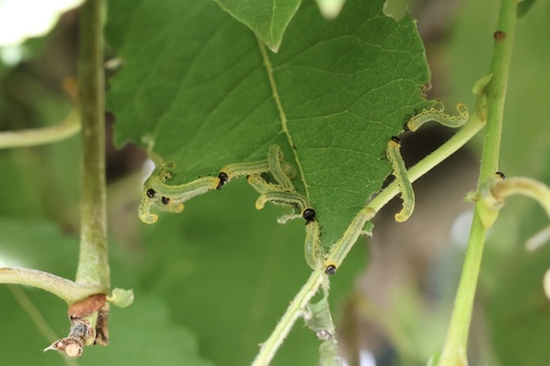
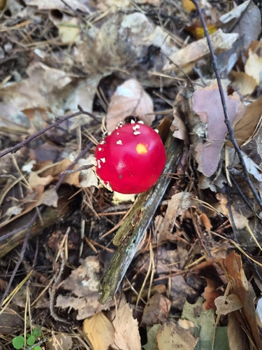
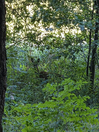
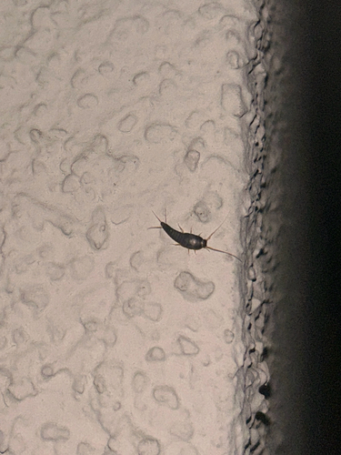
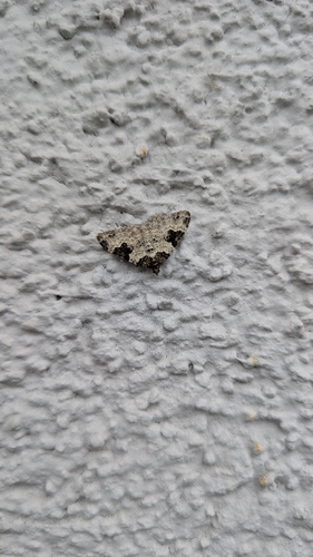


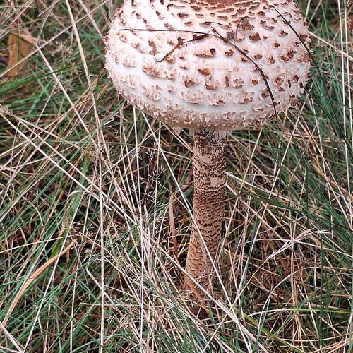
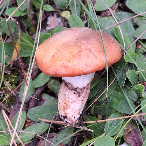
Research-grade observations from iNaturalist (within ~15 mi).
Events
Gallery
Official Identifiers
Destatis — German Federal Statistical Office
- AGS
- 12063080
- Population (Wikidata)
- 45,005
- Wikidata
- Q14842
Amtlicher Gemeindeschlüssel (AGS) via Wikidata P439
Sources
- • Wikipedia
- • Wikidata
- • iNaturalist
- • Open-Meteo / sunrise-sunset.org
- • Wikipedia Pageviews API
- • Open Library
- • Wikidata SPARQL (CC0) — population, area, elevation, inception, head of government, Commons image
- • Destatis — German Federal Statistical Office — Amtlicher Gemeindeschlüssel (AGS) via Wikidata P439