Browse / Germany / Bayern / Forchheim
Forchheim
Bayerntown

Forchheim
Total population
32,907
Demographic figures from Destatis. Overview below cites Wikipedia and may reference a different year.
City facts
Facts from Wikidata (CC0).
Overview
Forchheim is a town in Upper Franconia in northern Bavaria, and also the seat of the administrative district of Forchheim. Forchheim is a former royal city, and is sometimes called the Gateway to the Franconian Switzerland, referring to the region of outstanding natural beauty to the north east of the town. Nowadays Forchheim is most famous for its ten day long beer and music festival (Annafest) which takes place in late July in an idyllic wooded hillside, home to 24 beer gardens, on the outskirts of the town. Forchheim's population, as of December 2013, was 30,705, and its land area is 44.95 square kilometres. Its position is 49° 44' N, 11° 04' E and its elevation is 265 metres above sea level.
Read more on WikipediaHistory & geography
History
In the 8th century, a royal court and a palace were built in Forchheim. In 805, the town was mentioned in the Diedenhofener Kapitular, a capitulary (royal order) from Charlemagne forbidding the two towns that it named – Magdeburg was the other – to trade weapons with the Slavs, issued at Diedenhofen (now Thionville, France). This is the first documentary evidence of the town's existence. In the following centuries, Forchheim saw many imperial diets and princely gatherings. On 10 November, 911, Conrad I was elected and crowned the first "German" king. On 1 November 1007, Emperor Heinrich II granted Forchheim, then under Crown ownership, the Bishopric of Bamberg. By 1039, however, Emperor Heinrich III had brought the town back under Imperial administration until it was finally made part of the Bishopric of Bamberg on 13 July 1063, a status which lasted up until the secularization in 1802–1803. In Heinrich IV's time, Rudolf von Rheinfelden was chosen to be the Gegenkönig ("anti-king") on 15 March 1077, in Forchheim. Sometime between 1200 and 1220, Forchheim was raised to the status of a city, and was granted its current coat of arms. Owing to Forchheim's fortifications, it got through the Thirty Years' War without being overrun even once. The Prince-Bishop of Bamberg fled the Swedes in this war, seeking shelter for himself, and also for his cathedral treasure, in the strongly defended fortress town of Forchheim. The Swedes laid siege to the town several times from 1632 to 1634. It was also in this era of Forchheim's history that some of the townsfolk earned the rather unflattering nickname Mauerscheißer ("wall shitters"). This came from their practice of defecating over the city walls during the siege, to demonstrate to the Swedes that there was still enough to eat…
Excerpted from the corresponding Wikipedia article (CC BY-SA).
Geography
Coordinates & boundaries from the US Census TIGER/Line shapefiles.
Climate
Air quality
Walkability
Amenities nearby
Wildlife & biodiversity
Earthquake history
Photos
Sights & places nearby
Notable people from here
Nearby places in Bayern
Geography & sun
Elevation, sunrise/sunset and daylight from Open-Meteo. Solar climatology from NASA POWER.
Nearby airports
Public attention
Pageview totals from the Wikimedia Pageviews API.
Books about Forchheim
Search results from Open Library.
Recent natural events nearby
Ground air-quality sensors
Recently spotted species

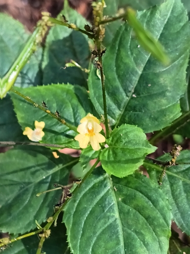

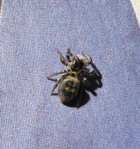

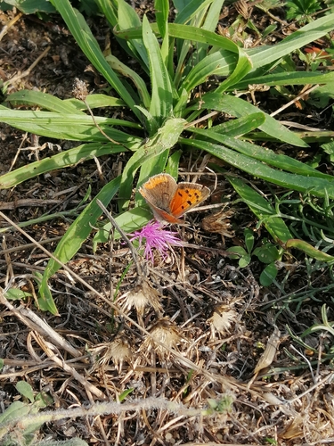
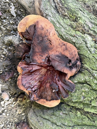
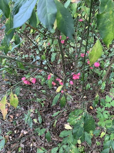
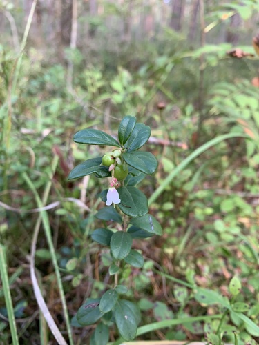
Research-grade observations from iNaturalist (within ~15 mi).
Events
Gallery
Official Identifiers
Destatis — German Federal Statistical Office
- AGS
- 09474126
- Population (Wikidata)
- 33,610
- Wikidata
- Q16116
Amtlicher Gemeindeschlüssel (AGS) via Wikidata P439
Sources
- • Wikipedia
- • Wikidata
- • iNaturalist
- • Open-Meteo / sunrise-sunset.org
- • Wikipedia Pageviews API
- • Open Library
- • Wikidata SPARQL (CC0) — population, area, elevation, inception, head of government, Commons image
- • Destatis — German Federal Statistical Office — Amtlicher Gemeindeschlüssel (AGS) via Wikidata P439