Browse / Germany / Brandenburg / Frankfurt (Oder)
Frankfurt (Oder)
Brandenburgtown

Frankfurt (Oder)
Total population
61,969
Founded
1201
Air quality index
Demographic figures from Destatis. Overview below cites Wikipedia and may reference a different year.
City facts
Sister cities
Facts from Wikidata (CC0).
Overview
Frankfurt (Oder), also known as Frankfurt an der Oder (German: [ˈfʁaŋkfʊʁt ʔan deːɐ̯ ˈʔoːdɐ], lit. 'Frankfurt on the Oder'; Central Marchian: Frankfort an de Oder) is the fourth-largest city in the German state of Brandenburg after Potsdam, Cottbus and Brandenburg an der Havel. With around 58,000 inhabitants, it is the largest German city on the Oder River, and one of the easternmost cities in modern Germany. Frankfurt sits on the western bank of the Oder, opposite the Polish town of Słubice, which was a part of Frankfurt until 1945, and called Dammvorstadt until then. The city is about 80 kilometres (50 mi) east of Berlin, in the south of the historical region Lubusz Land. Within Frankfurt's city limits lies the recreational area Lake Helenesee.
Read more on WikipediaHistory & geography
History
Prior to 1249, a West Slavic settlement named Zliwitz along with the Lubusz Land was part of the Kingdom of Poland. The Piast duke Henry the Bearded granted Zliwitz staple rights in 1225. In 1226, construction of the St. Nicholas Church (today's Friedenskirche) began. In 1249, the settlement became part of the Margraviate of Brandenburg. The town of Frankfurt received its charter in 1253 at the Brandendamm. The early settlers lived on the western banks of the Oder; later the town was extended to the eastern bank. After a war broke out over control of the region in 1319, the town came under the control of the Duchy of Pomerania. In 1319, Wartislaw IV, Duke of Pomerania, granted new privileges to the town. The town fell again to Brandenburg in 1324. In the Late Middle Ages, the town dominated the river trade between Wrocław and Szczecin. In 1430, Frankfurt joined the Hanseatic League. In 1432, the Czech Hussites captured the town. In the 16th century, many Polish exports, including grain, wood, ash, tar and hemp, were floated from western Poland via Frankfurt to the port of Szczecin, with the high Brandenburgian customs duties on Polish goods lowered in the early 17th century. In April 1631, during the Thirty Years' War, Frankfurt was the site of the Battle of Frankfurt an der Oder between the Swedish Empire and the Holy Roman Empire. stormed the town and destroyed many buildings, e.g. the Georgen Hospital. The result was a Swedish victory. In the 16th century the oldest church of the town (today's Friedenskirche) was secularized and was even used as a granary, and from the 17th century it served as the church of the French Huguenots. The city was briefly occupied by the Russian Imperial Army during the Seven Years' War, in August 1759, in the prelude to the battle…
Excerpted from the corresponding Wikipedia article (CC BY-SA).
Geography
Coordinates & boundaries from the US Census TIGER/Line shapefiles.
Climate
Air quality
Current readings from Open-Meteo Air Quality API (Copernicus CAMS European reanalysis).
Walkability
Amenities nearby
Wildlife & biodiversity
Most-observed species
- Hooded CrowCorvus cornix Linnaeus, 1758 · Aves852
- Great TitParus major Linnaeus, 1758 · Aves848
- Common Wood-PigeonColumba palumbus Linnaeus, 1758 · Aves832
- Eurasian Blue TitCyanistes caeruleus (Linnaeus, 1758) · Aves769
- Eurasian BlackbirdTurdus merula Linnaeus, 1758 · Aves756
- House SparrowPasser domesticus (Linnaeus, 1758) · Aves657
- European StarlingSturnus vulgaris Linnaeus, 1758 · Aves562
- MallardAnas platyrhynchos Linnaeus, 1758 · Aves529
Citizen-science & research observations from the Global Biodiversity Information Facility (GBIF).
Earthquake history
Events from the USGS Earthquake Catalog (global) (FDSN Event Web Service).
Photos
Sights & places nearby
Notable people from here


People born within ~10 km, from Wikidata (CC0). Click any name for their Wikipedia article.
Nearby places in Brandenburg
- Lebus6 mi away · pop. 3,144
- Sieversdorf7.9 mi away · pop. 276
- Biegen8.1 mi away
- Müllrose8.6 mi away · pop. 4,463
- Petersdorf8.7 mi away
- Ziltendorf9.8 mi away · pop. 1,570
- Schernsdorf11 mi away
- Falkenhagen (Mark)11.5 mi away · pop. 750
- Sachsendorf11.8 mi away
- Neubrück (Spree)12.5 mi away
- Ragow14.6 mi away
- Diehlo14.8 mi away
Geography & sun
Elevation, sunrise/sunset and daylight from Open-Meteo. Solar climatology from NASA POWER.
Nearby airports
Public attention
Pageview totals from the Wikimedia Pageviews API.
Books about Frankfurt (Oder)

Search results from Open Library.
Recent natural events nearby
Ground air-quality sensors
Recently spotted species
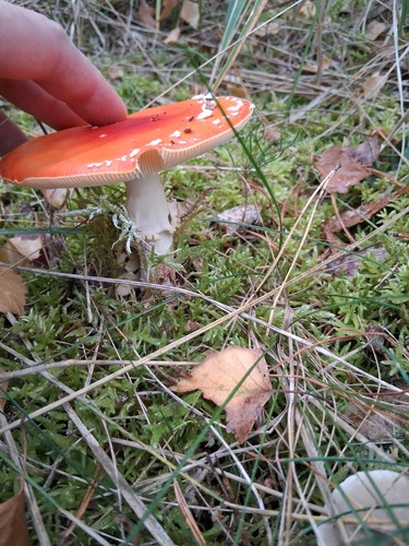

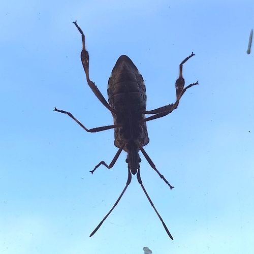
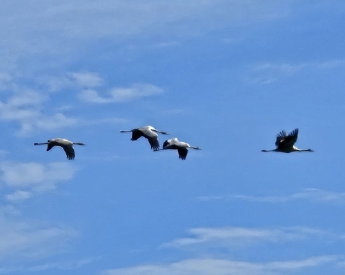
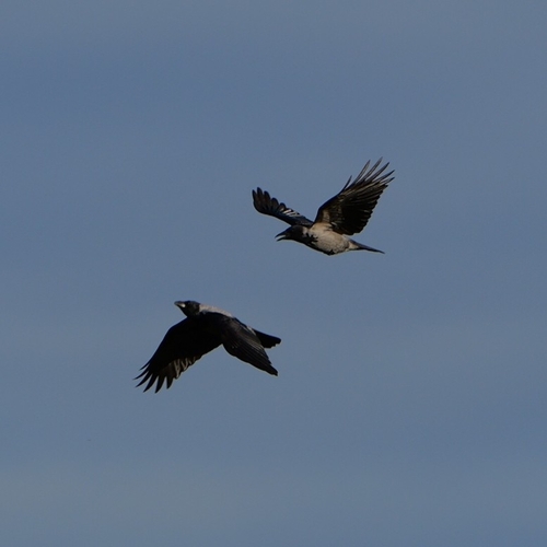
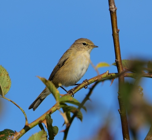
Research-grade observations from iNaturalist (within ~15 mi).
Events
Gallery
Official Identifiers
Destatis — German Federal Statistical Office
- AGS
- 12053000
- Population (Wikidata)
- 58,818
- Wikidata
- Q4024
Amtlicher Gemeindeschlüssel (AGS) via Wikidata P439
Sources
- • Wikipedia
- • Wikidata
- • Open-Meteo Air Quality (CAMS)
- • USGS Earthquake Catalog (global feed)
- • GBIF (Global Biodiversity Information Facility)
- • iNaturalist
- • Open-Meteo / sunrise-sunset.org
- • Wikipedia Pageviews API
- • Open Library
- • Wikidata SPARQL (CC0) — population, area, elevation, inception, head of government, Commons image
- • Destatis — German Federal Statistical Office — Amtlicher Gemeindeschlüssel (AGS) via Wikidata P439