Browse / Germany / Brandenburg / Frauendorf
Frauendorf
Brandenburgvillage

Featured view
Frauendorf
Total population
806
Coordinates51.42°, 13.77°
Demographic figures from Destatis. Overview below cites Wikipedia and may reference a different year.
Loading additional data from public sources…0 / 11
CensusWikipediaWeatherPlacesPeopleEnvironmentHealth & SchoolsRelatedGeography & CultureLive MonitoringEvents & Gallery
0% completeCity facts
Overview
Frauendorf is a municipality in the Oberspreewald-Lausitz district, in Upper Lusatia, Brandenburg, Germany.
Read more on WikipediaHistory & geography
Geography
Latitude
51.4160
Longitude
13.7692
Water area
—
Coordinates & boundaries from the US Census TIGER/Line shapefiles.
Climate
Air quality
Walkability
Amenities nearby
Wildlife & biodiversity
Earthquake history
Photos
Sights & places nearby
Notable people from here
W
Wilhelm Braune
German philologist (1850–1926)

Paul Klatt
German General and Knight's Cross recipient (1896-1973)

Benno Pludra
German children's author (1925–2014)
C
Christian Mileta
German historian
H
Heinz Langer
German diplomat
E
Ernst Rosenberg
German judge

Eberhard Matthes
German educationist (1915-1998)
H
Hellfried Dahlmann
German classical philologist (1905–1988)
E
Erich Kunisch
German painter (1929-2003)
J
Johann Gottfried Immanuel Berger
German theologian
F
Franziska Bennemann
German politician (1905–1983)
H
Heinrich Nicklisch
German economist (1876-1946)
H
Helmut Kalex
German historian of ancient history (1931–2011)
W
Werner Rosenberg
German judge
J
Joachim Schmiele
German politician
R
Richard Süssmuth
German artist and entrepreneur (1900–1974)
People born within ~10 km, from Wikidata (CC0). Click any name for their Wikipedia article.
Nearby places in Brandenburg
- Tettau2 mi away · pop. 915
- Großkmehlen3.2 mi away · pop. 1,325
- Ruhland5.1 mi away · pop. 3,747
- Schwarzbach7.6 mi away · pop. 803
- Kostebrau8.1 mi away
- Schipkau9.1 mi away · pop. 8,176
- Klettwitz10.3 mi away
- Sorno11.4 mi away
- Reichenhain15 mi away
- Theisa15.5 mi away · pop. 365
- Dobra15.5 mi away · pop. 188
- Massen15.6 mi away · pop. 2,062
Geography & sun
Avg solar (kWh/m²/day)
2.91
Annual solar (kWh/m²)
1,061
Elevation, sunrise/sunset and daylight from Open-Meteo. Solar climatology from NASA POWER.
Nearby airports
Public attention
Wikipedia views (last 30 days)
5
Avg daily Wikipedia views
0
Attention level
Obscure
Pageview totals from the Wikimedia Pageviews API.
Books about this place
Recent natural events nearby
Ground air-quality sensors
Recently spotted species
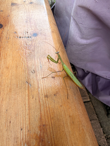
European Mantis
Mantis religiosa
Seen 2026-09-26
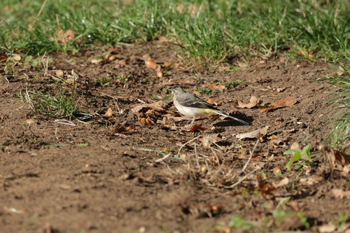
Grey Wagtail
Motacilla cinerea
Seen 2026-09-26
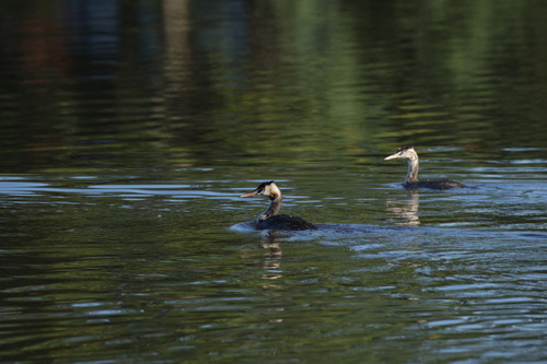
Great Crested Grebe
Podiceps cristatus
Seen 2026-09-26
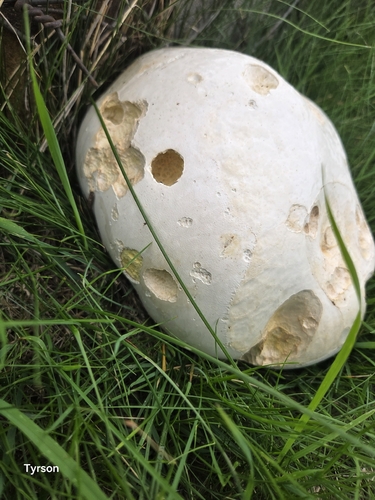
giant puffball
Calvatia gigantea
Seen 2026-09-20
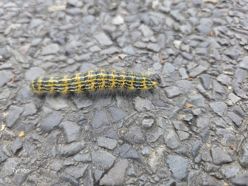
Buff-tip
Phalera bucephala
Seen 2026-09-20
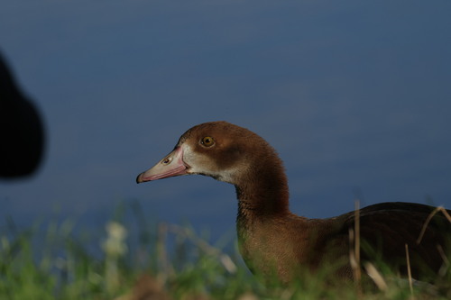
Egyptian Goose
Alopochen aegyptiaca
Seen 2026-09-19
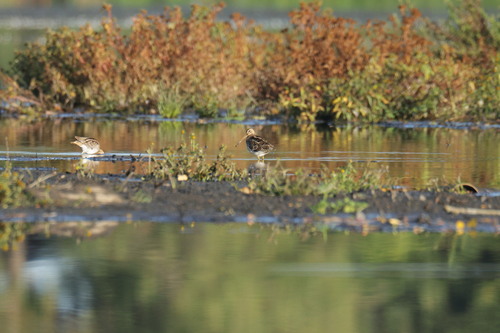
Common Snipe
Gallinago gallinago
Seen 2026-09-19
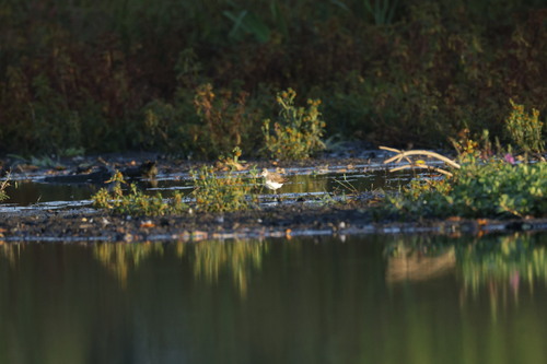
Green Sandpiper
Tringa ochropus
Seen 2026-09-19
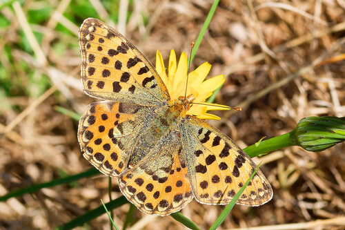
Queen of Spain Fritillary
Issoria lathonia
Seen 2026-09-18
Research-grade observations from iNaturalist (within ~15 mi).
Events
Gallery
Official Identifiers
Destatis — German Federal Statistical Office
- AGS
- 12066064
- Population (Wikidata)
- 707
- Wikidata
- Q581728
Amtlicher Gemeindeschlüssel (AGS) via Wikidata P439
Sources
- • Wikipedia
- • Wikidata
- • iNaturalist
- • Open-Meteo / sunrise-sunset.org
- • Wikipedia Pageviews API
- • Destatis — German Federal Statistical Office — Amtlicher Gemeindeschlüssel (AGS) via Wikidata P439