Browse / Germany / Baden-Württemberg / Freiburg im Breisgau
Freiburg im Breisgau
Baden-Württembergcity

Freiburg im Breisgau
Total population
220,286
Air quality index
Demographic figures from Destatis. Overview below cites Wikipedia and may reference a different year.
City facts
Facts from Wikidata (CC0).
Overview
Freiburg im Breisgau, usually shortened to Freiburg, is the fourth-largest city in the German state of Baden-Württemberg after Stuttgart, Mannheim and Karlsruhe. Its built-up area has a population of about 355,000 (2021), while the greater Freiburg metropolitan area has about 660,000 (2018).
Read more on WikipediaHistory & geography
History
Freiburg was founded by Konrad and Duke Berthold III of the House of Zähringen in 1120 as a free market town; hence its name, which translates to "free (or independent) town". Frei means "free", and Burg, like the modern English word "borough", was used in those days for an incorporated city or town, usually one with some degree of autonomy. The German word Burg also means "a fortified town", as in Hamburg. Thus, it is likely that the name of this place means a "fortified town of free citizens". This town was strategically located at a junction of trade routes between the Mediterranean Sea and the North Sea regions, and the Rhine and Danube rivers. In 1200, Freiburg's population numbered approximately 6,000 people. At about that time, under the rule of Bertold V, the last duke of Zähringen, the town began construction of its Freiburg Minster on the site of an older parish church. In August 1644, it was the site of the Battle of Freiburg, said to be the bloodiest battle of the war in terms of percentage of casualties. Between 1648 and 1805, when the town was not under French occupation, it was the administrative headquarters of Further Austria, the Habsburg territories in southwest Germany. In 1805 the town, together with the Breisgau and Ortenau areas, became part of Baden. In 1828, after the Archdiocese of Freiburg was founded, Freiburg became seat of a Catholic archbishop. Freiburg was heavily bombed during World War II. In May 1940, aircraft of the Luftwaffe mistakenly dropped approximately 60 bombs on Freiburg near the railway station, killing 57 people, most of them civilians and including 22 children. This was reported by the official German news agency as an attack by the Western Allies, and retaliation against them was threatened. The Freiburg police…
Geography
Freiburg is bordered by the Black Forest mountains Rosskopf and Bromberg to the east, Schönberg and Tuniberg to the south, with the Kaiserstuhl hill region to the west. The Köppen climate classification classifies Freiburg's climate as temperate oceanic climate (Köppen: Cfb; Trewartha: Dobk). Thus, July and August are, along with Karlsruhe, the warmest within Germany. Winters are moderate but usually with some frosts at night. More year-round rain occurs here than in the Rhine plateau. The city is close to the Kaiserstuhl, a range of hills of volcanic origin located a few kilometers away, which is one of the warmest places in Germany and therefore considered as a viticultural area. The Freiburg im Breisgau weather station has recorded the following extreme values: | source 2 = Weatheronline.de, Meteociel.fr, weather-atlas, and wetterdienst | source = }}
Excerpted from the corresponding Wikipedia article (CC BY-SA).
Geography
Coordinates & boundaries from the US Census TIGER/Line shapefiles.
Climate
Air quality
Current readings from Open-Meteo Air Quality API (Copernicus CAMS European reanalysis).
Walkability
Amenities nearby
Wildlife & biodiversity
Most-observed species
- Zoropsid spiderZoropsis spinimana (Dufour, 1820) · Arachnida4,778
- Eurasian BlackbirdTurdus merula Linnaeus, 1758 · Aves4,134
- Great TitParus major Linnaeus, 1758 · Aves3,499
- Carrion CrowCorvus corone Linnaeus, 1758 · Aves3,254
- Common ChaffinchFringilla coelebs Linnaeus, 1758 · Aves2,981
- House SparrowPasser domesticus (Linnaeus, 1758) · Aves2,895
- Eurasian Blue TitCyanistes caeruleus (Linnaeus, 1758) · Aves2,684
- Common BuzzardButeo buteo (Linnaeus, 1758) · Aves2,635
Citizen-science & research observations from the Global Biodiversity Information Facility (GBIF).
Earthquake history
Most recent
- M 3.5 — 2024-06-271 km SSW of Todtmoos, Germany
- M 3.4 — 2022-10-16Baden-Wurttemberg, Germany
- M 3.9 — 2022-09-101 km WSW of Zimmersheim, France
- M 4 — 2022-07-092 km NNE of Grosselfingen, Germany
- M 4.1 — 2021-06-262 km SE of Hœrdt, France
- M 3.1 — 2018-05-042 km W of Schliengen, Germany
Events from the USGS Earthquake Catalog (global) (FDSN Event Web Service).
Photos
Sights & places nearby
Notable people from here


People born within ~10 km, from Wikidata (CC0). Click any name for their Wikipedia article.
Nearby places in Baden-Württemberg
- Umkirch4.7 mi away
- Kirchzarten5.4 mi away
- St. Nikolaus5.9 mi away
- Opfingen6.1 mi away
- Hofsgrund6.9 mi away
- Münstertal10.2 mi away · pop. 5,211
- Bleibach11.4 mi away
- Heitersheim12.2 mi away · pop. 5,833
- Geschwend13.9 mi away
- Schönau im Schwarzwald14.6 mi away · pop. 2,523
- Orschweier19.6 mi away
- Kandern21.3 mi away · pop. 4,000
Geography & sun
Elevation, sunrise/sunset and daylight from Open-Meteo. Solar climatology from NASA POWER.
Nearby airports
Public attention
Pageview totals from the Wikimedia Pageviews API.
Books about Freiburg im Breisgau

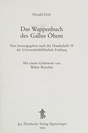
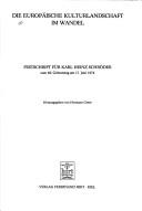
Search results from Open Library.
Recent natural events nearby
Ground air-quality sensors
Recently spotted species
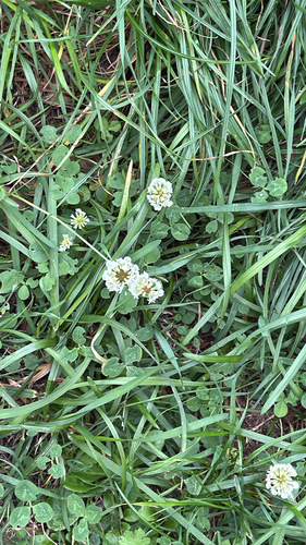
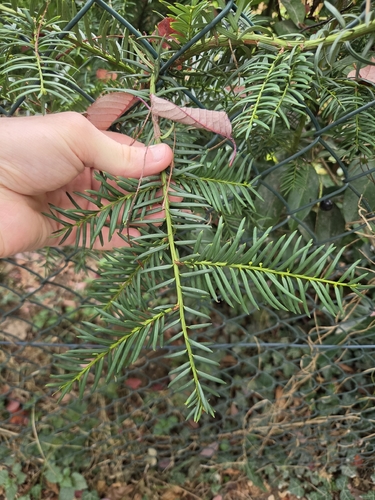
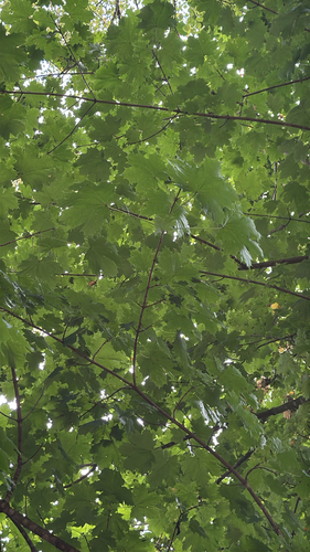
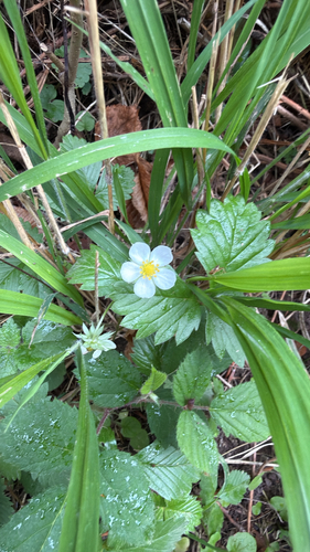
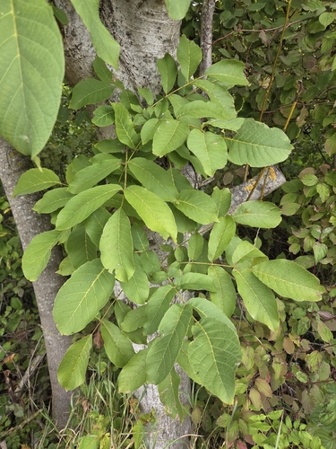
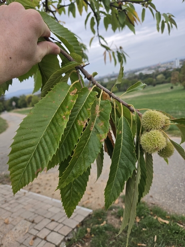
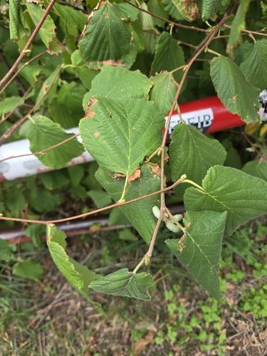
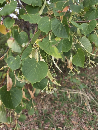
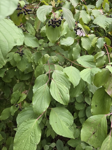
Research-grade observations from iNaturalist (within ~15 mi).
Events
Notable, recurring, and historical events associated with Freiburg im Breisgau, sourced from Wikidata.
- Außerordentlicher FDP-Bundesparteitag 1983Jan 29, 1983planned event
- Außerordentlicher FDP-Bundesparteitag 1980Jun 5, 1980planned event
- Q26836544May 30, 1976planned event
- Tamburi Mundiplanned event
- Q133092289Oct 9, 1967recurring event edition
Source: Wikidata (CC0).
Gallery
Geotagged photos within ~6 miles of Freiburg im Breisgau, from Wikimedia Commons contributors.
_3809.jpg)


_jm9371.jpg)
_jm5990.jpg)
_jm5991.jpg)
_jm6010.jpg)
_jm6011.jpg)
_jm01581.jpg)

.jpg)
.jpg)


_15.jpg)
.jpg)
.jpg)
Photos via Wikimedia Commons — see each image page for license & attribution.
Official Identifiers
Destatis — German Federal Statistical Office
- AGS
- 08311000
- Population (Wikidata)
- 237,244
- Wikidata
- Q2833
Amtlicher Gemeindeschlüssel (AGS) via Wikidata P439
Sources
- • Wikipedia
- • Wikimedia Commons
- • Wikidata
- • Open-Meteo Air Quality (CAMS)
- • USGS Earthquake Catalog (global feed)
- • GBIF (Global Biodiversity Information Facility)
- • iNaturalist
- • Open-Elevation
- • Open-Meteo / sunrise-sunset.org
- • Wikipedia Pageviews API
- • Open Library
- • Wikidata SPARQL (CC0) — population, area, elevation, inception, head of government, Commons image
- • Destatis — German Federal Statistical Office — Amtlicher Gemeindeschlüssel (AGS) via Wikidata P439