Browse / Germany / Baden-Württemberg / Friedrichsdorf
Friedrichsdorf
Baden-Württembergvillage
Demographic figures from Destatis. Overview below cites Wikipedia and may reference a different year.
City facts
Facts from Wikidata (CC0).
Overview
As a village in Baden-Württemberg, Germany, Friedrichsdorf occupies its own corner of the country. Detailed population figures are not currently catalogued in the open data sources we track. The settlement sits at 49.519°, 9.053°, a temperate location in the northern hemisphere. Climatically, locations at this latitude tend to experience four distinct seasons with warm summers and cold winters. Solar-resource estimates put the area at about 1,158 kWh/m² of solar irradiance per year with sunshine for roughly 45% of daylight hours. Further detail — demographics, climate, nearby amenities and natural-hazard data — is compiled below from public open-data sources.
Summary composed automatically from structured open data on this page. See our Terms for details.
History & geography
History
The town's founding in 1687 goes back to the persecution of the Huguenots in France, where millions of them fled their country. Part of this exodus was granted asylum by Landgrave Friedrich II with the words "Lieber will ich mein Silbergerät verkaufen, als diesen armen Leuten die Aufnahme versagen" ("I would rather sell my silverware than deny these poor people asylum."). The Huguenots then founded Friedrichsdorf, gratefully naming it after the Landgrave. They brought flannel and stockings with them from France, which spread quickly. Later, Zwieback was produced in Friedrichsdorf, which is why Friedrichsdorf is known as the "Town of Zwieback". The zwieback factory "Emil Louis Pauly" became Milupa, still in business now as a baby food maker, and still headquartered in Friedrichsdorf. It is now owned by Numico, a Dutch company, and the production facilities have been moved abroad. The town's most famous son was Johann Philipp Reis, a teacher at the Institut Garnier. He is the inventor of the electric transmission of speech, better known as the telephone and has been dedicated a museum. Friedrichsdorf's comprehensive school (Philipp-Reis-Schule) is also named after him. In 1916, Dillingen, which had been founded only in 1804, was joined with Friedrichsdorf. Dillingen took its name from a village which had been forsaken in the Thirty Years' War, on the rural area of which Friedrichsdorf's Huguenots later settled. Paul Tirard reported that the town archives were kept in French up until 1871, but thenceforth in German. He also states that the names on grave stones were French up and till 1914 and that Protestant Sunday services were held locally up until the same date.
Geography
Friedrichsdorf is located in the Taunus area, ranking third among the Hochtaunuskreis boroughs after Bad Homburg vor der Höhe and Oberursel (Taunus). The municipal area includes, on the one hand, agricultural land such as that between Burgholzhausen and the edge of the Wetterau. On the other hand, there are vast woodlands on the crest of the Taunus, where the highest point in Friedrichsdorf's rural areas can be found: the Gickelsburg at 471 m above sea level. From the Taunus' heights, the river Erlenbach makes its way down and through town. Friedrichsdorf borders in the north and east on the town of Rosbach (Wetteraukreis), in the south on the town of Bad Homburg, and in the west on the community of Wehrheim.
Excerpted from the corresponding Wikipedia article (CC BY-SA).
Geography
Coordinates & boundaries from the US Census TIGER/Line shapefiles.
Climate
Air quality
Walkability
Amenities nearby
Wildlife & biodiversity
Most-observed species
- Eurasian Blue TitCyanistes caeruleus (Linnaeus, 1758) · Aves1,109
- Great TitParus major Linnaeus, 1758 · Aves1,090
- Eurasian BlackbirdTurdus merula Linnaeus, 1758 · Aves1,020
- House SparrowPasser domesticus (Linnaeus, 1758) · Aves889
- European GoldfinchCarduelis carduelis (Linnaeus, 1758) · Aves814
- Common ChaffinchFringilla coelebs Linnaeus, 1758 · Aves800
- European RobinErithacus rubecula (Linnaeus, 1758) · Aves773
- Great Spotted WoodpeckerDendrocopos major (Linnaeus, 1758) · Aves625
Citizen-science & research observations from the Global Biodiversity Information Facility (GBIF).
Earthquake history
Most recent
- M 3.6 — 2014-05-172 km ESE of Pfungstadt, Germany
- M 3.4 — 2010-12-234 km WNW of Mainz, Germany
- M 3.4 — 2010-06-293 km NW of Hochheim am Main, Germany
- M 2.8 — 2008-11-251 km S of Steinmauern, Germany
- M 3.2 — 2008-02-160 km ESE of Rheinau, Germany
- M 3 — 2007-12-132 km NE of Monsheim, Germany
Events from the USGS Earthquake Catalog (global) (FDSN Event Web Service).
Photos
Sights & places nearby
Notable people from here
Geography & sun
Elevation, sunrise/sunset and daylight from Open-Meteo. Solar climatology from NASA POWER.
Nearby airports
Public attention
Pageview totals from the Wikimedia Pageviews API.
Books about this place
Recent natural events nearby
Ground air-quality sensors
Recently spotted species
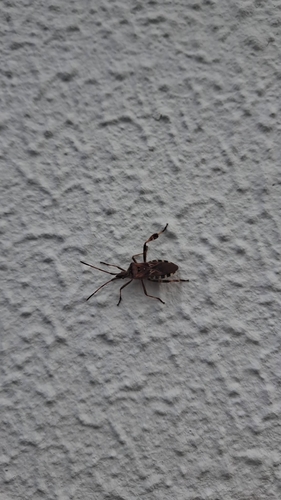
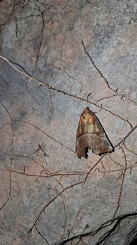
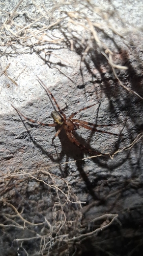
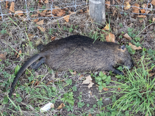
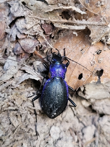
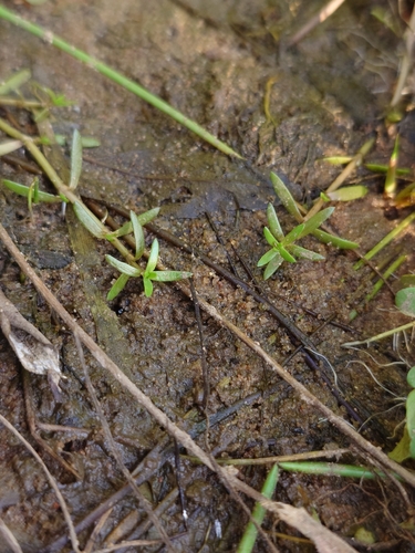
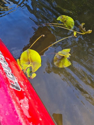
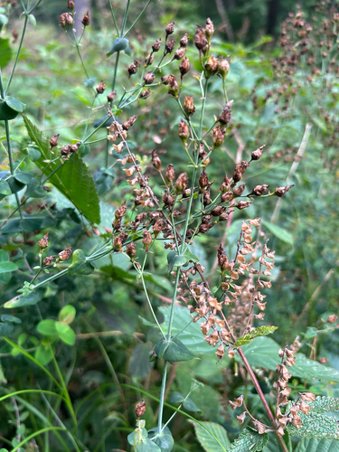

Research-grade observations from iNaturalist (within ~15 mi).
Events
Gallery
Official Identifiers
Destatis — German Federal Statistical Office
- AGS
- 06434002
- Population (Wikidata)
- 25,937
- Wikidata
- Q627742
Amtlicher Gemeindeschlüssel (AGS) via Wikidata P439
Sources
- • Wikipedia
- • Wikidata
- • USGS Earthquake Catalog (global feed)
- • GBIF (Global Biodiversity Information Facility)
- • iNaturalist
- • Open-Meteo / sunrise-sunset.org
- • Wikipedia Pageviews API
- • Destatis — German Federal Statistical Office — Amtlicher Gemeindeschlüssel (AGS) via Wikidata P439